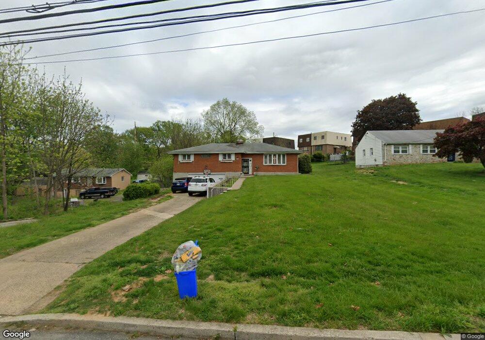
8901 Ashton Rd Philadelphia, PA 19136
Pennypack NeighborhoodEstimated Value: $275,000 - $336,000
--
Bed
--
Bath
1,340
Sq Ft
$231/Sq Ft
Est. Value
About This Home
This home is located at 8901 Ashton Rd, Philadelphia, PA 19136 and is currently estimated at $309,093, approximately $230 per square foot. 8901 Ashton Rd is a home located in Philadelphia County with nearby schools including Lincoln High School, Robert B. Pollock School, and Meehan Austin Middle School.
Ownership History
Date
Name
Owned For
Owner Type
Purchase Details
Closed on
Aug 23, 2012
Sold by
Clemens Sandra
Bought by
Scott Dorothy R and Clemets Sandra
Current Estimated Value
Purchase Details
Closed on
Sep 29, 2003
Sold by
Scott Sandra Y and Scott Dorothy R
Bought by
Scott Dorothy R
Purchase Details
Closed on
Jul 22, 1994
Sold by
Burrell Adell and Burrell Quesnesther
Bought by
Scott Sandra T and Scott Dorothy R
Create a Home Valuation Report for This Property
The Home Valuation Report is an in-depth analysis detailing your home's value as well as a comparison with similar homes in the area
Home Values in the Area
Average Home Value in this Area
Purchase History
| Date | Buyer | Sale Price | Title Company |
|---|---|---|---|
| Scott Dorothy R | -- | None Available | |
| Scott Dorothy R | -- | -- | |
| Scott Sandra T | $120,000 | Commonwealth Land Title Ins |
Source: Public Records
Tax History Compared to Growth
Tax History
| Year | Tax Paid | Tax Assessment Tax Assessment Total Assessment is a certain percentage of the fair market value that is determined by local assessors to be the total taxable value of land and additions on the property. | Land | Improvement |
|---|---|---|---|---|
| 2025 | $4,040 | $288,600 | $57,700 | $230,900 |
| 2024 | $4,040 | $288,600 | $57,700 | $230,900 |
| 2023 | $4,040 | $288,600 | $57,720 | $230,880 |
| 2022 | $2,626 | $243,600 | $57,720 | $185,880 |
| 2021 | $3,256 | $0 | $0 | $0 |
| 2020 | $3,256 | $0 | $0 | $0 |
| 2019 | $3,117 | $0 | $0 | $0 |
| 2018 | $2,952 | $0 | $0 | $0 |
| 2017 | $2,952 | $0 | $0 | $0 |
| 2016 | $2,532 | $0 | $0 | $0 |
| 2015 | $2,424 | $0 | $0 | $0 |
| 2014 | -- | $210,900 | $71,763 | $139,137 |
| 2012 | -- | $27,328 | $5,679 | $21,649 |
Source: Public Records
Map
Nearby Homes
- 2949 Joey Dr
- 4R & 6 Old Ashton Rd
- 2876 Walnut Hill St
- 8200 Colfax St
- 2817 Walnut Hill St Unit A
- 2738 Maxwell St
- 2831 Sebring Rd
- 2759 Axe Factory Rd
- 2934 Walnut Hill St
- 2831 Chase Rd
- 3100 Welsh Rd
- 8209 Albion St
- 2740 Mower St
- 2713 Clayton St
- 3165 Weston St
- 2959 Tremont St
- 8718 Hargrave St
- 8027 Narvon St
- 8803 Manchester St
- 2711 Winchester Ave
- 8899 Ashton Rd
- 8915 Ashton Rd
- 2933 Jenny Place
- 2925 Jenny Place
- 2935 Jenny Place
- 2911 Jenny Place
- 2917 Jenny Place
- 2937 Jenny Place
- 2907 Jenny Place
- 2909 Jenny Place
- 2905 Jenny Place
- 2939 Jenny Place
- 2903 Jenny Place
- 2901 Jenny Place
- 2941 Jenny Place
- 8915R Ashton Rd
- 8923 Ashton Rd
- 2928 Jenny Place
- 2926 Jenny Place
- 2930 Jenny Place