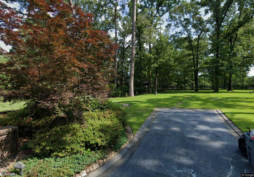
8903 Sundance Ridge Texarkana, TX 75503
Estimated Value: $632,000 - $924,893
--
Bed
--
Bath
3,921
Sq Ft
$199/Sq Ft
Est. Value
About This Home
This home is located at 8903 Sundance Ridge, Texarkana, TX 75503 and is currently estimated at $778,447, approximately $198 per square foot. 8903 Sundance Ridge is a home located in Bowie County with nearby schools including Margaret Fischer Davis Elementary School, Pleasant Grove Intermediate School, and Pleasant Grove Middle School.
Ownership History
Date
Name
Owned For
Owner Type
Purchase Details
Closed on
Jun 16, 2005
Sold by
Orr William Gregg and Orr Pam
Bought by
Springmann Kurt E
Current Estimated Value
Home Financials for this Owner
Home Financials are based on the most recent Mortgage that was taken out on this home.
Original Mortgage
$588,000
Outstanding Balance
$305,191
Interest Rate
5.67%
Mortgage Type
New Conventional
Estimated Equity
$473,256
Create a Home Valuation Report for This Property
The Home Valuation Report is an in-depth analysis detailing your home's value as well as a comparison with similar homes in the area
Home Values in the Area
Average Home Value in this Area
Purchase History
| Date | Buyer | Sale Price | Title Company |
|---|---|---|---|
| Springmann Kurt E | -- | None Available |
Source: Public Records
Mortgage History
| Date | Status | Borrower | Loan Amount |
|---|---|---|---|
| Open | Springmann Kurt E | $588,000 |
Source: Public Records
Tax History Compared to Growth
Tax History
| Year | Tax Paid | Tax Assessment Tax Assessment Total Assessment is a certain percentage of the fair market value that is determined by local assessors to be the total taxable value of land and additions on the property. | Land | Improvement |
|---|---|---|---|---|
| 2025 | $10,448 | $966,573 | $127,970 | $838,603 |
| 2024 | $10,448 | $950,947 | $127,970 | $822,977 |
| 2023 | $15,446 | $927,882 | $127,970 | $799,912 |
| 2022 | $15,968 | $885,346 | $125,280 | $760,066 |
| 2021 | $15,435 | $774,381 | $125,280 | $649,101 |
| 2020 | $14,996 | $747,032 | $125,280 | $621,752 |
| 2019 | $15,271 | $735,602 | $125,280 | $610,322 |
| 2018 | $15,135 | $735,602 | $125,280 | $610,322 |
| 2017 | $15,039 | $731,884 | $125,280 | $606,604 |
| 2016 | $13,446 | $706,558 | $125,280 | $581,278 |
| 2015 | $14,274 | $701,602 | $125,280 | $576,322 |
| 2014 | $14,274 | $724,880 | $125,280 | $599,600 |
Source: Public Records
Map
Nearby Homes
- 8905 River Ridge Dr
- Lot 18,19 Lakeridge
- 17 Oakridge Dr
- 0 Holly Creek Rd
- 8204 Thames Cir
- 16030 Broadleaf
- 12 Red Oak Ln
- 1529 Akin Rd
- 21 Red Oak Ln
- 60 Akin Oak Dr
- 45 Akin Oak Dr
- 10 Akin Oak Dr
- 15 Akin Oak Dr
- 1.5 acres Richmond Rd
- 3656 Farm To Market Road 559
- TBD Richmond Rd
- 7012 Cameron
- 8163 Coyote Trail
- 7008 Cameron
- 8112 Gadwall Trail
- 7 Riverside Place
- 11 Riverside Place
- 5 Riverside Place
- 8905 Sundance Ridge
- 8902 Sundance Ridge
- 0 Willow Glen Ln
- 8901 Sundance Ridge
- 9 Riverside Place
- 12 Riverside Place
- 8800 Willow Glen Ln
- 8904 Sundance Ridge
- 2 Riverside Place
- 8810 Willow Glen Ln
- 9000 Willow Glen Ln
- 9503 Rhine Ave
- 8908 Sundance Ridge
- 9505 Rhine Ave
- 9502 Rhine Ave
- 9406 Rhine Ave
- 10 River Oaks Dr