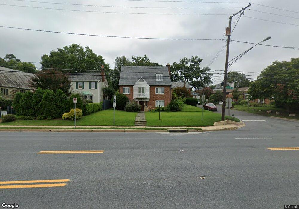
8906 Colesville Rd Silver Spring, MD 20910
Estimated Value: $900,000 - $992,000
Studio
2
Baths
3,653
Sq Ft
$261/Sq Ft
Est. Value
About This Home
This home is located at 8906 Colesville Rd, Silver Spring, MD 20910 and is currently estimated at $954,191, approximately $261 per square foot. 8906 Colesville Rd is a home located in Montgomery County with nearby schools including Woodlin Elementary School, Sligo Middle School, and Albert Einstein High School.
Ownership History
Date
Name
Owned For
Owner Type
Purchase Details
Closed on
Oct 24, 2022
Sold by
Investment Capital Llc
Bought by
Gudeta Alan B
Current Estimated Value
Home Financials for this Owner
Home Financials are based on the most recent Mortgage that was taken out on this home.
Original Mortgage
$621,000
Outstanding Balance
$600,194
Interest Rate
6.7%
Mortgage Type
New Conventional
Estimated Equity
$353,997
Purchase Details
Closed on
May 16, 2022
Sold by
Gallant Thomas K
Bought by
Investment Capital Llc
Home Financials for this Owner
Home Financials are based on the most recent Mortgage that was taken out on this home.
Original Mortgage
$950,000
Interest Rate
5.3%
Mortgage Type
New Conventional
Purchase Details
Closed on
Jan 8, 1999
Sold by
F Thomas K and F Gallant R
Bought by
Thomas K Gallant Et Al Tr
Create a Home Valuation Report for This Property
The Home Valuation Report is an in-depth analysis detailing your home's value as well as a comparison with similar homes in the area
Home Values in the Area
Average Home Value in this Area
Purchase History
| Date | Buyer | Sale Price | Title Company |
|---|---|---|---|
| Gudeta Alan B | $935,000 | Old Republic National Title | |
| Investment Capital Llc | $750,000 | None Listed On Document | |
| Thomas K Gallant Et Al Tr | -- | -- |
Source: Public Records
Mortgage History
| Date | Status | Borrower | Loan Amount |
|---|---|---|---|
| Open | Gudeta Alan B | $621,000 | |
| Previous Owner | Investment Capital Llc | $950,000 |
Source: Public Records
Tax History
| Year | Tax Paid | Tax Assessment Tax Assessment Total Assessment is a certain percentage of the fair market value that is determined by local assessors to be the total taxable value of land and additions on the property. | Land | Improvement |
|---|---|---|---|---|
| 2025 | $9,133 | $768,167 | -- | -- |
| 2024 | $9,133 | $729,800 | $314,300 | $415,500 |
| 2023 | $8,446 | $672,033 | $0 | $0 |
| 2022 | $6,716 | $614,267 | $0 | $0 |
| 2021 | $6,035 | $556,500 | $314,300 | $242,200 |
| 2020 | $5,990 | $555,500 | $0 | $0 |
| 2019 | $5,943 | $554,500 | $0 | $0 |
| 2018 | $6,115 | $553,500 | $297,700 | $255,800 |
| 2017 | $5,935 | $544,500 | $0 | $0 |
| 2016 | -- | $535,500 | $0 | $0 |
| 2015 | $5,560 | $526,500 | $0 | $0 |
| 2014 | $5,560 | $526,500 | $0 | $0 |
Source: Public Records
Map
Nearby Homes
- 700 Roeder Rd Unit 101
- 700 Roeder Rd Unit 103
- 8613 Cedar St
- 709 Woodside Pkwy
- 512 Pershing Dr
- 617 Greenbrier Dr
- 1102 Dale Dr
- 311 Ellsworth Dr
- 1320 Fenwick Ln Unit 711
- 1320 Fenwick Ln Unit 700
- 1320 Fenwick Ln Unit 203
- 1320 Fenwick Ln Unit 606
- 930 Wayne Ave Unit 1009
- 930 Wayne Ave Unit 405
- 406 Dale Dr
- 1305 Woodside Pkwy
- 1227 Fidler Ln
- 8509 2nd Ave
- 1415 Ballard St
- 708 Hankin St
Your Personal Tour Guide
Ask me questions while you tour the home.