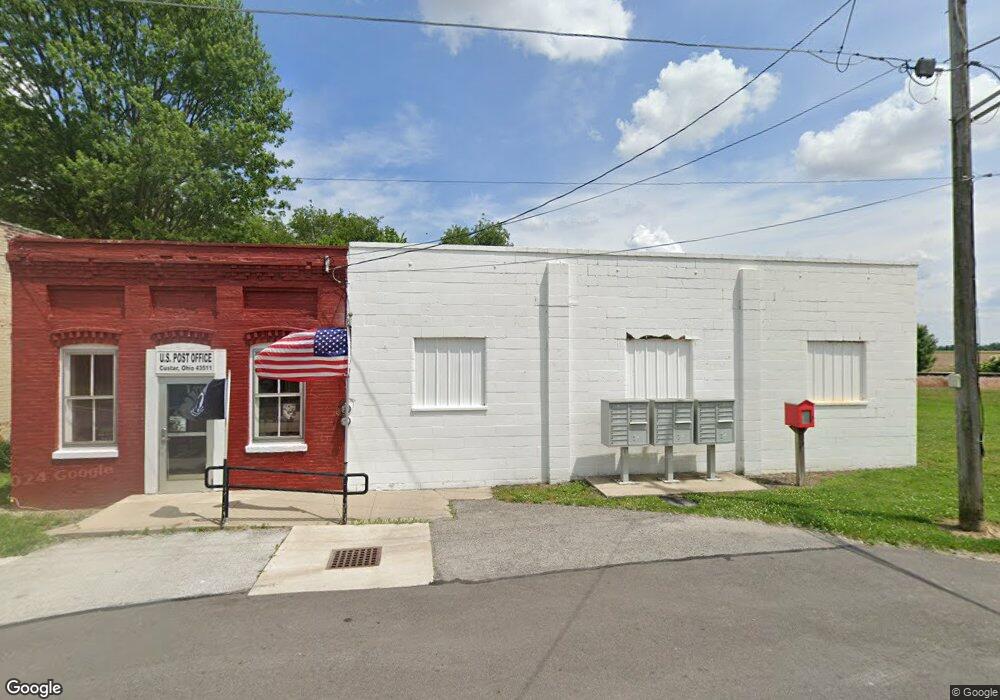
8906 Custar Rd Custar, OH 43511
Studio
--
Bath
1,508
Sq Ft
--
Built
About This Home
This home is located at 8906 Custar Rd, Custar, OH 43511. 8906 Custar Rd is a home located in Wood County with nearby schools including Bowling Green High School.
Ownership History
Date
Name
Owned For
Owner Type
Purchase Details
Closed on
Feb 15, 2019
Sold by
Custar Po Llc
Bought by
Custar Properties Llc
Purchase Details
Closed on
Dec 6, 2017
Sold by
Redevelopers Ltd
Bought by
Custar Po Llc
Purchase Details
Closed on
Sep 27, 2017
Sold by
Certain Parcels Of Land Encumbered With
Bought by
Redevelopers Ltd
Purchase Details
Closed on
Oct 16, 2006
Sold by
Pfeifer Harry and Pfeifer Mary Ann
Bought by
Hostettler Richard K
Purchase Details
Closed on
Apr 20, 2006
Sold by
Montague Ted and Pfeifer Harry
Bought by
Pfeifer Harry
Purchase Details
Closed on
Jul 28, 2005
Sold by
Richardson Angela L
Bought by
Richardson Angela L and The Angela L Richardson Trust
Purchase Details
Closed on
Sep 17, 1982
Bought by
Richardson Raymond R
Create a Home Valuation Report for This Property
The Home Valuation Report is an in-depth analysis detailing your home's value as well as a comparison with similar homes in the area
Purchase History
| Date | Buyer | Sale Price | Title Company |
|---|---|---|---|
| Custar Properties Llc | $13,000 | None Available | |
| Custar Po Llc | -- | None Available | |
| Redevelopers Ltd | $3,766 | None Available | |
| Hostettler Richard K | $23,000 | American Title Agency | |
| Pfeifer Harry | -- | American Title Agency | |
| Richardson Angela L | -- | -- | |
| Richardson Raymond R | -- | -- |
Source: Public Records
Tax History
| Year | Tax Paid | Tax Assessment Tax Assessment Total Assessment is a certain percentage of the fair market value that is determined by local assessors to be the total taxable value of land and additions on the property. | Land | Improvement |
|---|---|---|---|---|
| 2025 | $772 | $11,375 | $945 | $10,430 |
| 2024 | $769 | $11,375 | $945 | $10,430 |
| 2023 | $769 | $11,380 | $950 | $10,430 |
| 2021 | $546 | $7,910 | $1,120 | $6,790 |
| 2020 | $540 | $7,910 | $1,120 | $6,790 |
| 2019 | $540 | $7,910 | $1,120 | $6,790 |
| 2018 | $680 | $7,910 | $1,120 | $6,790 |
| 2017 | $546 | $7,910 | $1,120 | $6,790 |
| 2016 | $544 | $7,980 | $1,120 | $6,860 |
| 2015 | $544 | $7,980 | $1,120 | $6,860 |
| 2014 | $561 | $7,980 | $1,120 | $6,860 |
| 2013 | $563 | $7,980 | $1,120 | $6,860 |
Source: Public Records
Map
Nearby Homes
- 22759 Defiance Pike
- 21490 Portage Rd
- 24642 Hammansburg Rd Unit 309-0700
- 117 Meadow Ln
- 115 Meadow Ln
- 113 N Meadow Ln
- 116 Meadow Ln
- 119 N Harvest St
- 112 N Harvest Dr
- 121 N Harvest St
- 118 N Harvest Dr
- 120 N Harvest Dr
- 102 N Harvest Dr
- 107 N Harvest St
- 125 N Harvest Dr
- 117 N Harvest St
- 123 N Harvest St
- 104 N Harvest Dr
- 100 N Harvest Dr
- 110 N Harvest Dr
- 8924 Custar Rd
- 8905 Custar Rd
- 8905 Custar Rd
- 8905 Custar Rd
- 8905 Custar Rd
- 8905 Custar Rd
- 8905 Custar Rd
- 8952 Custar Rd
- 8949 Custar Rd
- 8951 Custar Rd
- 8906 France St
- 0 France Ave
- 0 France Ave
- 8894 France Ave
- 8906 France Ave
- 0 France Ave
- 8975 Superior St
- 8905 France Ave
- 8883 France Ave
- 8987 Superior St
Your Personal Tour Guide
Ask me questions while you tour the home.