8906 Homestead Rd Kingston, OK 73439
Estimated Value: $681,633 - $852,000
3
Beds
2
Baths
1,632
Sq Ft
$475/Sq Ft
Est. Value
About This Home
This home is located at 8906 Homestead Rd, Kingston, OK 73439 and is currently estimated at $774,908, approximately $474 per square foot. 8906 Homestead Rd is a home with nearby schools including Kingston Middle School and Kingston High School.
Ownership History
Date
Name
Owned For
Owner Type
Purchase Details
Closed on
May 19, 2021
Sold by
Starns William F and Starns Jerri K
Bought by
Paula Bush Family Trust
Current Estimated Value
Purchase Details
Closed on
Sep 26, 2011
Sold by
Starns William Franklin and Starns Jerri Kay
Bought by
Starns William Franklin and Starns Jerry Kay
Purchase Details
Closed on
Aug 29, 2007
Sold by
Starns William Franklin and Starns Jerri Kay
Bought by
Starns William Franklin and Starns Jerri Kay
Purchase Details
Closed on
Feb 4, 1998
Sold by
Pierce Steve
Bought by
Starns Starns W and Starns F
Purchase Details
Closed on
Jul 23, 1997
Sold by
Est Of William Thompson
Bought by
Pierce Steve
Create a Home Valuation Report for This Property
The Home Valuation Report is an in-depth analysis detailing your home's value as well as a comparison with similar homes in the area
Home Values in the Area
Average Home Value in this Area
Purchase History
| Date | Buyer | Sale Price | Title Company |
|---|---|---|---|
| Paula Bush Family Trust | $510,000 | Marshall Cnty Abstract Co Ll | |
| Starns William Franklin | -- | -- | |
| Starns William Franklin | -- | -- | |
| Starns Starns W | $70,000 | -- | |
| Pierce Steve | $50,000 | -- |
Source: Public Records
Tax History Compared to Growth
Tax History
| Year | Tax Paid | Tax Assessment Tax Assessment Total Assessment is a certain percentage of the fair market value that is determined by local assessors to be the total taxable value of land and additions on the property. | Land | Improvement |
|---|---|---|---|---|
| 2025 | $4,672 | $60,888 | $28,125 | $32,763 |
| 2023 | $4,672 | $56,250 | $25,536 | $30,714 |
| 2022 | $4,481 | $56,250 | $25,536 | $30,714 |
| 2021 | $2,739 | $35,473 | $6,919 | $28,554 |
| 2020 | $2,741 | $35,353 | $6,799 | $28,554 |
| 2019 | $2,674 | $34,323 | $5,484 | $28,839 |
| 2018 | $2,687 | $34,323 | $5,484 | $28,839 |
| 2017 | $2,600 | $33,493 | $5,295 | $28,198 |
| 2016 | $2,531 | $32,517 | $5,316 | $27,201 |
| 2015 | $2,549 | $31,570 | $5,316 | $26,254 |
| 2014 | $2,522 | $31,108 | $5,316 | $25,792 |
Source: Public Records
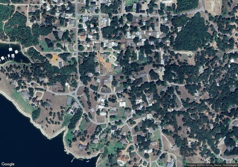
Map
Nearby Homes
- 7035 A St
- 8813 Soldier Creek Rd
- 9094 Waters Edge
- 8773 Lake View Dr
- 8683 Lake View Dr
- 8653 Lake View Dr
- 8795 Lake View Dr
- 7172 C St
- 8641 Lake View
- 6859 Magnolia Dr
- 8913 Pear St
- 0 A St Unit 2524582
- 0 A St Unit 2510015
- 6688 E
- 000 Apple St
- 7542 Big Buck Ln
- 7581 Little Buck Ln
- 8973 Birch St
- 8775 Leonard St
- 8565 Lorene St
- 8944 Homestead Rd
- 8840 Homestead Rd
- 6976 Frontline Cir
- 8889 Homestead Rd
- 8948 Homestead Rd
- 8929 Homestead Rd
- 8923 Pear St
- 8824 Homestead Rd
- 6992 Frontline Cir
- 8867 Homestead Rd
- 8972 Lake View Dr
- 9 Pear St
- 8 Pear St
- 8948 Lake View Dr
- Lot 8 Pear St
- Lot 6 Pear St
- Lot 3 Pear St
- Lot 1 Pear St
- Lot 1-10 Pear St
- Lot 9 Pear St