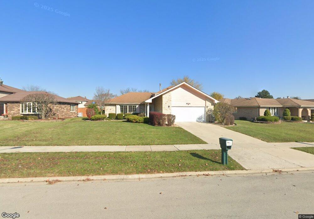
8906 Merion Dr Orland Park, IL 60462
Silver Lake South NeighborhoodEstimated Value: $417,854 - $426,000
3
Beds
2
Baths
1,465
Sq Ft
$288/Sq Ft
Est. Value
About This Home
This home is located at 8906 Merion Dr, Orland Park, IL 60462 and is currently estimated at $421,214, approximately $287 per square foot. 8906 Merion Dr is a home located in Cook County with nearby schools including Liberty Elementary School, Orland Center School, and Jerling Junior High School.
Ownership History
Date
Name
Owned For
Owner Type
Purchase Details
Closed on
Dec 15, 2004
Sold by
Bracken Joseph J and Bracken Gina M
Bought by
Khalil Hesnam and Mansour Maysa
Current Estimated Value
Home Financials for this Owner
Home Financials are based on the most recent Mortgage that was taken out on this home.
Original Mortgage
$250,000
Outstanding Balance
$126,615
Interest Rate
5.9%
Mortgage Type
New Conventional
Estimated Equity
$294,599
Create a Home Valuation Report for This Property
The Home Valuation Report is an in-depth analysis detailing your home's value as well as a comparison with similar homes in the area
Home Values in the Area
Average Home Value in this Area
Purchase History
| Date | Buyer | Sale Price | Title Company |
|---|---|---|---|
| Khalil Hesnam | $312,500 | Pntn |
Source: Public Records
Mortgage History
| Date | Status | Borrower | Loan Amount |
|---|---|---|---|
| Open | Khalil Hesnam | $250,000 | |
| Closed | Khalil Hesnam | $46,875 |
Source: Public Records
Tax History Compared to Growth
Tax History
| Year | Tax Paid | Tax Assessment Tax Assessment Total Assessment is a certain percentage of the fair market value that is determined by local assessors to be the total taxable value of land and additions on the property. | Land | Improvement |
|---|---|---|---|---|
| 2024 | $8,180 | $36,000 | $6,329 | $29,671 |
| 2023 | $6,158 | $36,000 | $6,329 | $29,671 |
| 2022 | $6,158 | $23,978 | $5,570 | $18,408 |
| 2021 | $5,973 | $23,977 | $5,569 | $18,408 |
| 2020 | $5,813 | $23,977 | $5,569 | $18,408 |
| 2019 | $6,068 | $25,537 | $5,063 | $20,474 |
| 2018 | $5,900 | $25,537 | $5,063 | $20,474 |
| 2017 | $5,783 | $25,537 | $5,063 | $20,474 |
| 2016 | $5,376 | $21,763 | $4,557 | $17,206 |
| 2015 | $5,289 | $21,763 | $4,557 | $17,206 |
| 2014 | $5,226 | $21,763 | $4,557 | $17,206 |
| 2013 | $5,910 | $25,686 | $4,557 | $21,129 |
Source: Public Records
Map
Nearby Homes
- 8824 Carnoustie Dr
- 15633 Orlan Brook Dr
- 8624 Kendall Ln
- 8622 Kendall Ln
- 9170 Wheeler Dr
- 15726 Orlan Brook Dr Unit 193
- 15713 Orlan Brook Dr Unit 98
- 15717 Orlan Brook Dr Unit G83
- 9209 Cliffside Ln Unit 54C
- 15826 Orlan Brook Dr Unit 3S
- 9291 Erin Ln Unit D7
- 15511 Westminster Dr Unit 65B
- 15712 86th Ave Unit 117
- 15324 Regent Dr
- 9314 Wherry Ln Unit D
- 15642 Plum Tree Dr
- 15233 Lawrence Ct
- 15636 Chapel Hill Rd
- 9180 136th St
- 8909 Silverdale Dr Unit 5C
- 8900 Merion Dr
- 8910 Merion Dr
- 8905 Wheeler Dr
- 8909 Wheeler Dr
- 8916 Merion Dr
- 8865 Wheeler Dr
- 15541 Sunrise Ln
- 15540 Sunrise Ln
- 8917 Wheeler Dr
- 8850 Merion Dr
- 8920 Merion Dr
- 8861 Wheeler Dr
- 15540 Kemper Dr
- 15550 Sunrise Ln
- 15551 Sunrise Ln
- 15541 Frances Ln
- 8927 Wheeler Dr
- 8840 Merion Dr
- 15550 Kemper Dr