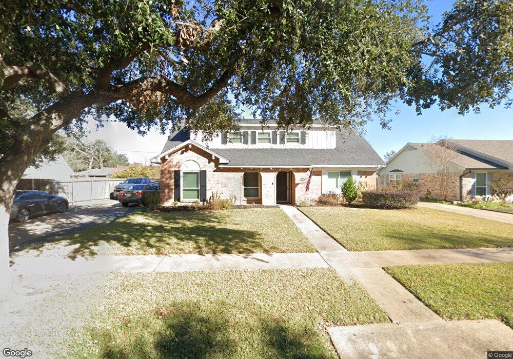
8906 Sandstone St Houston, TX 77036
Chinatown NeighborhoodEstimated Value: $336,759 - $369,000
5
Beds
2
Baths
2,351
Sq Ft
$148/Sq Ft
Est. Value
About This Home
This home is located at 8906 Sandstone St, Houston, TX 77036 and is currently estimated at $347,690, approximately $147 per square foot. 8906 Sandstone St is a home located in Harris County with nearby schools including Ed White Elementary School, Sugar Grove Academy, and Sharpstown High School.
Ownership History
Date
Name
Owned For
Owner Type
Purchase Details
Closed on
Mar 26, 2003
Sold by
Allison John Randall
Bought by
Allison Maria Kokonis
Current Estimated Value
Purchase Details
Closed on
Aug 26, 1999
Sold by
Chan King Y and Cheung Ming C
Bought by
Allison Maria K
Home Financials for this Owner
Home Financials are based on the most recent Mortgage that was taken out on this home.
Original Mortgage
$97,750
Outstanding Balance
$38,717
Interest Rate
12.25%
Estimated Equity
$308,973
Create a Home Valuation Report for This Property
The Home Valuation Report is an in-depth analysis detailing your home's value as well as a comparison with similar homes in the area
Home Values in the Area
Average Home Value in this Area
Purchase History
| Date | Buyer | Sale Price | Title Company |
|---|---|---|---|
| Allison Maria Kokonis | -- | -- | |
| Allison Maria K | -- | Alamo Title 21 |
Source: Public Records
Mortgage History
| Date | Status | Borrower | Loan Amount |
|---|---|---|---|
| Open | Allison Maria K | $97,750 |
Source: Public Records
Tax History Compared to Growth
Tax History
| Year | Tax Paid | Tax Assessment Tax Assessment Total Assessment is a certain percentage of the fair market value that is determined by local assessors to be the total taxable value of land and additions on the property. | Land | Improvement |
|---|---|---|---|---|
| 2025 | $4,374 | $320,066 | $98,682 | $221,384 |
| 2024 | $4,374 | $317,836 | $98,682 | $219,154 |
| 2023 | $4,374 | $344,446 | $98,682 | $245,764 |
| 2022 | $5,896 | $291,510 | $57,565 | $233,945 |
| 2021 | $5,475 | $255,752 | $49,341 | $206,411 |
| 2020 | $5,342 | $213,550 | $49,341 | $164,209 |
| 2019 | $5,496 | $210,543 | $49,341 | $161,202 |
| 2018 | $3,721 | $197,752 | $49,341 | $148,411 |
| 2017 | $5,146 | $197,752 | $49,341 | $148,411 |
| 2016 | $4,678 | $197,752 | $49,341 | $148,411 |
| 2015 | $2,885 | $178,736 | $49,341 | $129,395 |
| 2014 | $2,885 | $159,313 | $49,341 | $109,972 |
Source: Public Records
Map
Nearby Homes
- 8818 Roos Rd
- 7303 Augustine Dr
- 9006 Roos Rd
- 8826 Rowan Ln
- 8923 Hendon Ln
- 7302 Redding Rd
- 8902 Langdon Ln
- 8530 Roos Rd
- 7302 Burning Tree Dr
- 9238 Stroud Dr
- 9215 Sharpcrest St
- 7939 Kendalia Dr
- 8527 Edgemoor Dr
- 8515 Edgemoor Dr
- 9506 Hendon Ln
- 8418 Hazen St
- 9234 Westwood Village Dr Unit 17
- 8826 Tanager St
- 9345 Westwood Village Dr Unit 30
- 9393 Westwood Village Dr Unit 64
- 8902 Sandstone St
- 8839 Sharpview Dr
- 8835 Sharpview Dr
- 8834 Sandstone St
- 8843 Sharpview Dr
- 8907 Sandstone St
- 8831 Sharpview Dr
- 8903 Sandstone St
- 9002 Sandstone St
- 8830 Sandstone St
- 8911 Sandstone St
- 8835 Sandstone St
- 8827 Sharpview Dr
- 8903 Sharpview Dr
- 8831 Sandstone St
- 9006 Sandstone St
- 9003 Sandstone St
- 8826 Sandstone St
- 8838 Sharpview Dr
- 8910 Triola Ln