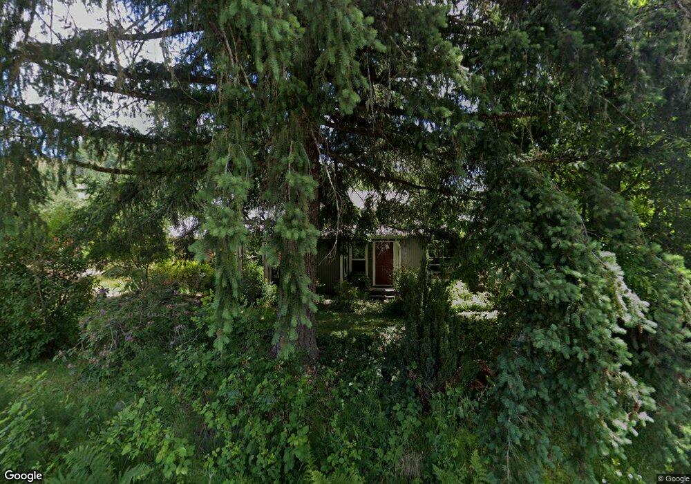
8906 Scotts Valley Rd Yoncalla, OR 97499
Estimated Value: $360,000 - $486,000
3
Beds
2
Baths
1,507
Sq Ft
$276/Sq Ft
Est. Value
About This Home
This home is located at 8906 Scotts Valley Rd, Yoncalla, OR 97499 and is currently estimated at $416,455, approximately $276 per square foot. 8906 Scotts Valley Rd is a home located in Douglas County with nearby schools including Yoncalla Elementary School and Yoncalla High School.
Ownership History
Date
Name
Owned For
Owner Type
Purchase Details
Closed on
Oct 25, 2013
Sold by
Grove Ronald E
Bought by
Hudson Gary J and Hudson Rose E
Current Estimated Value
Home Financials for this Owner
Home Financials are based on the most recent Mortgage that was taken out on this home.
Original Mortgage
$138,400
Outstanding Balance
$103,807
Interest Rate
4.53%
Mortgage Type
New Conventional
Estimated Equity
$312,648
Purchase Details
Closed on
Aug 8, 2011
Sold by
Thaele Paul H and Thaele Mary Anne
Bought by
Grove Ronald E
Home Financials for this Owner
Home Financials are based on the most recent Mortgage that was taken out on this home.
Original Mortgage
$121,600
Interest Rate
4.46%
Mortgage Type
New Conventional
Create a Home Valuation Report for This Property
The Home Valuation Report is an in-depth analysis detailing your home's value as well as a comparison with similar homes in the area
Purchase History
| Date | Buyer | Sale Price | Title Company |
|---|---|---|---|
| Hudson Gary J | $173,000 | First American Title | |
| Grove Ronald E | $152,000 | First American Title Ins Co |
Source: Public Records
Mortgage History
| Date | Status | Borrower | Loan Amount |
|---|---|---|---|
| Open | Hudson Gary J | $138,400 | |
| Previous Owner | Grove Ronald E | $121,600 |
Source: Public Records
Tax History
| Year | Tax Paid | Tax Assessment Tax Assessment Total Assessment is a certain percentage of the fair market value that is determined by local assessors to be the total taxable value of land and additions on the property. | Land | Improvement |
|---|---|---|---|---|
| 2025 | $1,430 | $146,828 | -- | -- |
| 2024 | $1,379 | $142,552 | -- | -- |
| 2023 | $1,341 | $138,400 | $0 | $0 |
| 2022 | $1,304 | $134,369 | $0 | $0 |
| 2021 | $1,268 | $130,456 | $0 | $0 |
| 2020 | $1,233 | $126,657 | $0 | $0 |
| 2019 | $1,199 | $122,968 | $0 | $0 |
| 2018 | $1,166 | $119,387 | $0 | $0 |
| 2017 | $1,134 | $115,910 | $0 | $0 |
| 2016 | $1,103 | $112,534 | $0 | $0 |
| 2015 | $1,072 | $109,257 | $0 | $0 |
| 2014 | $1,043 | $106,075 | $0 | $0 |
| 2013 | -- | $102,986 | $0 | $0 |
Source: Public Records
Map
Nearby Homes
- 1791 Scotts Valley Rd
- 864 Larkspur Ln
- 0 Wilson Rd Unit 22339417
- 420 Halo Trail Rd
- 749 Douglas St
- 500 Elm St
- 0 1st St
- 173 Main St
- 644 Main St
- 373 Hayhurst Rd
- 435 Spruce St
- 703 Main St
- 72956 London Rd
- 5290 Goodrich Hwy
- 1059 Wooley Ct
- 1019 Wooley Ct
- 1039 Wooley Ct
- 1079 Wooley Ct
- 1089 Wooley Ct
- 491 Oakwood Dr
Your Personal Tour Guide
Ask me questions while you tour the home.