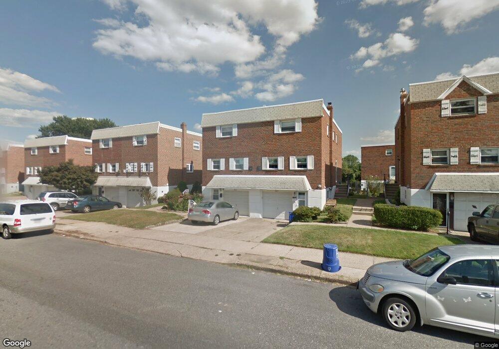
8907 Dewees St Philadelphia, PA 19152
Pennypack NeighborhoodEstimated Value: $312,061 - $369,000
--
Bed
--
Bath
1,336
Sq Ft
$262/Sq Ft
Est. Value
About This Home
This home is located at 8907 Dewees St, Philadelphia, PA 19152 and is currently estimated at $349,515, approximately $261 per square foot. 8907 Dewees St is a home with nearby schools including Lincoln High School, Robert B. Pollock School, and Meehan Austin Middle School.
Ownership History
Date
Name
Owned For
Owner Type
Purchase Details
Closed on
Dec 1, 2003
Sold by
Marcus Alvin M and Marcus Geraldine I
Bought by
James Joseph K and James Mary C
Current Estimated Value
Home Financials for this Owner
Home Financials are based on the most recent Mortgage that was taken out on this home.
Original Mortgage
$120,000
Interest Rate
5.83%
Mortgage Type
Purchase Money Mortgage
Create a Home Valuation Report for This Property
The Home Valuation Report is an in-depth analysis detailing your home's value as well as a comparison with similar homes in the area
Home Values in the Area
Average Home Value in this Area
Purchase History
| Date | Buyer | Sale Price | Title Company |
|---|---|---|---|
| James Joseph K | $150,000 | -- |
Source: Public Records
Mortgage History
| Date | Status | Borrower | Loan Amount |
|---|---|---|---|
| Previous Owner | James Joseph K | $120,000 | |
| Closed | James Joseph K | $22,500 |
Source: Public Records
Tax History Compared to Growth
Tax History
| Year | Tax Paid | Tax Assessment Tax Assessment Total Assessment is a certain percentage of the fair market value that is determined by local assessors to be the total taxable value of land and additions on the property. | Land | Improvement |
|---|---|---|---|---|
| 2025 | $3,385 | $304,700 | $60,940 | $243,760 |
| 2024 | $3,385 | $304,700 | $60,940 | $243,760 |
| 2023 | $3,385 | $241,800 | $48,360 | $193,440 |
| 2022 | $2,132 | $196,800 | $48,360 | $148,440 |
| 2021 | $2,762 | $0 | $0 | $0 |
| 2020 | $2,762 | $0 | $0 | $0 |
| 2019 | $2,601 | $0 | $0 | $0 |
| 2018 | $2,455 | $0 | $0 | $0 |
| 2017 | $2,455 | $0 | $0 | $0 |
| 2016 | $2,035 | $0 | $0 | $0 |
| 2015 | $1,948 | $0 | $0 | $0 |
| 2014 | -- | $175,400 | $46,706 | $128,694 |
| 2012 | -- | $23,104 | $2,974 | $20,130 |
Source: Public Records
Map
Nearby Homes
- 8920 Maxwell Place
- 9044 Brous Ave
- 9109 Revere St
- 9028 Brous Ave
- 8817 R Danbury St
- 9009 Brous Ave
- 2633 Maxwell St
- 8945 Haven Place
- 8860 Manchester St
- 8800 Danbury St
- 2648 Maxwell St
- 2777 Welsh Rd
- 2742 Welsh Rd
- 2678 Tremont St
- 2651 Tremont St
- 2630 Taunton St
- 2831 Chase Rd
- 8718 Hargrave St
- 8853 Calvert St
- 2713 Clayton St
- 8909 Dewees St
- 8903 Dewees St
- 8911 Dewees St
- 8901 Dewees St
- 2605 Maxwell St
- 8913 Dewees St
- 2607 Maxwell St
- 8915 Dewees St
- 2543 Maxwell St
- 8914 Maxwell Place
- 2541 Maxwell St
- 2609 Maxwell St
- 8917 Dewees St
- 9045 Brous Ave
- 8845 Dewees St
- 8912 Maxwell Place
- 2611 Maxwell St
- 8916 Maxwell Place
- 9043 Brous Ave
- 8919 Dewees St