8907 Michaela Ln Waynesville, OH 45068
Wayne Township NeighborhoodEstimated Value: $608,078 - $691,000
4
Beds
4
Baths
3,211
Sq Ft
$203/Sq Ft
Est. Value
About This Home
This home is located at 8907 Michaela Ln, Waynesville, OH 45068 and is currently estimated at $650,770, approximately $202 per square foot. 8907 Michaela Ln is a home located in Warren County with nearby schools including Waynesville Elementary School, Waynesville Middle School, and Waynesville High School.
Ownership History
Date
Name
Owned For
Owner Type
Purchase Details
Closed on
Feb 8, 2008
Sold by
Daniel Brian J and Daniel Faith A
Bought by
Hatton Nathan A and Hatton Danielle L
Current Estimated Value
Home Financials for this Owner
Home Financials are based on the most recent Mortgage that was taken out on this home.
Original Mortgage
$329,400
Outstanding Balance
$208,319
Interest Rate
6.11%
Mortgage Type
Purchase Money Mortgage
Estimated Equity
$442,451
Purchase Details
Closed on
Feb 13, 2004
Sold by
Daniel Brian J
Bought by
Daniel Faith A
Purchase Details
Closed on
Jan 4, 2001
Sold by
Roy Schweitzer Trst
Bought by
Daniel Brian J and Daniel Faith A
Home Financials for this Owner
Home Financials are based on the most recent Mortgage that was taken out on this home.
Original Mortgage
$180,000
Interest Rate
7.77%
Mortgage Type
New Conventional
Create a Home Valuation Report for This Property
The Home Valuation Report is an in-depth analysis detailing your home's value as well as a comparison with similar homes in the area
Home Values in the Area
Average Home Value in this Area
Purchase History
| Date | Buyer | Sale Price | Title Company |
|---|---|---|---|
| Hatton Nathan A | -- | Advantage Title Company Inc | |
| Hatton Nathan A | $366,000 | Advantage Title Company Inc | |
| Daniel Faith A | -- | -- | |
| Daniel Brian J | $33,000 | -- |
Source: Public Records
Mortgage History
| Date | Status | Borrower | Loan Amount |
|---|---|---|---|
| Open | Hatton Nathan A | $329,400 | |
| Previous Owner | Daniel Brian J | $180,000 |
Source: Public Records
Tax History Compared to Growth
Tax History
| Year | Tax Paid | Tax Assessment Tax Assessment Total Assessment is a certain percentage of the fair market value that is determined by local assessors to be the total taxable value of land and additions on the property. | Land | Improvement |
|---|---|---|---|---|
| 2024 | $7,308 | $183,260 | $32,200 | $151,060 |
| 2023 | $6,683 | $147,066 | $18,998 | $128,068 |
| 2022 | $6,534 | $147,067 | $18,998 | $128,069 |
| 2021 | $6,266 | $147,067 | $18,998 | $128,069 |
| 2020 | $6,158 | $124,632 | $16,100 | $108,532 |
| 2019 | $6,161 | $124,632 | $16,100 | $108,532 |
| 2018 | $6,163 | $124,632 | $16,100 | $108,532 |
| 2017 | $5,529 | $104,314 | $10,752 | $93,562 |
| 2016 | $5,159 | $104,314 | $10,752 | $93,562 |
| 2015 | $5,167 | $104,314 | $10,752 | $93,562 |
| 2014 | $5,288 | $101,270 | $10,440 | $90,840 |
| 2013 | $5,277 | $117,150 | $12,080 | $105,070 |
Source: Public Records
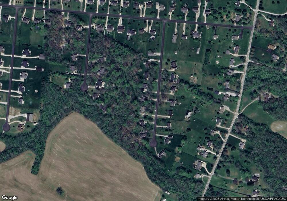
Map
Nearby Homes
- 9052 Wilson Rd
- 9500 Collett Rd Unit 20
- 8648 Compton Rd
- 8881 Route 42
- 7364 Cook Jones Rd
- 8760 State Route 380
- 2 Acres Mount Holly Rd
- 9 Cumberland Ct
- 7902 N US Rt 42
- 9161 Old Stage Rd
- 8519 Old Stage Rd
- 9510 Bellbrook Rd
- 116 Maple St
- 7219 N Us Rt 42
- 196 Mound St
- 7219 U S 42
- 7219 N Route 42
- 0 Penewit Rd
- 10 Acres Penewit Rd
- 6329 State Route 380
- 8885 Michaela Ln
- 8929 Michaela Ln
- 8953 Michaela Ln
- 8861 Michaela Ln
- 8975 Michaela Ln
- 8974 Adam Ln
- 8948 Adam Ln
- 8839 Michaela Ln
- 8906 Michaela Ln
- 8956 Adam Ln
- 8884 Michaela Ln
- 8928 Michaela Ln
- 8996 Adam Ln
- 8858 Michaela Ln
- 8952 Michaela Ln
- 8974 Michaela Ln
- 9014 Adam Ln
- 8834 Michaela Ln
- 9715 Sandy Run Dr
- 8820 Michaela Ln