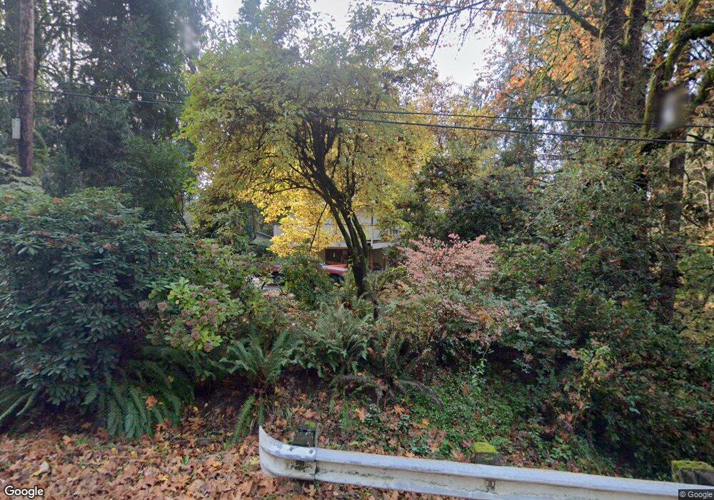
89074 Bridge St Springfield, OR 97478
Estimated Value: $596,000 - $733,000
4
Beds
3
Baths
2,134
Sq Ft
$306/Sq Ft
Est. Value
About This Home
This home is located at 89074 Bridge St, Springfield, OR 97478 and is currently estimated at $652,056, approximately $305 per square foot. 89074 Bridge St is a home located in Lane County with nearby schools including Walterville Elementary School, Briggs Middle School, and Thurston High School.
Ownership History
Date
Name
Owned For
Owner Type
Purchase Details
Closed on
Apr 9, 2015
Sold by
Nash Pamela Kay and Dewey Steven Lewis
Bought by
Nash Pamela K and Dewey Steven L
Current Estimated Value
Home Financials for this Owner
Home Financials are based on the most recent Mortgage that was taken out on this home.
Original Mortgage
$275,793
Interest Rate
3.5%
Mortgage Type
FHA
Purchase Details
Closed on
Jun 14, 2011
Sold by
Nash Ray
Bought by
Nash Pamela Kay and Dewey Steven Lewis
Purchase Details
Closed on
Jun 13, 2011
Sold by
Nash Ray
Bought by
Nash Pamela Kay and Dewey Steven Lewis
Create a Home Valuation Report for This Property
The Home Valuation Report is an in-depth analysis detailing your home's value as well as a comparison with similar homes in the area
Purchase History
| Date | Buyer | Sale Price | Title Company |
|---|---|---|---|
| Nash Pamela K | -- | Western Title & Escrow Co | |
| Nash Pamela Kay | -- | Multiple | |
| Nash Pamela Kay | $250,000 | None Available |
Source: Public Records
Mortgage History
| Date | Status | Borrower | Loan Amount |
|---|---|---|---|
| Closed | Nash Pamela K | $275,793 |
Source: Public Records
Tax History
| Year | Tax Paid | Tax Assessment Tax Assessment Total Assessment is a certain percentage of the fair market value that is determined by local assessors to be the total taxable value of land and additions on the property. | Land | Improvement |
|---|---|---|---|---|
| 2025 | $3,944 | $347,041 | -- | -- |
| 2024 | $3,665 | $335,369 | -- | -- |
| 2023 | $3,665 | $325,601 | $0 | $0 |
| 2022 | $3,493 | $316,118 | $0 | $0 |
| 2021 | $3,411 | $306,911 | $0 | $0 |
| 2020 | $3,305 | $297,972 | $0 | $0 |
| 2019 | $3,131 | $289,294 | $0 | $0 |
| 2018 | $3,027 | $272,687 | $0 | $0 |
| 2017 | $2,915 | $272,687 | $0 | $0 |
| 2016 | $2,829 | $264,745 | $0 | $0 |
| 2015 | $2,760 | $257,034 | $0 | $0 |
| 2014 | $2,620 | $249,548 | $0 | $0 |
Source: Public Records
Map
Nearby Homes
- 41886 Deerhorn Rd
- 89011 Bridge St
- 41925 Deerhorn Rd
- 41929 Deerhorn Rd
- 0000 Whitewater Rd Unit 2332
- 40971 Deerhorn Rd
- 42799 Leaburg Dr
- 42986 Mckenzie Hwy
- 40211 Deerhorn Rd
- 40064 Mckenzie Hwy
- 0 Tonga Ln
- 88154 Tiki Ln
- 40153 Booth Kelly Rd
- 43950 Mckenzie Hwy
- 39464 Walterville Ln
- 39125 Easton Ln
- 90409 Mountain View Ln
- 44561 Mckenzie Hwy
- 0 Upper Camp Creek Rd Unit 734099093
- 0 Upper Camp Creek Rd Unit 473471921
- 41825 Madrone St
- 89066 Bridge St
- 89058 Bridge St
- 27 Omlid Dr
- 41835 Madrone St
- 89065 Bridge St
- 41823 Madrone St
- 89057 Bridge St
- 89050 Bridge St
- 41843 Madrone St
- 89049 Bridge St
- 89089 Bridge St
- 89089 Bridge Dr
- 41845 Madrone St
- 41883 Deerhorn Rd
- 41917 Deerhorn Rd
- 26 Omlid Dr
- 89041 Bridge St
- 41919 Deerhorn Rd
- 41853 Madrone St
Your Personal Tour Guide
Ask me questions while you tour the home.