8908 Wilson Rd Waynesville, OH 45068
Wayne Township NeighborhoodEstimated Value: $391,392 - $572,000
5
Beds
2
Baths
2,509
Sq Ft
$187/Sq Ft
Est. Value
About This Home
This home is located at 8908 Wilson Rd, Waynesville, OH 45068 and is currently estimated at $470,098, approximately $187 per square foot. 8908 Wilson Rd is a home located in Warren County with nearby schools including Waynesville Elementary School, Waynesville Middle School, and Waynesville High School.
Ownership History
Date
Name
Owned For
Owner Type
Purchase Details
Closed on
Jun 27, 2011
Sold by
Charlton Michael L and Estate Of Lois K Brandenburg
Bought by
Brown Virgil and Brown Robyn
Current Estimated Value
Purchase Details
Closed on
Jan 20, 2009
Sold by
Mapstone George R and Mapstone Connie
Bought by
Mapstone Connie Kay
Purchase Details
Closed on
Aug 10, 1993
Sold by
Miller Miller and Miller Sheryle A
Bought by
Mapstone Mapstone and Mapstone George R
Create a Home Valuation Report for This Property
The Home Valuation Report is an in-depth analysis detailing your home's value as well as a comparison with similar homes in the area
Home Values in the Area
Average Home Value in this Area
Purchase History
| Date | Buyer | Sale Price | Title Company |
|---|---|---|---|
| Brown Virgil | $30,000 | Attorney | |
| Mapstone Connie Kay | -- | None Available | |
| Mapstone Mapstone | $31,200 | -- |
Source: Public Records
Tax History Compared to Growth
Tax History
| Year | Tax Paid | Tax Assessment Tax Assessment Total Assessment is a certain percentage of the fair market value that is determined by local assessors to be the total taxable value of land and additions on the property. | Land | Improvement |
|---|---|---|---|---|
| 2024 | $3,031 | $75,220 | $51,320 | $23,900 |
| 2023 | $2,419 | $52,699 | $31,479 | $21,220 |
| 2022 | $2,365 | $52,700 | $31,479 | $21,221 |
| 2021 | $2,268 | $52,700 | $31,479 | $21,221 |
| 2020 | $2,138 | $42,844 | $25,592 | $17,252 |
| 2019 | $2,139 | $42,844 | $25,592 | $17,252 |
| 2018 | $2,140 | $42,844 | $25,592 | $17,252 |
| 2017 | $1,735 | $32,382 | $22,218 | $10,164 |
| 2016 | $1,621 | $32,382 | $22,218 | $10,164 |
| 2015 | $1,623 | $32,382 | $22,218 | $10,164 |
| 2014 | $1,648 | $31,180 | $21,680 | $9,500 |
| 2013 | $1,645 | $33,660 | $22,790 | $10,870 |
Source: Public Records
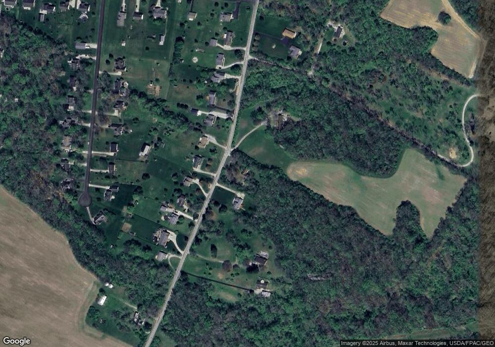
Map
Nearby Homes
- 9052 Wilson Rd
- 8648 Compton Rd
- 9500 Collett Rd Unit 20
- 8881 Route 42
- 8760 State Route 380
- 7364 Cook Jones Rd
- 5 Acres Mount Holly Rd
- 9 Cumberland Ct
- 7902 N US Rt 42
- 9161 Old Stage Rd
- 8519 Old Stage Rd
- 116 Maple St
- 9510 Bellbrook Rd
- 6329 State Route 380
- 196 Mound St
- 7219 N Us Rt 42
- 7219 U S 42
- 7219 N Route 42
- 0 Penewit Rd
- 10 Acres Penewit Rd
- 8880 Wilson Rd
- 8887 Wilson Rd
- 8861 Wilson Rd
- 8925 Wilson Rd
- 8947 Wilson Rd
- 8839 Wilson Rd
- 8961 Wilson Rd
- 8833 Wilson Rd
- 8800 Wilson Rd
- 8991 Wilson Rd
- 8799 Wilson Rd
- 8774 Wilson Rd
- 9017 Wilson Rd
- 8777 Wilson Rd
- 8884 Michaela Ln
- 8858 Michaela Ln
- 8906 Michaela Ln
- 8834 Michaela Ln
- 8928 Michaela Ln
- 9031 Wilson Rd