Estimated Value: $424,000 - $520,934
3
Beds
1
Bath
1,053
Sq Ft
$466/Sq Ft
Est. Value
About This Home
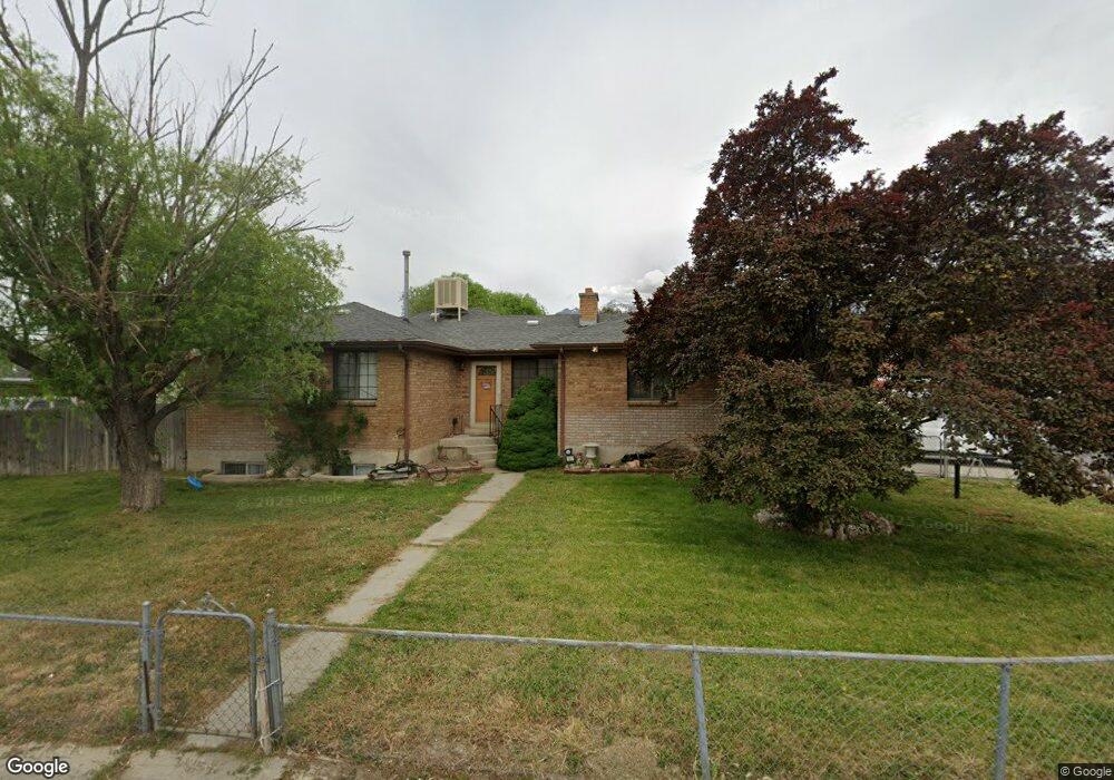
This home is located at 8909 S 540 E, Sandy, UT 84070 and is currently estimated at $490,984, approximately $466 per square foot. 8909 S 540 E is a home located in Salt Lake County with nearby schools including Sandy Elementary School, Mount Jordan Middle School, and Jordan High.
Ownership History
Date
Name
Owned For
Owner Type
Purchase Details
Closed on
Jan 11, 2018
Sold by
Malcolm Jeffrey D and Malcolm Mitzi L
Bought by
Malcolm Jeffrey D
Current Estimated Value
Home Financials for this Owner
Home Financials are based on the most recent Mortgage that was taken out on this home.
Original Mortgage
$30,000
Outstanding Balance
$21,172
Interest Rate
3.94%
Mortgage Type
Credit Line Revolving
Estimated Equity
$469,812
Create a Home Valuation Report for This Property
The Home Valuation Report is an in-depth analysis detailing your home's value as well as a comparison with similar homes in the area
Home Values in the Area
Average Home Value in this Area
Purchase History
| Date | Buyer | Sale Price | Title Company |
|---|---|---|---|
| Malcolm Jeffrey D | -- | First American Title Ins |
Source: Public Records
Mortgage History
| Date | Status | Borrower | Loan Amount |
|---|---|---|---|
| Open | Malcolm Jeffrey D | $30,000 |
Source: Public Records
Tax History
| Year | Tax Paid | Tax Assessment Tax Assessment Total Assessment is a certain percentage of the fair market value that is determined by local assessors to be the total taxable value of land and additions on the property. | Land | Improvement |
|---|---|---|---|---|
| 2025 | $2,583 | $482,500 | $130,600 | $351,900 |
| 2024 | $2,583 | $477,800 | $122,800 | $355,000 |
| 2023 | $2,502 | $461,300 | $116,700 | $344,600 |
| 2022 | $2,625 | $472,900 | $114,400 | $358,500 |
| 2021 | $2,367 | $363,000 | $99,500 | $263,500 |
| 2020 | $2,257 | $326,400 | $80,600 | $245,800 |
| 2019 | $2,228 | $313,900 | $80,600 | $233,300 |
| 2016 | $1,911 | $258,900 | $71,600 | $187,300 |
Source: Public Records
Map
Nearby Homes
- 8915 S 660 E Unit 103
- 8732 S 620 E
- 412 E 8760 S
- 627 E 8680 S
- 8797 Green Way Unit 3
- 8729 S Leafwood Ln
- 8722 S Oakwood Park Cir
- 8732 S Oakwood Park Cr
- 270 E 8680 S
- 362 E 9150 S
- 635 Pioneer Ave
- 807 E Whisper Cove Rd
- 487 E 9270 S
- 9092 Enchanted Oak Ln
- 8558 S Center St
- 8459 S 300 E
- 220 E Pioneer Ave
- 744 E 8425 S
- 194 Pioneer Ave
- 359 E 8400 S
- 8895 S 540 E
- 567 Mingo Park Dr
- 566 Locust St
- 8906 S 540 E
- 554 Mingo Park Dr
- 542 Mingo Park Dr
- 8894 S 540 E
- 568 Mingo Park Dr
- 578 Locust St
- 517 Mingo Park Dr
- 530 Mingo Park Dr
- 579 Mingo Park Dr
- 590 Locust St
- 8871 S 540 E
- 520 Locust St
- 520 E Locust St
- 505 E Mingo Park Dr
- 541 E Mingo View Ave
- 541 Mingo View Ave
- 553 Mingo View Ave
Your Personal Tour Guide
Ask me questions while you tour the home.