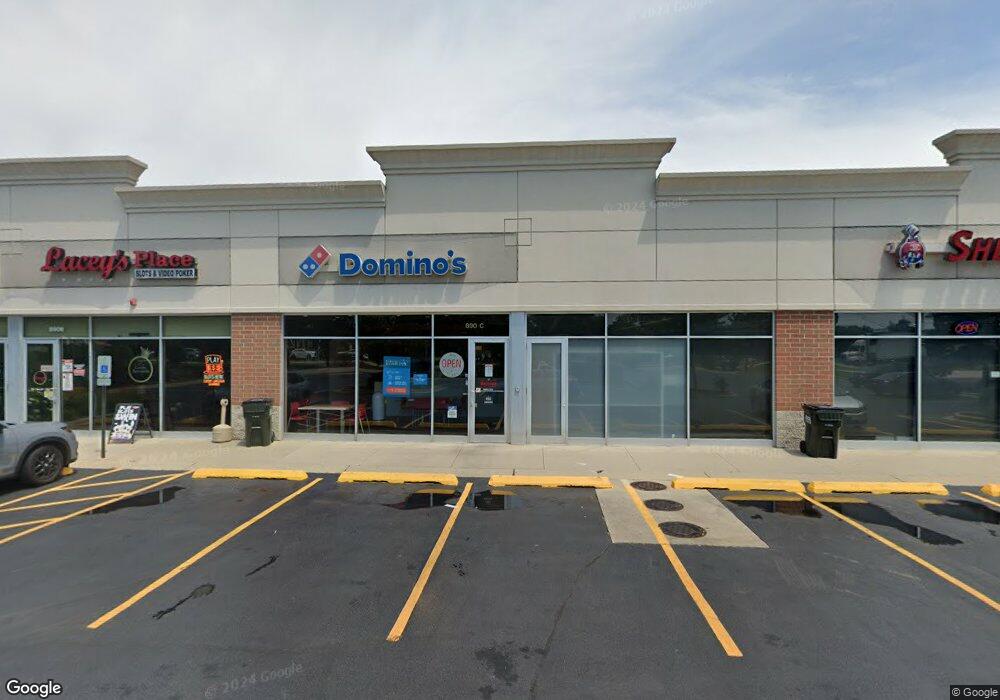
890a S Rand Rd Lake Zurich, IL 60047
Estimated Value: $3,110,174
--
Bed
--
Bath
--
Sq Ft
1.26
Acres
About This Home
This home is located at 890a S Rand Rd, Lake Zurich, IL 60047 and is currently estimated at $3,110,174. 890a S Rand Rd is a home located in Lake County with nearby schools including May Whitney Elementary School, Lake Zurich Middle School - South Campus, and Lake Zurich High School.
Ownership History
Date
Name
Owned For
Owner Type
Purchase Details
Closed on
Jan 19, 2018
Sold by
Jas Gc Ii Llc
Bought by
Rand Wolf Holdings Llc
Current Estimated Value
Home Financials for this Owner
Home Financials are based on the most recent Mortgage that was taken out on this home.
Original Mortgage
$1,500,000
Outstanding Balance
$1,265,498
Interest Rate
3.93%
Mortgage Type
Commercial
Estimated Equity
$1,844,676
Purchase Details
Closed on
Jun 25, 2003
Sold by
Vasilikos Stella and Tsichlis Kathryn
Bought by
Jas Gc Ii Llc
Create a Home Valuation Report for This Property
The Home Valuation Report is an in-depth analysis detailing your home's value as well as a comparison with similar homes in the area
Home Values in the Area
Average Home Value in this Area
Purchase History
| Date | Buyer | Sale Price | Title Company |
|---|---|---|---|
| Rand Wolf Holdings Llc | $2,000,000 | Chicago Title | |
| Jas Gc Ii Llc | $475,000 | First American Title |
Source: Public Records
Mortgage History
| Date | Status | Borrower | Loan Amount |
|---|---|---|---|
| Open | Rand Wolf Holdings Llc | $1,500,000 |
Source: Public Records
Tax History Compared to Growth
Tax History
| Year | Tax Paid | Tax Assessment Tax Assessment Total Assessment is a certain percentage of the fair market value that is determined by local assessors to be the total taxable value of land and additions on the property. | Land | Improvement |
|---|---|---|---|---|
| 2024 | $48,636 | $599,940 | $221,606 | $378,334 |
| 2023 | $47,765 | $618,244 | $215,654 | $402,590 |
| 2022 | $47,765 | $606,300 | $211,488 | $394,812 |
| 2021 | $46,168 | $590,763 | $206,068 | $384,695 |
| 2020 | $44,631 | $590,763 | $206,068 | $384,695 |
| 2019 | $44,631 | $585,609 | $204,270 | $381,339 |
| 2018 | $38,553 | $507,047 | $203,456 | $303,591 |
| 2017 | $38,301 | $500,936 | $201,004 | $299,932 |
| 2016 | $37,608 | $501,183 | $194,639 | $306,544 |
| 2015 | $38,400 | $477,362 | $185,388 | $291,974 |
| 2014 | $33,632 | $465,642 | $188,384 | $277,258 |
| 2012 | $31,953 | $414,335 | $188,780 | $225,555 |
Source: Public Records
Map
Nearby Homes
- 898 S Rand Rd
- 429 Grand Ave
- 21763 Deerpath Rd
- 600 Ivy Ct
- 461 N Newberry Ct
- 795 Harvest Dr
- 20992 W Preserve Dr
- 21742 N Ashley St
- 21186 W Preserve Dr
- 533 Surryse Rd
- 890 June Terrace Unit 140
- 21839 Cambridge Dr
- 155 Canterbury Way
- 77 Mionske Dr
- 54 Mionske Dr
- 27 Maple Ave
- 10 Pine Ave
- 1266 Thorndale Ln
- 22145 W White Pine Rd
- 24570 W Middle Fork Rd
- 890 S Rand Rd Unit A
- 890 S Rand Rd
- 439 Pheasant Ridge Rd
- 435 Pheasant Ridge Rd
- 431 Pheasant Ridge Rd
- 447 Pheasant Ridge Rd
- 427 Pheasant Ridge Rd
- 451 Pheasant Ridge Rd
- 423 Pheasant Ridge Rd
- 884 S Rand Rd Unit H
- 884 S Rand Rd
- 440 Pheasant Ridge Rd
- 444 Pheasant Ridge Rd
- 455 Pheasant Ridge Rd
- 436 Pheasant Ridge Rd
- 432 Pheasant Ridge Rd
- 419 Pheasant Ridge Rd
- 428 Pheasant Ridge Rd
- 448 Pheasant Ridge Rd
- 909 S Rand Rd