891 Baker Rd Haughton, LA 71037
Estimated Value: $142,070 - $223,000
2
Beds
1
Bath
965
Sq Ft
$191/Sq Ft
Est. Value
About This Home
This home is located at 891 Baker Rd, Haughton, LA 71037 and is currently estimated at $184,518, approximately $191 per square foot. 891 Baker Rd is a home located in Bossier Parish with nearby schools including T.L. Rodes Elementary School, Platt Elementary School, and Princeton Elementary School.
Ownership History
Date
Name
Owned For
Owner Type
Purchase Details
Closed on
Jul 20, 2012
Sold by
Wolfe Rickey Joe
Bought by
Jo Ann Properties Llc
Current Estimated Value
Purchase Details
Closed on
Jun 6, 2012
Sold by
Ferguson Christopher A
Bought by
Wolfe Rickey Joe
Purchase Details
Closed on
Feb 7, 2005
Sold by
Capella Melissa Ann
Bought by
Ferguson Christopher A
Home Financials for this Owner
Home Financials are based on the most recent Mortgage that was taken out on this home.
Original Mortgage
$79,748
Interest Rate
5.85%
Mortgage Type
Unknown
Create a Home Valuation Report for This Property
The Home Valuation Report is an in-depth analysis detailing your home's value as well as a comparison with similar homes in the area
Home Values in the Area
Average Home Value in this Area
Purchase History
| Date | Buyer | Sale Price | Title Company |
|---|---|---|---|
| Jo Ann Properties Llc | -- | First Commerce Title Inc | |
| Wolfe Rickey Joe | $88,000 | First Commerce Title Inc | |
| Ferguson Christopher A | $81,000 | None Available |
Source: Public Records
Mortgage History
| Date | Status | Borrower | Loan Amount |
|---|---|---|---|
| Previous Owner | Ferguson Christopher A | $79,748 |
Source: Public Records
Tax History Compared to Growth
Tax History
| Year | Tax Paid | Tax Assessment Tax Assessment Total Assessment is a certain percentage of the fair market value that is determined by local assessors to be the total taxable value of land and additions on the property. | Land | Improvement |
|---|---|---|---|---|
| 2024 | $1,113 | $9,498 | $320 | $9,178 |
| 2023 | $1,057 | $8,342 | $320 | $8,022 |
| 2022 | $1,051 | $8,342 | $320 | $8,022 |
| 2021 | $1,051 | $8,342 | $320 | $8,022 |
| 2020 | $1,051 | $8,342 | $320 | $8,022 |
| 2019 | $1,085 | $8,510 | $320 | $8,190 |
| 2018 | $1,085 | $8,510 | $320 | $8,190 |
| 2017 | $1,072 | $8,510 | $320 | $8,190 |
| 2016 | $1,072 | $8,510 | $320 | $8,190 |
| 2015 | $971 | $8,160 | $320 | $7,840 |
| 2014 | $971 | $8,160 | $320 | $7,840 |
Source: Public Records
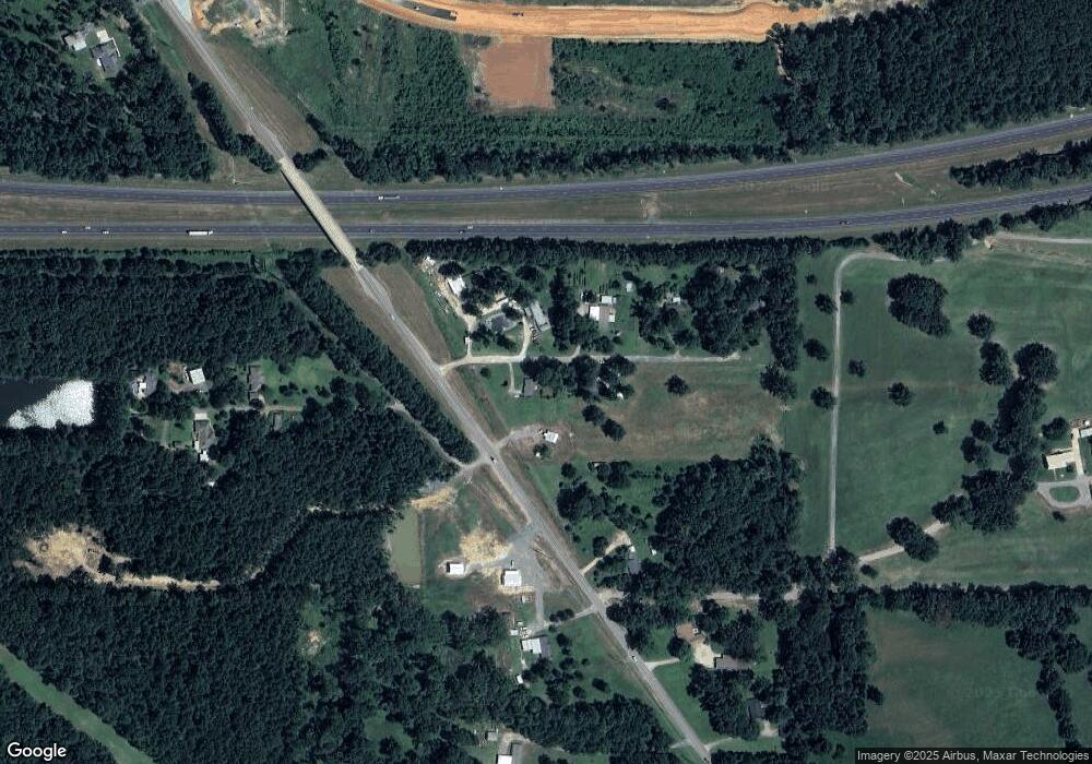
Map
Nearby Homes
- 150 Vienne Trace
- 156 Vienne Trace
- 137 Vienne Trace
- 147 Vienne Trace
- 158 Vienne Trace
- 418 Zinfandel Place
- 434 Zinfandel Place
- 426 Zinfandel Place
- 730 W Mckinley Ave
- 432 Red Oak Ln
- 312 N Elm St
- 0 Interstate 20
- 545 Timbers Dr E
- 0 Louisiana 157 Unit 20756085
- 490 Timbers Dr E
- 422 Zinfandel Place
- 609 Ives Way
- 409 Hummingbird Ln
- 309 W Mckinley Ave
- 321 Hummingbird Ln