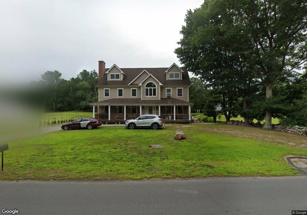
891 Fisher Rd North Dartmouth, MA 02747
Estimated Value: $749,000 - $796,000
4
Beds
4
Baths
2,780
Sq Ft
$276/Sq Ft
Est. Value
About This Home
This home is located at 891 Fisher Rd, North Dartmouth, MA 02747 and is currently estimated at $768,420, approximately $276 per square foot. 891 Fisher Rd is a home located in Bristol County with nearby schools including Dartmouth High School.
Ownership History
Date
Name
Owned For
Owner Type
Purchase Details
Closed on
Aug 6, 2025
Sold by
Dutton C R
Bought by
C Ray Dutton Lt and Dutton
Current Estimated Value
Purchase Details
Closed on
Aug 31, 2017
Sold by
Dutton Dutton C and Dutton Sharon
Bought by
Dutton C Ray
Purchase Details
Closed on
Dec 9, 2003
Sold by
Dutton Therese L
Bought by
Dutton C Ray C and Dutton Sharon
Create a Home Valuation Report for This Property
The Home Valuation Report is an in-depth analysis detailing your home's value as well as a comparison with similar homes in the area
Home Values in the Area
Average Home Value in this Area
Purchase History
| Date | Buyer | Sale Price | Title Company |
|---|---|---|---|
| C Ray Dutton Lt | -- | -- | |
| C Ray Dutton Lt | -- | -- | |
| Dutton C Ray | -- | -- | |
| Dutton C Ray | -- | -- | |
| Dutton C Ray C | $188,000 | -- | |
| Dutton C Ray C | $188,000 | -- |
Source: Public Records
Mortgage History
| Date | Status | Borrower | Loan Amount |
|---|---|---|---|
| Previous Owner | Dutton C Ray C | $30,000 | |
| Previous Owner | Dutton C Ray C | $304,000 | |
| Previous Owner | Dutton C Ray C | $30,000 | |
| Previous Owner | Dutton C Ray C | $220,000 |
Source: Public Records
Tax History Compared to Growth
Tax History
| Year | Tax Paid | Tax Assessment Tax Assessment Total Assessment is a certain percentage of the fair market value that is determined by local assessors to be the total taxable value of land and additions on the property. | Land | Improvement |
|---|---|---|---|---|
| 2025 | $6,015 | $652,400 | $182,200 | $470,200 |
| 2024 | $5,929 | $640,300 | $182,200 | $458,100 |
| 2023 | $6,040 | $610,100 | $182,200 | $427,900 |
| 2022 | $5,684 | $528,700 | $182,200 | $346,500 |
| 2021 | $5,698 | $512,400 | $177,100 | $335,300 |
| 2020 | $3,238 | $508,300 | $175,300 | $333,000 |
| 2019 | $5,456 | $489,300 | $168,200 | $321,100 |
| 2018 | $3,031 | $468,100 | $171,700 | $296,400 |
| 2017 | $4,883 | $448,800 | $158,800 | $290,000 |
| 2016 | $4,610 | $418,300 | $131,500 | $286,800 |
| 2015 | $4,538 | $412,500 | $122,700 | $289,800 |
| 2014 | $4,442 | $402,400 | $119,300 | $283,100 |
Source: Public Records
Map
Nearby Homes
- 27 Woodcock Rd
- 1150 Russells Mills Rd
- 2 Slades Farm Ln
- 4 Rileys Way
- 9 Division Rd
- 434 Gulf Rd W
- Lot 2E Horseneck Rd
- 248 Bakerville Rd
- 16 Gulf Hill Dr
- 61 Pardon Hill Rd
- 14 Westview Dr
- 1 Masthead Ln
- 10 Westview Dr
- 34 Country Way
- 17 Eighth Green Dr
- 75 Country Way Unit 75
- 99 Sylvia Ln
- 360 Russells Mills Rd
- Lot 1 Rafael Rd
- 47 Fallon Dr