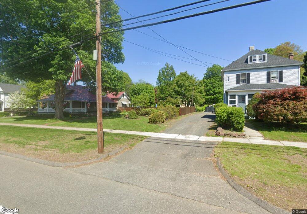
891 Main St Agawam, MA 01001
Estimated Value: $409,000 - $495,317
5
Beds
2
Baths
2,851
Sq Ft
$158/Sq Ft
Est. Value
About This Home
This home is located at 891 Main St, Agawam, MA 01001 and is currently estimated at $451,329, approximately $158 per square foot. 891 Main St is a home located in Hampden County with nearby schools including Agawam Junior High School, Agawam High School, and St Thomas The Apostle School.
Ownership History
Date
Name
Owned For
Owner Type
Purchase Details
Closed on
Jan 17, 1997
Sold by
Emc Mtg Corp
Bought by
Dobek Thaddeus C and Dobek Barbra E
Current Estimated Value
Purchase Details
Closed on
Mar 21, 1996
Sold by
Wood Donald H and Wood Alyce C
Bought by
Emc Mortgage Corp
Purchase Details
Closed on
Feb 23, 1993
Sold by
Wood Donald H
Bought by
Fleet Bk Ma
Purchase Details
Closed on
Feb 28, 1989
Sold by
Gallano Gertrude C
Bought by
Wood Donald H
Create a Home Valuation Report for This Property
The Home Valuation Report is an in-depth analysis detailing your home's value as well as a comparison with similar homes in the area
Home Values in the Area
Average Home Value in this Area
Purchase History
| Date | Buyer | Sale Price | Title Company |
|---|---|---|---|
| Dobek Thaddeus C | $132,500 | -- | |
| Emc Mortgage Corp | $105,825 | -- | |
| Fleet Bk Ma | $150,000 | -- | |
| Wood Donald H | $210,000 | -- |
Source: Public Records
Mortgage History
| Date | Status | Borrower | Loan Amount |
|---|---|---|---|
| Open | Wood Donald H | $192,000 | |
| Closed | Wood Donald H | $49,000 | |
| Closed | Wood Donald H | $93,600 |
Source: Public Records
Tax History Compared to Growth
Tax History
| Year | Tax Paid | Tax Assessment Tax Assessment Total Assessment is a certain percentage of the fair market value that is determined by local assessors to be the total taxable value of land and additions on the property. | Land | Improvement |
|---|---|---|---|---|
| 2025 | $5,994 | $409,400 | $115,900 | $293,500 |
| 2024 | $5,705 | $392,400 | $115,900 | $276,500 |
| 2023 | $5,237 | $331,900 | $95,400 | $236,500 |
| 2022 | $5,316 | $330,000 | $95,400 | $234,600 |
| 2021 | $4,996 | $297,400 | $83,600 | $213,800 |
| 2020 | $4,825 | $286,700 | $82,400 | $204,300 |
| 2019 | $4,619 | $277,400 | $80,700 | $196,700 |
| 2018 | $4,332 | $260,800 | $80,700 | $180,100 |
| 2017 | $0 | $236,600 | $86,200 | $150,400 |
| 2016 | $3,639 | $230,200 | $86,200 | $144,000 |
| 2015 | $3,639 | $224,500 | $86,200 | $138,300 |
Source: Public Records
Map
Nearby Homes
- 795 Main St
- 35 Birch Hill Rd
- 52 Peros Dr
- 68 Peros Dr
- 4H Mapleviewlane Unit 4H
- 23 Peros Dr
- 0 Silver St
- 13 Castle Hills Rd Unit B
- 36 Cottonwood Ln
- 7 Castle Hill Rd Unit G
- 15 B Castle Hills Rd Unit B
- 6 Castle Hill Rd Unit E
- 198 Beekman Dr
- 47 Butternut Dr
- 172 Beekman Dr Unit 172
- 174 Beekman Dr Unit 174
- 51 Merrell Dr
- 37 Corey Colonial
- 29 Plantation Dr Unit 29
- 72 Plantation Dr