Estimated Value: $176,000 - $199,654
3
Beds
1
Bath
1,237
Sq Ft
$154/Sq Ft
Est. Value
About This Home
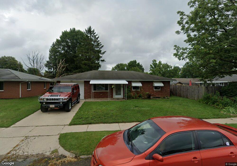
This home is located at 891 Moccasin Trail, Xenia, OH 45385 and is currently estimated at $190,164, approximately $153 per square foot. 891 Moccasin Trail is a home located in Greene County with nearby schools including Xenia High School, Summit Academy Community School for Alternative Learners - Xenia, and Legacy Christian Academy.
Ownership History
Date
Name
Owned For
Owner Type
Purchase Details
Closed on
Jun 24, 2022
Sold by
Lytle Teresa Lynne
Bought by
Lee Terry F
Current Estimated Value
Home Financials for this Owner
Home Financials are based on the most recent Mortgage that was taken out on this home.
Original Mortgage
$129,510
Outstanding Balance
$123,034
Interest Rate
5.09%
Mortgage Type
FHA
Estimated Equity
$67,130
Purchase Details
Closed on
Nov 20, 2000
Sold by
Bacon Maurice
Bought by
Lytle Teresa Lynne
Create a Home Valuation Report for This Property
The Home Valuation Report is an in-depth analysis detailing your home's value as well as a comparison with similar homes in the area
Home Values in the Area
Average Home Value in this Area
Purchase History
| Date | Buyer | Sale Price | Title Company |
|---|---|---|---|
| Lee Terry F | -- | None Listed On Document | |
| Lytle Teresa Lynne | $26,000 | -- | |
| Lytle Teresa Lynne | $26,000 | -- |
Source: Public Records
Mortgage History
| Date | Status | Borrower | Loan Amount |
|---|---|---|---|
| Open | Lee Terry F | $129,510 |
Source: Public Records
Tax History Compared to Growth
Tax History
| Year | Tax Paid | Tax Assessment Tax Assessment Total Assessment is a certain percentage of the fair market value that is determined by local assessors to be the total taxable value of land and additions on the property. | Land | Improvement |
|---|---|---|---|---|
| 2024 | $2,171 | $50,740 | $11,420 | $39,320 |
| 2023 | $2,171 | $50,740 | $11,420 | $39,320 |
| 2022 | $1,806 | $35,990 | $6,720 | $29,270 |
| 2021 | $1,830 | $35,990 | $6,720 | $29,270 |
| 2020 | $1,534 | $35,990 | $6,720 | $29,270 |
| 2019 | $1,534 | $29,640 | $6,320 | $23,320 |
| 2018 | $1,540 | $29,640 | $6,320 | $23,320 |
| 2017 | $1,495 | $29,640 | $6,320 | $23,320 |
| 2016 | $1,406 | $26,550 | $6,320 | $20,230 |
| 2015 | $1,409 | $26,550 | $6,320 | $20,230 |
| 2014 | -- | $26,550 | $6,320 | $20,230 |
Source: Public Records
Map
Nearby Homes
- 1208 Bellbrook Ave
- 1272 Bellbrook Ave
- 1144 Rockwell Dr
- 1618 Navajo Dr
- 1778 Arapaho Dr
- 1342 Kylemore Dr
- 1568 Cheyenne Dr
- 1653 Seneca Dr
- 1223 June Dr
- 1233 June Dr
- 1283 June Dr
- 1391 June Dr
- 1769 Gayhart Dr
- 1866 Roxbury Dr
- 1829 Gayhart Dr
- 305-325 Bellbrook Ave
- 1908 Whitt St
- 523 Newport Rd
- 121 S Progress Dr
- 2758 Wyoming Dr
- 879 Moccasin Trail
- 1490 Arrowhead Trail
- 1478 Arrowhead Trail
- 865 Moccasin Trail
- 1462 Arrowhead Trail
- 884 Buckskin Trail
- 874 Buckskin Trail
- 1514 Arrowhead Trail
- 860 Buckskin Trail
- 1454 Arrowhead Trail
- 882 Moccasin Trail
- 851 Moccasin Trail
- 868 Moccasin Trail
- 1526 Arrowhead Trail
- 846 Buckskin Trail
- 1491 Arrowhead Trail
- 856 Moccasin Trail
- 1479 Arrowhead Trail
- 839 Moccasin Trail
- 1463 Arrowhead Trail