891 Sunset Rd Canton, PA 17724
Estimated Value: $192,000 - $347,373
--
Bed
6
Baths
--
Sq Ft
9.25
Acres
About This Home
This home is located at 891 Sunset Rd, Canton, PA 17724 and is currently estimated at $246,343. 891 Sunset Rd is a home located in Bradford County with nearby schools including Canton Area Elementary School and Canton Junior/Senior High School.
Ownership History
Date
Name
Owned For
Owner Type
Purchase Details
Closed on
Dec 11, 2020
Sold by
Schwartz Samuel A and Schwartz Judy R
Bought by
Schwartz Abraham and Schwartz Laura M
Current Estimated Value
Home Financials for this Owner
Home Financials are based on the most recent Mortgage that was taken out on this home.
Original Mortgage
$165,000
Interest Rate
4%
Mortgage Type
New Conventional
Create a Home Valuation Report for This Property
The Home Valuation Report is an in-depth analysis detailing your home's value as well as a comparison with similar homes in the area
Home Values in the Area
Average Home Value in this Area
Purchase History
| Date | Buyer | Sale Price | Title Company |
|---|---|---|---|
| Schwartz Abraham | -- | None Available |
Source: Public Records
Mortgage History
| Date | Status | Borrower | Loan Amount |
|---|---|---|---|
| Closed | Schwartz Abraham | $165,000 |
Source: Public Records
Tax History Compared to Growth
Tax History
| Year | Tax Paid | Tax Assessment Tax Assessment Total Assessment is a certain percentage of the fair market value that is determined by local assessors to be the total taxable value of land and additions on the property. | Land | Improvement |
|---|---|---|---|---|
| 2025 | $4,089 | $73,700 | $0 | $0 |
| 2024 | $3,929 | $73,700 | $0 | $0 |
| 2023 | $3,929 | $73,700 | $0 | $0 |
| 2022 | $3,886 | $73,700 | $0 | $0 |
| 2021 | $3,887 | $73,700 | $0 | $0 |
| 2020 | $2,905 | $55,700 | $0 | $0 |
| 2019 | $2,902 | $55,700 | $0 | $0 |
| 2018 | $2,777 | $55,700 | $0 | $0 |
| 2017 | $2,740 | $55,700 | $0 | $0 |
| 2016 | -- | $55,700 | $0 | $0 |
| 2015 | -- | $55,700 | $0 | $0 |
| 2014 | $1,383 | $53,500 | $0 | $0 |
Source: Public Records
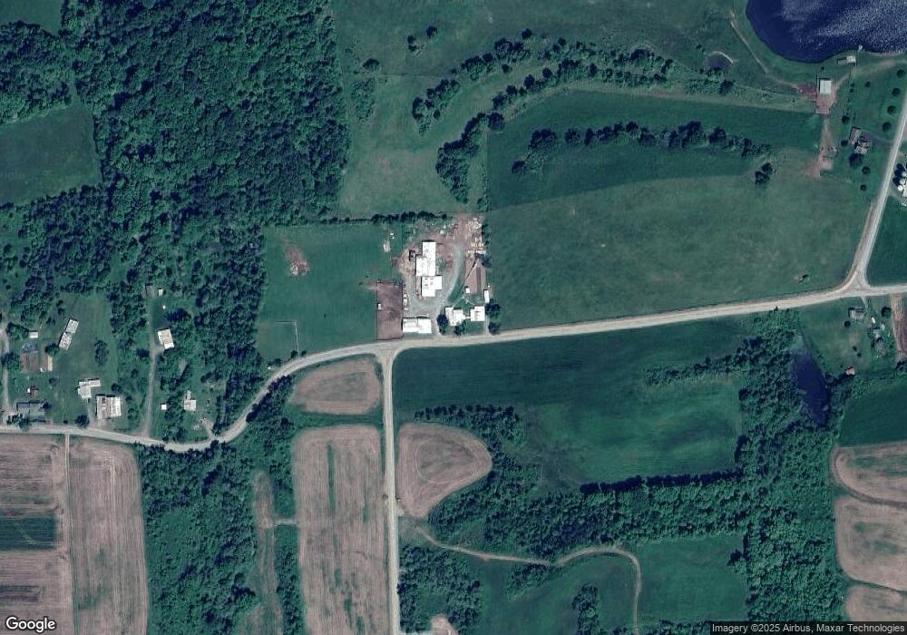
Map
Nearby Homes
- 63 Brann St
- 118 E South Ave
- 374 S Minnequa Ave
- 108 S Washington St
- 85 N Minnequa Ave
- 94 N Center St
- 49-51 T-329
- 127 Troy St
- 290 Troy St
- 386 Troy St
- 55 Clinton St
- 0 Upper Mountain Rd
- Upper Mountain Rd Lot Unit WP001
- 19 Lovell Ln
- 7129 Route 14
- 76 Highlands Ln
- 1616 W Union St
- 1616 W Union Rd
- 114 Glory Ridge Rd
- PARCEL 030 Glory Ridge Rd
- 689 Sunset Rd Unit 735
- 689 Sunset Rd
- 1810 Williams Hollow Rd
- 1154 Sunset Rd
- 563 Sunset Rd
- 350 John Deere Ln
- 1360 Sunset Rd
- 1522 Williams Hollow Rd
- 429 Ward Hill Rd
- 1426 Beech Flats Rd
- 1170 Beech Flats Rd
- 1440 Beech Flats Rd
- 327 Sunset Rd
- 448 Ward Hill Rd
- 1024 Beech Flats Rd
- 1171 Beech Flats Rd
- 975 Beech Flats Rd
- 953 Beech Flats Rd
- 238 Sunset Rd
- 1736 Beech Flats Rd