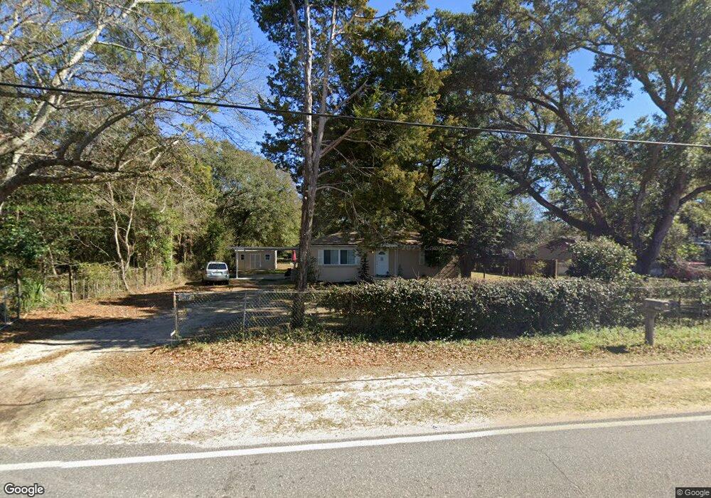
8910 Chemstrand Rd Pensacola, FL 32514
Estimated Value: $97,000 - $137,622
--
Bed
1
Bath
1,025
Sq Ft
$118/Sq Ft
Est. Value
About This Home
This home is located at 8910 Chemstrand Rd, Pensacola, FL 32514 and is currently estimated at $120,906, approximately $117 per square foot. 8910 Chemstrand Rd is a home located in Escambia County with nearby schools including L.D. McArthur Elementary School, Ferry Pass Middle School, and Pine Forest High School.
Ownership History
Date
Name
Owned For
Owner Type
Purchase Details
Closed on
Oct 30, 2015
Sold by
Turberville Julie M
Bought by
Eisinger John and Eisinger Myrl
Current Estimated Value
Purchase Details
Closed on
May 18, 2001
Sold by
Cox Cory Thomas
Bought by
Turberville John J and Turberville Julie M
Home Financials for this Owner
Home Financials are based on the most recent Mortgage that was taken out on this home.
Original Mortgage
$54,546
Interest Rate
7.11%
Mortgage Type
FHA
Create a Home Valuation Report for This Property
The Home Valuation Report is an in-depth analysis detailing your home's value as well as a comparison with similar homes in the area
Home Values in the Area
Average Home Value in this Area
Purchase History
| Date | Buyer | Sale Price | Title Company |
|---|---|---|---|
| Eisinger John | $36,500 | Surety Land Title Of Fl Llc | |
| Turberville John J | $55,000 | -- |
Source: Public Records
Mortgage History
| Date | Status | Borrower | Loan Amount |
|---|---|---|---|
| Previous Owner | Turberville John J | $54,546 |
Source: Public Records
Tax History Compared to Growth
Tax History
| Year | Tax Paid | Tax Assessment Tax Assessment Total Assessment is a certain percentage of the fair market value that is determined by local assessors to be the total taxable value of land and additions on the property. | Land | Improvement |
|---|---|---|---|---|
| 2024 | $511 | $59,831 | -- | -- |
| 2023 | $511 | $58,089 | $0 | $0 |
| 2022 | $539 | $56,398 | $0 | $0 |
| 2021 | $530 | $54,756 | $0 | $0 |
| 2020 | $513 | $54,000 | $0 | $0 |
| 2019 | $500 | $52,786 | $0 | $0 |
| 2018 | $494 | $51,802 | $0 | $0 |
| 2017 | $489 | $50,737 | $0 | $0 |
| 2016 | $487 | $49,694 | $0 | $0 |
| 2015 | $804 | $47,557 | $0 | $0 |
| 2014 | $768 | $45,470 | $0 | $0 |
Source: Public Records
Map
Nearby Homes
- 111 Sabrina Dr
- 8916 Chemstrand Rd Unit 19
- 8652 Handicare St
- 8901 Bellawood Cir
- 8923 Bellawood Cir
- 8781 Sonnyboy Ln
- 8332 Vickie St
- 9024 N Palafox St
- 21 W Detroit Blvd
- 8531 Sonnyboy Ln
- 130 E Nine Mile Rd Unit 5-8
- 8351 Dudley Ave
- 8825 Airway Dr
- 8821 Airway Dr
- 8300 Vickie St
- 9000 Airway Dr
- 9440 Hummingbird Blvd
- 8418 Cherry Ave
- 8422 Cherry Ave
- 9901 Monet Way
- 8910 Chemstrand Rd
- 8904 Chemstrand Rd
- 206 Barker St
- 8900 Chemstrand Rd
- 190 Polo Terrace
- 212 Barker St
- 8813 Chemstrand Rd
- 198 Polo Terrace
- 186 Polo Terrace
- 194 Polo Terrace
- 8914 Chemstrand Rd
- 0 Vera St
- 208 Barker St
- 182 Polo Terrace
- 8815 Chemstrand Rd
- 205 Barker St
- 181 Beland Rd
- 210 Barker St
- 8901 Chemstrand Rd
- 171 Beland Rd