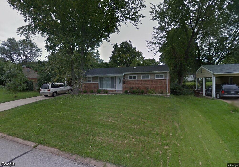
8910 Comstock Dr Saint Louis, MO 63132
Estimated Value: $273,543 - $394,000
3
Beds
2
Baths
1,150
Sq Ft
$280/Sq Ft
Est. Value
About This Home
This home is located at 8910 Comstock Dr, Saint Louis, MO 63132 and is currently estimated at $321,636, approximately $279 per square foot. 8910 Comstock Dr is a home located in St. Louis County with nearby schools including Reed Elementary, Ladue 5th Grade Center, and Ladue Middle School.
Ownership History
Date
Name
Owned For
Owner Type
Purchase Details
Closed on
Apr 30, 2014
Sold by
Tang Betty
Bought by
Lin Yue Fang and Xue Shao Wen
Current Estimated Value
Home Financials for this Owner
Home Financials are based on the most recent Mortgage that was taken out on this home.
Original Mortgage
$125,000
Outstanding Balance
$114,597
Interest Rate
12%
Mortgage Type
Seller Take Back
Estimated Equity
$207,039
Purchase Details
Closed on
Sep 22, 2009
Sold by
Nationstar Mortgage Llc
Bought by
Tang Betty
Purchase Details
Closed on
Jun 15, 2009
Sold by
Gordon Robert
Bought by
Nationstar Mortgage Llc
Purchase Details
Closed on
Jul 8, 2005
Sold by
Gordon Robert and Gordon Gisela
Bought by
Gordon Robert
Home Financials for this Owner
Home Financials are based on the most recent Mortgage that was taken out on this home.
Original Mortgage
$132,260
Interest Rate
8.12%
Mortgage Type
Stand Alone Refi Refinance Of Original Loan
Create a Home Valuation Report for This Property
The Home Valuation Report is an in-depth analysis detailing your home's value as well as a comparison with similar homes in the area
Home Values in the Area
Average Home Value in this Area
Purchase History
| Date | Buyer | Sale Price | Title Company |
|---|---|---|---|
| Lin Yue Fang | $160,000 | Integrity Title Solutions Ll | |
| Tang Betty | $90,000 | None Available | |
| Nationstar Mortgage Llc | $143,972 | None Available | |
| Gordon Robert | -- | -- |
Source: Public Records
Mortgage History
| Date | Status | Borrower | Loan Amount |
|---|---|---|---|
| Open | Lin Yue Fang | $125,000 | |
| Previous Owner | Gordon Robert | $132,260 |
Source: Public Records
Tax History
| Year | Tax Paid | Tax Assessment Tax Assessment Total Assessment is a certain percentage of the fair market value that is determined by local assessors to be the total taxable value of land and additions on the property. | Land | Improvement |
|---|---|---|---|---|
| 2025 | $3,186 | $48,300 | $34,730 | $13,570 |
| 2024 | $3,186 | $44,900 | $25,630 | $19,270 |
| 2023 | $3,222 | $44,900 | $25,630 | $19,270 |
| 2022 | $2,765 | $37,110 | $25,630 | $11,480 |
| 2021 | $2,749 | $37,110 | $25,630 | $11,480 |
| 2020 | $2,939 | $39,280 | $12,640 | $26,640 |
| 2019 | $2,846 | $39,280 | $12,640 | $26,640 |
| 2018 | $2,290 | $29,070 | $10,410 | $18,660 |
| 2017 | $2,282 | $29,070 | $10,410 | $18,660 |
| 2016 | $2,496 | $30,840 | $10,410 | $20,430 |
Source: Public Records
Map
Nearby Homes
- 1123 Hilltop Dr
- 1022 Dolores Ave
- 8637 Mayflower Ct
- 7 E Villa Ave
- 1193 Noa Ln Unit 30
- 9409 Olie Way Rd Unit 27
- 1181 Rd Unit 33
- 9401 Olie Way Rd Unit 30
- 1185 Noa Lane Rd Unit 32
- 1189 Noa Lane Rd Unit 31
- 9425 Olie Way Rd Unit 29
- 8362 Braddock Dr
- 727 Wayfield Dr
- 8249 Appleton Dr
- 1432 Tamerton Ave
- 8631 Old Bonhomme Rd Unit 1E
- 1947 Spencer Ave
- 9608 Miriam Ave
- 9112 Watsonia Ct
- 31 Bon Hills Dr
- 8916 Comstock Dr
- 8900 Comstock Dr
- 1259 Hilltop Dr
- 8911 Comanche Dr
- 8917 Comanche Dr
- 8922 Comstock Dr
- 8915 Comstock Dr
- 8901 Comanche Dr
- 8909 Comstock Dr
- 8921 Comstock Dr
- 8923 Comanche Dr
- 8901 Comstock Dr
- 8926 Comstock Dr
- 8927 Comstock Dr
- 8929 Comanche Dr
- 8914 Chickasaw Dr
- 8908 Chickasaw Dr
- 8815 Comanche Ct
- 8900 Comanche Dr
- 8814 Comstock Ct
Your Personal Tour Guide
Ask me questions while you tour the home.