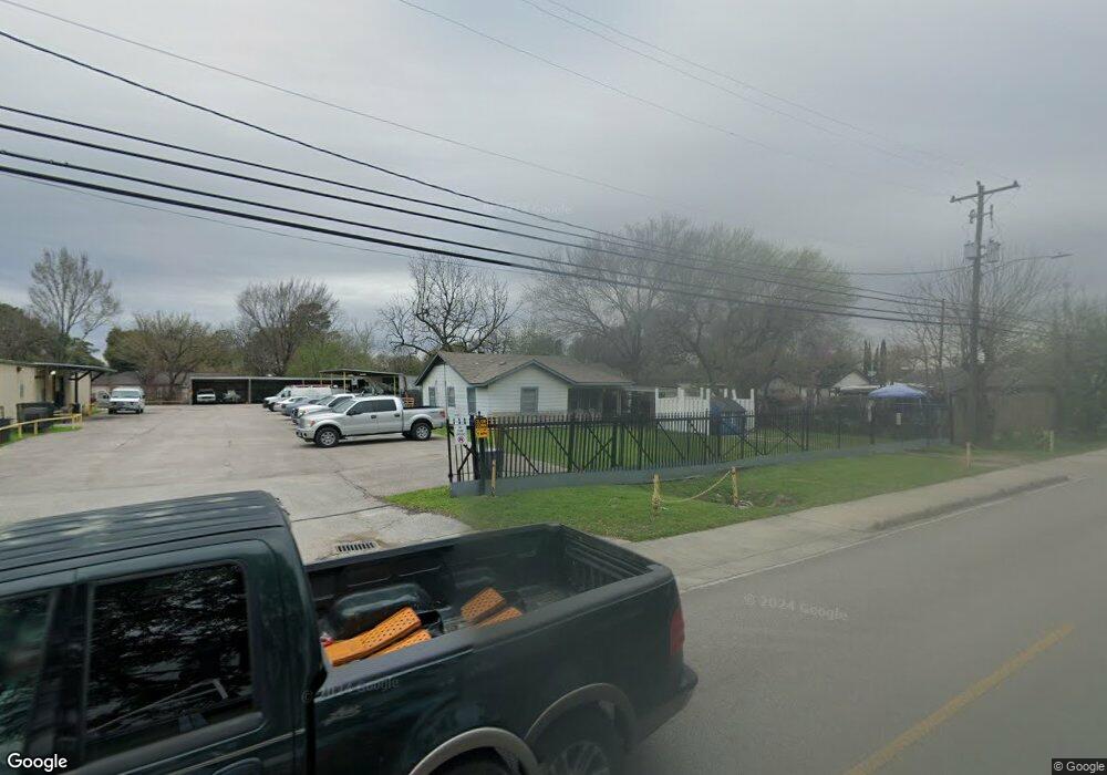
8911 Bauman Rd Houston, TX 77022
Northside-Northline NeighborhoodEstimated Value: $216,848 - $323,000
--
Bed
1
Bath
6,400
Sq Ft
$40/Sq Ft
Est. Value
About This Home
This home is located at 8911 Bauman Rd, Houston, TX 77022 and is currently estimated at $258,616, approximately $40 per square foot. 8911 Bauman Rd is a home located in Harris County with nearby schools including Burbank Elementary School, Burbank Middle School, and Sam Houston Math, Science & Technology Center.
Ownership History
Date
Name
Owned For
Owner Type
Purchase Details
Closed on
Mar 13, 2007
Sold by
Daryl B Alston Trust
Bought by
Miller Anthony M and Miller Karen
Current Estimated Value
Home Financials for this Owner
Home Financials are based on the most recent Mortgage that was taken out on this home.
Original Mortgage
$280,000
Outstanding Balance
$170,036
Interest Rate
6.32%
Mortgage Type
Purchase Money Mortgage
Estimated Equity
$88,580
Create a Home Valuation Report for This Property
The Home Valuation Report is an in-depth analysis detailing your home's value as well as a comparison with similar homes in the area
Home Values in the Area
Average Home Value in this Area
Purchase History
| Date | Buyer | Sale Price | Title Company |
|---|---|---|---|
| Miller Anthony M | -- | Stewart Title Houston |
Source: Public Records
Mortgage History
| Date | Status | Borrower | Loan Amount |
|---|---|---|---|
| Open | Miller Anthony M | $280,000 |
Source: Public Records
Tax History Compared to Growth
Tax History
| Year | Tax Paid | Tax Assessment Tax Assessment Total Assessment is a certain percentage of the fair market value that is determined by local assessors to be the total taxable value of land and additions on the property. | Land | Improvement |
|---|---|---|---|---|
| 2025 | $9,208 | $443,241 | $107,745 | $335,496 |
| 2024 | $9,208 | $427,108 | $107,745 | $319,363 |
| 2023 | $9,208 | $488,796 | $100,562 | $388,234 |
| 2022 | $8,696 | $355,368 | $100,562 | $254,806 |
| 2021 | $8,590 | $368,558 | $100,562 | $267,996 |
| 2020 | $7,071 | $291,982 | $50,281 | $241,701 |
| 2019 | $5,158 | $203,836 | $50,281 | $153,555 |
| 2018 | $5,304 | $235,738 | $50,281 | $185,457 |
| 2017 | $5,551 | $235,427 | $50,281 | $185,146 |
| 2016 | $5,339 | $226,833 | $43,098 | $183,735 |
| 2015 | $196 | $218,069 | $43,092 | $174,977 |
| 2014 | $196 | $195,970 | $43,092 | $152,878 |
Source: Public Records
Map
Nearby Homes
- 216 Burress St
- 253 De Boll St
- 249 De Boll St
- 132 Grothe Ln
- 108 Fichter St
- 318 Charlock St
- 9026 Mcgallion Rd
- 411 Berry Rd
- 90 Burress St Unit B
- 90 Burress St Unit A
- 88 Berry Rd
- 61 Trenwood Ln
- 702 Pennington St
- 70 Burress St
- 8205 Appleton St
- 235 Julia St Unit B
- 807 Firnat St
- 56 Wellford St
- 723 Doverside St
- 202 Burbank St