8912 Gentry Rd Concord, NC 28027
Estimated Value: $531,000 - $667,000
3
Beds
3
Baths
2,550
Sq Ft
$235/Sq Ft
Est. Value
About This Home
This home is located at 8912 Gentry Rd, Concord, NC 28027 and is currently estimated at $599,726, approximately $235 per square foot. 8912 Gentry Rd is a home located in Cabarrus County with nearby schools including Charles E. Boger Elementary School, Northwest Cabarrus Middle School, and Northwest Cabarrus High.
Ownership History
Date
Name
Owned For
Owner Type
Purchase Details
Closed on
Feb 5, 2004
Sold by
Smith Morris D and Smith Pamela P
Bought by
Kester H David and Kester Amy Elizabeth
Current Estimated Value
Home Financials for this Owner
Home Financials are based on the most recent Mortgage that was taken out on this home.
Original Mortgage
$205,600
Outstanding Balance
$96,024
Interest Rate
5.77%
Mortgage Type
Purchase Money Mortgage
Estimated Equity
$503,702
Purchase Details
Closed on
Dec 1, 1997
Bought by
Smith Morris D and Wife Pamala P
Create a Home Valuation Report for This Property
The Home Valuation Report is an in-depth analysis detailing your home's value as well as a comparison with similar homes in the area
Home Values in the Area
Average Home Value in this Area
Purchase History
| Date | Buyer | Sale Price | Title Company |
|---|---|---|---|
| Kester H David | $257,000 | -- | |
| Smith Morris D | $228,500 | -- |
Source: Public Records
Mortgage History
| Date | Status | Borrower | Loan Amount |
|---|---|---|---|
| Open | Kester H David | $205,600 | |
| Closed | Kester H David | $38,550 |
Source: Public Records
Tax History
| Year | Tax Paid | Tax Assessment Tax Assessment Total Assessment is a certain percentage of the fair market value that is determined by local assessors to be the total taxable value of land and additions on the property. | Land | Improvement |
|---|---|---|---|---|
| 2025 | $3,290 | $518,110 | $105,660 | $412,450 |
| 2024 | $3,290 | $518,110 | $105,660 | $412,450 |
| 2023 | $2,832 | $350,450 | $83,900 | $266,550 |
| 2022 | $2,832 | $350,450 | $83,900 | $266,550 |
| 2021 | $2,832 | $350,450 | $83,900 | $266,550 |
| 2020 | $2,832 | $350,450 | $83,900 | $266,550 |
| 2019 | $2,456 | $303,930 | $49,720 | $254,210 |
| 2018 | $2,395 | $303,930 | $49,720 | $254,210 |
| 2017 | $2,334 | $303,930 | $49,720 | $254,210 |
| 2016 | $2,334 | $304,300 | $49,500 | $254,800 |
| 2015 | $2,307 | $304,300 | $49,500 | $254,800 |
| 2014 | $2,307 | $304,300 | $49,500 | $254,800 |
Source: Public Records
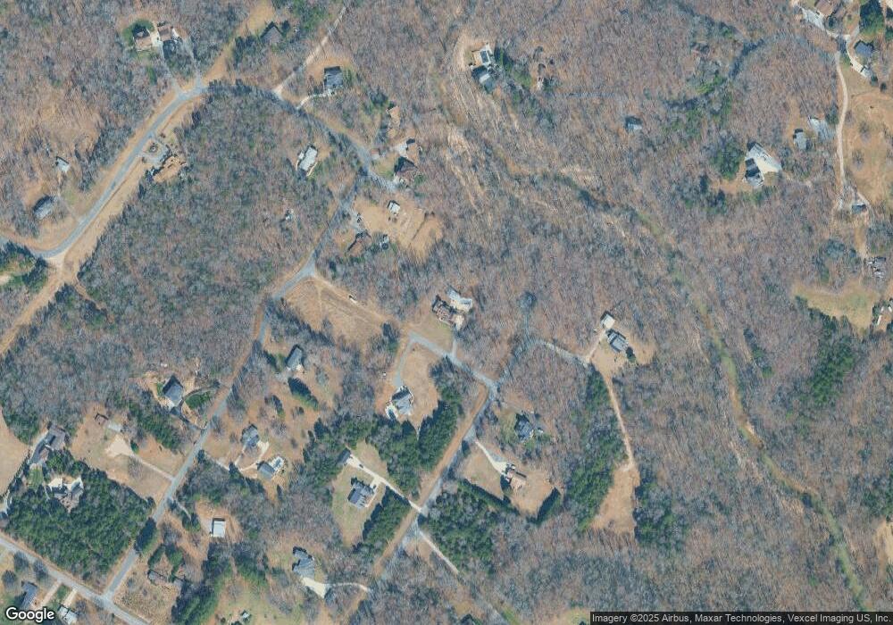
Map
Nearby Homes
- 4650 Windy Rd
- 9665 Autumn Cir
- 8815 Columbus St
- 9730 Harvest Ln
- 10372 Turnplow Dr
- 6722 Fox Ridge Cir Unit 56
- 160 Arrow Point Ln
- 9870 Harvest Ln
- 15.009 Acres Archer Rd
- 860 Arrow Point Ln
- 1024 Rogue Ct
- 7440 Tuckaseegee Rd
- 6872 Buttercup Ln
- 10150 Enclave Cir
- 8485 Dogwood Dr
- 10158 Enclave Cir
- 3322 Helmsley Ct
- 8282 Park Edwards Rd
- 3205 Helmsley Ct
- 3181 Helmsley Ct
- 5406 Sheridan Dr
- 8821 Saxon Ct
- 5314 Sheridan Dr
- 0 Sandburg Dr
- 5500 Sheridan Dr
- 8820 Saxon Ct
- 5212 Norwood Rd
- 8803 Saxon Ct
- 5405 Sheridan Dr
- 5411 Sheridan Dr
- 9006 Sandburg Dr
- 5120 Norwood Dr
- 5307 Sheridan Dr
- 0 Sheridan Dr Unit 75
- 8809 Saxon Ct
- 5300 Sheridan Dr
- 8813 Yesteryear Trail
- 8715 Yesteryear Trail
- 5301 Sheridan Dr
- 8822 Yesteryear Trail
Your Personal Tour Guide
Ask me questions while you tour the home.