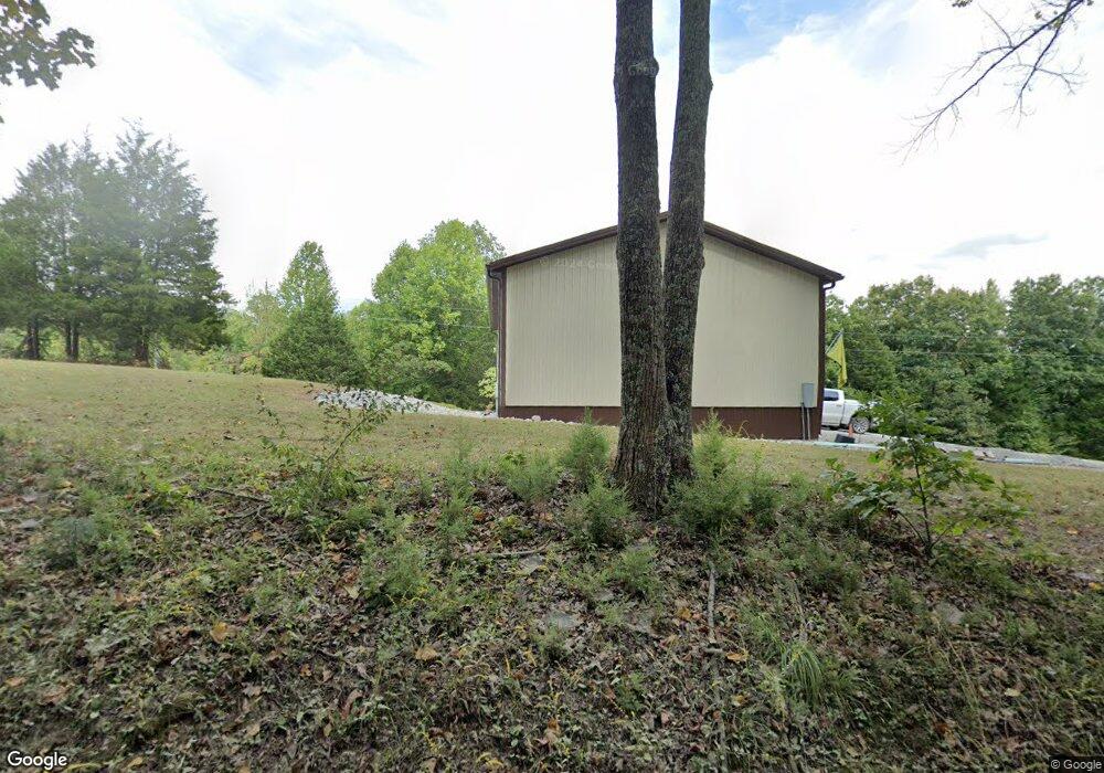
8913 Buffalo Pike Freetown, IN 47235
Estimated Value: $410,250 - $569,000
3
Beds
2
Baths
1,744
Sq Ft
$277/Sq Ft
Est. Value
About This Home
This home is located at 8913 Buffalo Pike, Freetown, IN 47235 and is currently estimated at $483,813, approximately $277 per square foot. 8913 Buffalo Pike is a home located in Brown County with nearby schools including Brown County High School.
Ownership History
Date
Name
Owned For
Owner Type
Purchase Details
Closed on
Feb 18, 2015
Sold by
Fannie Mae
Bought by
Ryan David L
Current Estimated Value
Home Financials for this Owner
Home Financials are based on the most recent Mortgage that was taken out on this home.
Original Mortgage
$111,100
Interest Rate
3.73%
Mortgage Type
New Conventional
Purchase Details
Closed on
Aug 14, 2014
Sold by
Followell Rick
Bought by
Federal National Mortgage Association
Create a Home Valuation Report for This Property
The Home Valuation Report is an in-depth analysis detailing your home's value as well as a comparison with similar homes in the area
Home Values in the Area
Average Home Value in this Area
Purchase History
| Date | Buyer | Sale Price | Title Company |
|---|---|---|---|
| Ryan David L | -- | Statewide Title Company Inc | |
| Federal National Mortgage Association | $195,870 | -- |
Source: Public Records
Mortgage History
| Date | Status | Borrower | Loan Amount |
|---|---|---|---|
| Previous Owner | Ryan David L | $111,100 |
Source: Public Records
Tax History Compared to Growth
Tax History
| Year | Tax Paid | Tax Assessment Tax Assessment Total Assessment is a certain percentage of the fair market value that is determined by local assessors to be the total taxable value of land and additions on the property. | Land | Improvement |
|---|---|---|---|---|
| 2024 | $849 | $253,600 | $40,700 | $212,900 |
| 2023 | $835 | $234,000 | $34,700 | $199,300 |
| 2022 | $784 | $225,700 | $28,800 | $196,900 |
| 2021 | $713 | $196,000 | $28,200 | $167,800 |
| 2020 | $577 | $179,200 | $20,700 | $158,500 |
| 2019 | $462 | $150,800 | $21,400 | $129,400 |
| 2018 | $571 | $149,000 | $21,500 | $127,500 |
| 2017 | $546 | $140,400 | $22,100 | $118,300 |
| 2016 | $484 | $135,900 | $22,400 | $113,500 |
| 2014 | -- | $129,600 | $22,600 | $107,000 |
| 2013 | -- | $126,600 | $21,900 | $104,700 |
Source: Public Records
Map
Nearby Homes
- 9601 Buffalo Pike
- 8650 Mount Nebo Rd
- 11000 N County Road 650 W
- 7932 S Mount Nebo Rd
- 7693 S Bob Allen Rd
- 7275 Hamilton Creek Rd
- 7594 W County Road 925 N
- XXXX Keith Donaldson Rd
- 9649 N County Road 450 W
- 2000 Block W 1125 N
- 784 Combs Rd
- 6913 Poplar Grove Rd
- 6985 Poplar Grove Rd
- 90 Elkinsville Rd
- 00 Lutheran Lake Rd
- 3000 W Block Co Rd 900 N
- 6947 Poplar Grove Rd
- 4410 State Rd 135
- 6873 Poplar Grove Rd
- 5217 Bellsville Pike
- 8913 Buffalo Pike
- 9347 Buffalo Pike
- 9347 S Buffalo Pike
- 9453 S Buffalo Pike
- 9278 Houston Rd
- 8700 Mount Nebo Rd
- 9804 Buffalo Pike
- 9884 Buffalo Pike
- 9884 S Buffalo Pike
- 7922 Mount Nebo Rd
- 00000 Buffalo Pike
- 0000 Buffalo Pike
- 0 Buffalo Pike
- 00 Buffalo Pike
- 0 Buffalo Pike Unit MBR9996027S
- 0 Buffalo Pike Unit MBR9915776
- 0 Buffalo Pike Unit MBR21138427
- 0 Buffalo Pike Unit 21490988
- 0 Buffalo Pike Unit 21592307