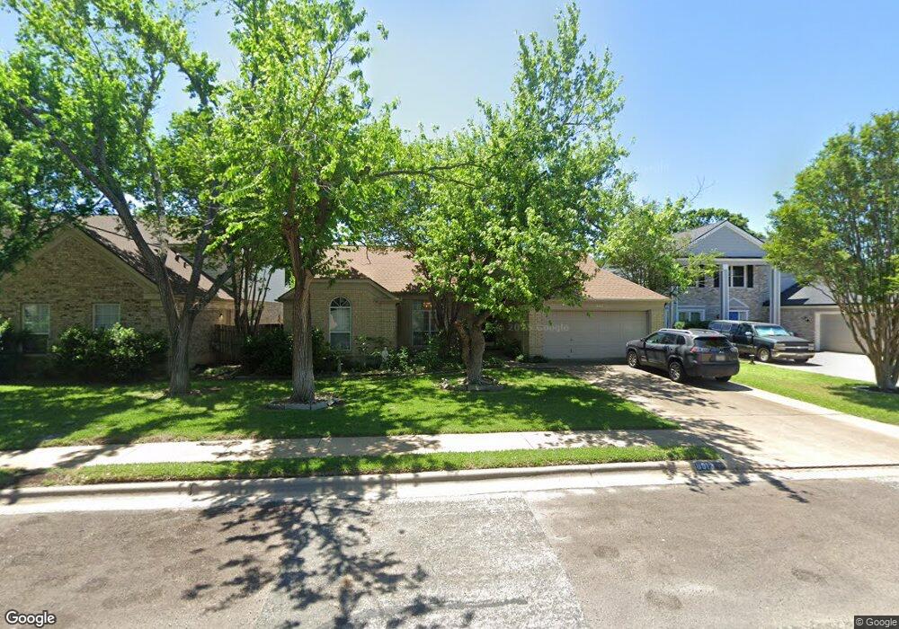
8913 Sharpstone Trail Austin, TX 78717
Brushy Creek NeighborhoodEstimated Value: $421,254 - $480,000
3
Beds
2
Baths
1,597
Sq Ft
$279/Sq Ft
Est. Value
About This Home
This home is located at 8913 Sharpstone Trail, Austin, TX 78717 and is currently estimated at $445,064, approximately $278 per square foot. 8913 Sharpstone Trail is a home located in Williamson County with nearby schools including Great Oaks Elementary School, Cedar Valley Middle School, and Round Rock High School.
Ownership History
Date
Name
Owned For
Owner Type
Purchase Details
Closed on
Feb 9, 2024
Sold by
Perry Karen A
Bought by
Perry Karen A and Perry Sean G
Current Estimated Value
Home Financials for this Owner
Home Financials are based on the most recent Mortgage that was taken out on this home.
Original Mortgage
$204,000
Outstanding Balance
$200,402
Interest Rate
6.62%
Mortgage Type
Credit Line Revolving
Estimated Equity
$244,662
Create a Home Valuation Report for This Property
The Home Valuation Report is an in-depth analysis detailing your home's value as well as a comparison with similar homes in the area
Home Values in the Area
Average Home Value in this Area
Purchase History
| Date | Buyer | Sale Price | Title Company |
|---|---|---|---|
| Perry Karen A | -- | None Listed On Document |
Source: Public Records
Mortgage History
| Date | Status | Borrower | Loan Amount |
|---|---|---|---|
| Open | Perry Karen A | $204,000 |
Source: Public Records
Tax History
| Year | Tax Paid | Tax Assessment Tax Assessment Total Assessment is a certain percentage of the fair market value that is determined by local assessors to be the total taxable value of land and additions on the property. | Land | Improvement |
|---|---|---|---|---|
| 2025 | $2,748 | $449,356 | $115,000 | $334,356 |
| 2024 | $2,748 | $410,319 | -- | -- |
| 2023 | $2,643 | $373,017 | $0 | $0 |
| 2022 | $7,018 | $339,106 | $0 | $0 |
| 2021 | $7,293 | $308,278 | $85,000 | $253,407 |
| 2020 | $6,666 | $280,253 | $79,917 | $200,336 |
| 2019 | $6,576 | $268,538 | $72,600 | $195,938 |
| 2018 | $3,905 | $251,904 | $66,340 | $185,564 |
| 2017 | $6,075 | $243,389 | $62,000 | $181,957 |
| 2016 | $5,522 | $221,263 | $62,000 | $166,037 |
| 2015 | $3,637 | $201,148 | $50,400 | $159,492 |
| 2014 | $3,637 | $182,862 | $0 | $0 |
Source: Public Records
Map
Nearby Homes
- 16405 Marthas Cove
- 8802 Fritsch Dr
- 9006 Brimstone Ln
- 16605 Denise Dr
- 9209 Meyrick Park Trail
- 9409 Lisi Anne Dr
- 7112 Avignon Dr
- 8903 Halder Cove
- 15802 Neenah Oak Loop
- 16601 Malaga Hills Dr
- 8700 Tin Roof Cove
- 8903 Pocono Cove
- 16113 Indina Hills Cove
- 7018 Avignon Dr
- 16904 Pocono Dr
- 10115 Ida Grove Ln
- 9613 Indina Hills Dr
- 9504 Indina Hills Dr
- 16919 Mouse Trap Dr
- 16803 Dorman Dr
- 8915 Sharpstone Trail
- 8911 Sharpstone Trail
- 8917 Sharpstone Trail
- 8906 Splitarrow Dr
- 8904 Splitarrow Dr
- 8909 Sharpstone Trail
- 8902 Splitarrow Dr
- 8908 Splitarrow Dr
- 16310 W Dorman Dr
- 8919 Sharpstone Trail
- 8910 Sharpstone Trail
- 8912 Sharpstone Trail
- 8900 Splitarrow Dr
- 8914 Sharpstone Trail
- 8916 Sharpstone Trail
- 9001 Sharpstone Trail
- 16312 W Dorman Dr
- 8910 Splitarrow Dr
- 8918 Sharpstone Trail
- 8905 Sharpstone Trail
Your Personal Tour Guide
Ask me questions while you tour the home.