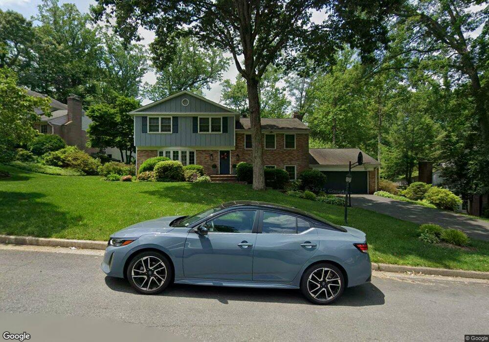
8914 Lynnhurst Dr Fairfax, VA 22031
Estimated Value: $1,211,426 - $1,371,000
5
Beds
3
Baths
2,202
Sq Ft
$587/Sq Ft
Est. Value
About This Home
This home is located at 8914 Lynnhurst Dr, Fairfax, VA 22031 and is currently estimated at $1,293,607, approximately $587 per square foot. 8914 Lynnhurst Dr is a home located in Fairfax County with nearby schools including Mantua Elementary School, Frost Middle School, and W. T. Woodson High School.
Ownership History
Date
Name
Owned For
Owner Type
Purchase Details
Closed on
Aug 20, 2007
Sold by
Nelson Jeffry Howard
Bought by
Cariola Michael L
Current Estimated Value
Home Financials for this Owner
Home Financials are based on the most recent Mortgage that was taken out on this home.
Original Mortgage
$500,000
Outstanding Balance
$318,511
Interest Rate
6.78%
Mortgage Type
New Conventional
Estimated Equity
$975,096
Create a Home Valuation Report for This Property
The Home Valuation Report is an in-depth analysis detailing your home's value as well as a comparison with similar homes in the area
Home Values in the Area
Average Home Value in this Area
Purchase History
| Date | Buyer | Sale Price | Title Company |
|---|---|---|---|
| Cariola Michael L | $845,000 | -- |
Source: Public Records
Mortgage History
| Date | Status | Borrower | Loan Amount |
|---|---|---|---|
| Open | Cariola Michael L | $500,000 |
Source: Public Records
Tax History Compared to Growth
Tax History
| Year | Tax Paid | Tax Assessment Tax Assessment Total Assessment is a certain percentage of the fair market value that is determined by local assessors to be the total taxable value of land and additions on the property. | Land | Improvement |
|---|---|---|---|---|
| 2025 | $9,911 | $949,920 | $448,000 | $501,920 |
| 2024 | $9,911 | $855,540 | $403,000 | $452,540 |
| 2023 | $9,442 | $836,670 | $393,000 | $443,670 |
| 2022 | $9,346 | $817,280 | $378,000 | $439,280 |
| 2021 | $8,745 | $745,210 | $353,000 | $392,210 |
| 2020 | $8,713 | $736,210 | $344,000 | $392,210 |
| 2019 | $8,595 | $726,210 | $334,000 | $392,210 |
| 2018 | $8,343 | $725,520 | $334,000 | $391,520 |
| 2017 | $8,168 | $703,520 | $312,000 | $391,520 |
| 2016 | $8,150 | $703,520 | $312,000 | $391,520 |
| 2015 | $8,201 | $734,830 | $303,000 | $431,830 |
| 2014 | $7,751 | $696,050 | $278,000 | $418,050 |
Source: Public Records
Map
Nearby Homes
- 8819 Southwick St
- 3503 Alba Place
- 9110 Glenbrook Rd
- 9313 Coronado Terrace
- 3769 Persimmon Cir
- 9368 Tovito Dr
- 9350 Tovito Dr
- 3152 Eakin Park Ct
- 3814 Persimmon Cir
- 8920 Walker St
- 3371 Breckenridge Ct
- 3704 Persimmon Cir
- 9091 Bear Branch Place
- 8510 Browning Ct
- 3680 Persimmon Cir
- 9207 Hunting Pines Place
- 3116 White Daisy Place
- 3170 Ellenwood Dr
- 3331 Webley Ct
- 9117 Hunting Pines Place
- 8916 Lynnhurst Dr
- 8912 Lynnhurst Dr
- 8913 Lynnhurst Dr
- 8910 Lynnhurst Dr
- 8915 Lynnhurst Dr
- 8911 Lynnhurst Dr
- 8918 Lynnhurst Dr
- 3525 Glenbrook Rd
- 3529 Glenbrook Rd
- 3521 Glenbrook Rd
- 8917 Lynnhurst Dr
- 8919 Lynnhurst Dr
- 8909 Lynnhurst Dr
- 3524 Laurel Leaf Ln
- 3522 Laurel Leaf Ln
- 8905 Glenbrook Rd
- 3526 Laurel Leaf Ln
- 8912 Southwick St
- 8901 Glenbrook Rd
- 3520 Laurel Leaf Ln