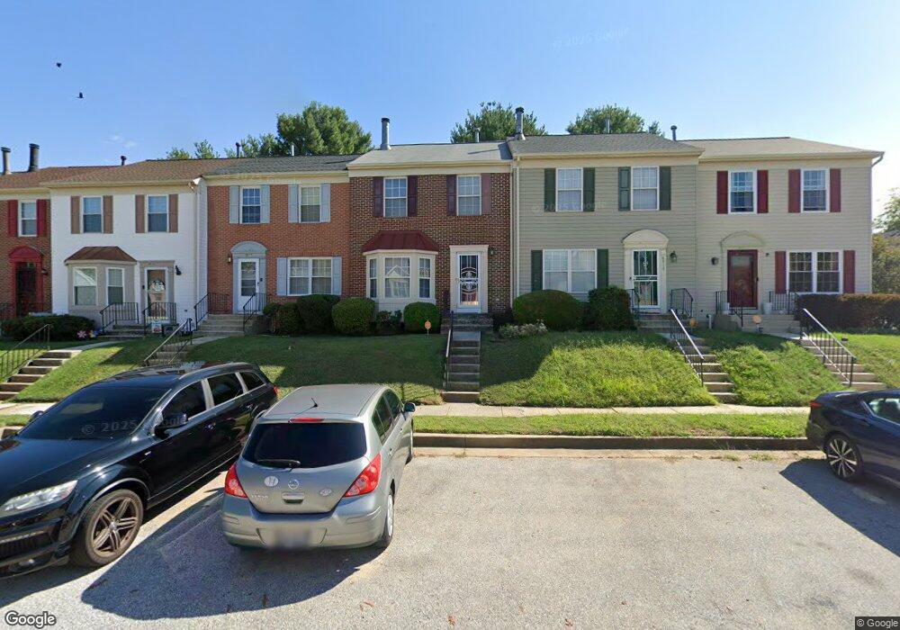
8915 Harkate Way Randallstown, MD 21133
Estimated Value: $278,009 - $311,000
--
Bed
3
Baths
1,374
Sq Ft
$213/Sq Ft
Est. Value
About This Home
This home is located at 8915 Harkate Way, Randallstown, MD 21133 and is currently estimated at $292,502, approximately $212 per square foot. 8915 Harkate Way is a home located in Baltimore County with nearby schools including Randallstown Elementary School, Windsor Mill Middle School, and Randallstown High School.
Ownership History
Date
Name
Owned For
Owner Type
Purchase Details
Closed on
Nov 6, 1998
Sold by
Secretary Of Housing
Bought by
Smith Lucy
Current Estimated Value
Purchase Details
Closed on
Sep 18, 1998
Sold by
Mcdougald Sandra
Bought by
Secretary Of Housing and Urban Development
Purchase Details
Closed on
Jun 30, 1992
Sold by
Foster-Oakwood V Illage
Bought by
Mcdougald Sandra
Create a Home Valuation Report for This Property
The Home Valuation Report is an in-depth analysis detailing your home's value as well as a comparison with similar homes in the area
Home Values in the Area
Average Home Value in this Area
Purchase History
| Date | Buyer | Sale Price | Title Company |
|---|---|---|---|
| Smith Lucy | $94,777 | -- | |
| Secretary Of Housing | $135,000 | -- | |
| Mcdougald Sandra | $109,000 | -- |
Source: Public Records
Tax History Compared to Growth
Tax History
| Year | Tax Paid | Tax Assessment Tax Assessment Total Assessment is a certain percentage of the fair market value that is determined by local assessors to be the total taxable value of land and additions on the property. | Land | Improvement |
|---|---|---|---|---|
| 2025 | $2,901 | $230,067 | -- | -- |
| 2024 | $2,901 | $210,600 | $50,000 | $160,600 |
| 2023 | $1,560 | $200,833 | $0 | $0 |
| 2022 | $3,127 | $191,067 | $0 | $0 |
| 2021 | $2,908 | $181,300 | $50,000 | $131,300 |
| 2020 | $2,908 | $177,767 | $0 | $0 |
| 2019 | $3,241 | $174,233 | $0 | $0 |
| 2018 | $2,837 | $170,700 | $49,400 | $121,300 |
| 2017 | $2,952 | $158,567 | $0 | $0 |
| 2016 | $2,364 | $146,433 | $0 | $0 |
| 2015 | $2,364 | $134,300 | $0 | $0 |
| 2014 | $2,364 | $134,300 | $0 | $0 |
Source: Public Records
Map
Nearby Homes
- 8948 Harkate Way
- 3418 Carroll Ave
- 3506 Bayer Ave
- 3402 Offutt Rd
- 3332 Offutt Rd
- 5713 Old Court Rd
- 3320 Offutt Rd
- 3705 Allenswood Ct
- 0 Old Court Rd Parcel 631
- 9012 Allenswood Rd
- 9210 Liberty Rd
- 9208A Liberty Rd
- 9202 Samoset Rd
- 8908 Meadow Heights Rd
- 9044 Allenswood Rd
- 3312 Lauri Rd
- 8305 Windsor Mill Rd
- 9311 Colorado Ave
- 3805 Terka Cir
- 3821 Brownhill Rd
- 8917 Harkate Way
- 8913 Harkate Way
- 8919 Harkate Way
- 8911 Harkate Way
- 8921 Harkate Way
- 8923 Harkate Way
- 8907 Harkate Way
- 8925 Harkate Way
- 8905 Harkate Way
- 8903 Harkate Way
- 9012 Marley Dr
- 8927 Harkate Way
- 9010 Marley Dr
- 9008 Marley Dr
- 8916 Harkate Way
- 8914 Harkate Way
- 8918 Harkate Way
- 8912 Harkate Way
- 8901 Harkate Way
- 8920 Harkate Way