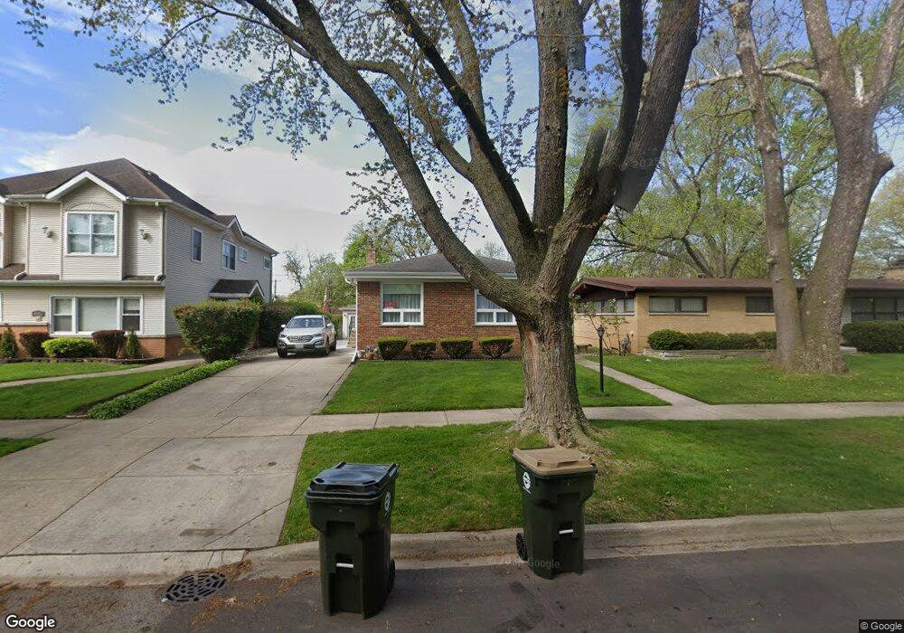
8916 Harms Rd Morton Grove, IL 60053
Estimated Value: $411,776 - $438,000
3
Beds
2
Baths
1,288
Sq Ft
$332/Sq Ft
Est. Value
About This Home
This home is located at 8916 Harms Rd, Morton Grove, IL 60053 and is currently estimated at $427,944, approximately $332 per square foot. 8916 Harms Rd is a home located in Cook County with nearby schools including Park View Elementary School, Niles West High School, and Arie Crown Hebrew Day School.
Create a Home Valuation Report for This Property
The Home Valuation Report is an in-depth analysis detailing your home's value as well as a comparison with similar homes in the area
Home Values in the Area
Average Home Value in this Area
Tax History Compared to Growth
Tax History
| Year | Tax Paid | Tax Assessment Tax Assessment Total Assessment is a certain percentage of the fair market value that is determined by local assessors to be the total taxable value of land and additions on the property. | Land | Improvement |
|---|---|---|---|---|
| 2024 | $690 | $11,006 | $4,063 | $6,943 |
| 2023 | $823 | $11,006 | $4,063 | $6,943 |
| 2022 | $823 | $11,006 | $4,063 | $6,943 |
| 2021 | $983 | $7,694 | $2,500 | $5,194 |
| 2020 | $892 | $7,694 | $2,500 | $5,194 |
| 2019 | $692 | $8,490 | $2,500 | $5,990 |
| 2018 | $781 | $8,260 | $2,265 | $5,995 |
| 2017 | $773 | $8,260 | $2,265 | $5,995 |
| 2016 | $931 | $8,260 | $2,265 | $5,995 |
| 2015 | $1,051 | $6,865 | $1,953 | $4,912 |
| 2014 | $1,028 | $6,865 | $1,953 | $4,912 |
| 2013 | $1,029 | $6,865 | $1,953 | $4,912 |
Source: Public Records
Map
Nearby Homes
- 5536 Greenwood St
- 5459 Suffield Ct
- 8918 Parkside Ave
- 5352 Greenwood St
- 5449 Arcadia St
- 5346 Suffield Terrace
- 8708 Central Ave
- 8841 Menard Ave
- 8655 Harms Rd
- 5247 Suffield Ct
- 8836 Mansfield Ave
- 5309 Crain St
- 9234 Central Ave
- 8541 Lotus Ave Unit 914
- 5128 Suffield Ct
- 9224 Menard Ave
- 5644 Lyons St
- 5510 Lincoln Ave Unit B301
- 5510 Lincoln Ave Unit B101
- 5506 Lincoln Ave Unit A117