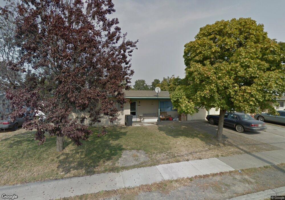
8916 Travis Dr Moses Lake, WA 98837
Estimated Value: $203,000 - $242,000
3
Beds
1
Bath
1,144
Sq Ft
$195/Sq Ft
Est. Value
About This Home
This home is located at 8916 Travis Dr, Moses Lake, WA 98837 and is currently estimated at $223,359, approximately $195 per square foot. 8916 Travis Dr is a home located in Grant County with nearby schools including Larson Heights Elementary School, Endeavor Middle School, and Moses Lake High School.
Create a Home Valuation Report for This Property
The Home Valuation Report is an in-depth analysis detailing your home's value as well as a comparison with similar homes in the area
Home Values in the Area
Average Home Value in this Area
Tax History Compared to Growth
Tax History
| Year | Tax Paid | Tax Assessment Tax Assessment Total Assessment is a certain percentage of the fair market value that is determined by local assessors to be the total taxable value of land and additions on the property. | Land | Improvement |
|---|---|---|---|---|
| 2025 | $1,553 | $151,952 | -- | -- |
| 2024 | $1,670 | $141,549 | $28,500 | $113,049 |
| 2023 | $1,536 | $119,480 | $28,500 | $90,980 |
| 2022 | $1,498 | $119,480 | $28,500 | $90,980 |
| 2021 | $1,495 | $119,480 | $28,500 | $90,980 |
| 2020 | $1,267 | $116,610 | $28,500 | $88,110 |
| 2019 | $1,329 | $94,840 | $20,000 | $74,840 |
| 2018 | $1,495 | $91,605 | $20,000 | $71,605 |
| 2017 | $1,485 | $102,345 | $20,000 | $82,345 |
| 2016 | $1,234 | $83,185 | $20,000 | $63,185 |
| 2013 | -- | $77,440 | $20,000 | $57,440 |
Source: Public Records
Map
Nearby Homes
- 8910 Travis Dr Unit B
- 9008 Bong Loop Unit B
- 8958 Tinker Loop Unit A & B
- 9021 Mcconnell Dr Unit A
- 9016 Bong Loop Unit B
- 410 Biggs Dr NE
- 9035 Forrestal Ln
- 9023 Mcconnell Dr Unit A
- 141 Carswell Dr
- 205 March Dr NE
- 1127 Arlington Dr
- 7613 Cox St NE
- 0 22nd Ave NE
- 4926 Shorecrest Dr NE
- 8653 Harris Rd NE
- 541 Fairchild Loop
- 4815 Airway Dr NE Unit 86
- 4815 Airway Dr NE Unit 72
- 4815 Airway Dr NE Unit 12
- 538 Fairchild Loop
- 8916 Travis Dr
- 8916 Travis Dr Unit A
- 8918 Travis Dr
- 8918 Travis Dr Unit A & B
- 8917 Travis Dr
- 1208 1210 NE Vandenberg Ave
- 8914 Travis Dr
- 8914 Travis Dr
- 8915 Travis Dr Unit A & B
- 8915 Travis Dr
- 8919 Travis Dr
- 1108 1110 Vandenberg Lp
- 8920 Travis Dr
- 8920 Travis Dr
- 8921 Travis Dr
- 8921 Travis Dr
- 8936 Craw Ln
- 8936 Craw Ln
- 1214 Vandenburg Loop
- 1200 1202 Vandenberg Ave