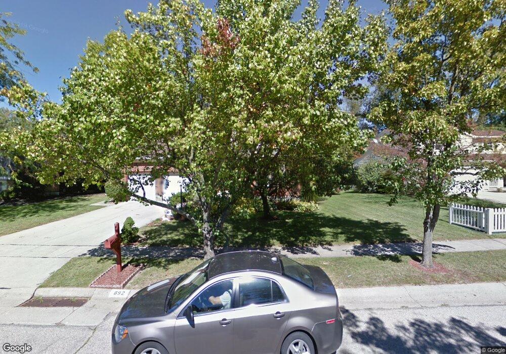
892 Bradford Ct Cincinnati, OH 45233
Estimated Value: $262,050 - $303,000
3
Beds
3
Baths
1,530
Sq Ft
$187/Sq Ft
Est. Value
About This Home
This home is located at 892 Bradford Ct, Cincinnati, OH 45233 and is currently estimated at $285,513, approximately $186 per square foot. 892 Bradford Ct is a home located in Hamilton County with nearby schools including John Foster Dulles Elementary School, Rapid Run Middle School, and Oak Hills High School.
Ownership History
Date
Name
Owned For
Owner Type
Purchase Details
Closed on
Dec 22, 2000
Sold by
Myers Rodney
Bought by
Myers Mary Ann
Current Estimated Value
Home Financials for this Owner
Home Financials are based on the most recent Mortgage that was taken out on this home.
Original Mortgage
$24,000
Interest Rate
7.43%
Mortgage Type
Stand Alone Second
Create a Home Valuation Report for This Property
The Home Valuation Report is an in-depth analysis detailing your home's value as well as a comparison with similar homes in the area
Home Values in the Area
Average Home Value in this Area
Purchase History
| Date | Buyer | Sale Price | Title Company |
|---|---|---|---|
| Myers Mary Ann | -- | -- |
Source: Public Records
Mortgage History
| Date | Status | Borrower | Loan Amount |
|---|---|---|---|
| Closed | Myers Mary Ann | $24,000 |
Source: Public Records
Tax History Compared to Growth
Tax History
| Year | Tax Paid | Tax Assessment Tax Assessment Total Assessment is a certain percentage of the fair market value that is determined by local assessors to be the total taxable value of land and additions on the property. | Land | Improvement |
|---|---|---|---|---|
| 2024 | $4,283 | $71,208 | $9,527 | $61,681 |
| 2023 | $4,376 | $71,208 | $9,527 | $61,681 |
| 2022 | $3,725 | $54,303 | $7,791 | $46,512 |
| 2021 | $3,582 | $54,303 | $7,791 | $46,512 |
| 2020 | $3,682 | $54,303 | $7,791 | $46,512 |
| 2019 | $3,534 | $47,636 | $6,836 | $40,800 |
| 2018 | $3,539 | $47,636 | $6,836 | $40,800 |
| 2017 | $3,364 | $47,636 | $6,836 | $40,800 |
| 2016 | $3,974 | $55,538 | $6,692 | $48,846 |
| 2015 | $3,582 | $55,538 | $6,692 | $48,846 |
| 2014 | $3,608 | $55,538 | $6,692 | $48,846 |
| 2013 | $3,633 | $54,989 | $6,626 | $48,363 |
Source: Public Records
Map
Nearby Homes
- 837 Martini Rd
- 241 Monitor Ave
- 174 Twain Ave
- 133 Meridian St
- 127 Meridian St
- 665 Fox Trails Way
- 6164 Hillside Ave
- 6516 Parkland Ave
- 400 Parkview Cir
- 6631 Home City Ave
- 6730 Daniels Walk
- 6723 Daniels Walk
- 6725 Daniels Walk
- 6713 Daniels Walk
- 6735 Home City Ave
- 524 Trison Dr
- 6604 River Rd
- 1118 Timbervalley Ct
- 6474 Simon Dr
- 6811 Parkland Ave
- 898 Bradford Ct
- 882 Bradford Ct
- 889 Bradford Ct
- 893 Bradford Ct
- 897 Bradford Ct
- 878 Bradford Ct
- 881 Bradford Ct
- 906 Bradford Ct
- 901 Bradford Ct
- 885 Bradford Ct
- 905 Bradford Ct
- 910 Bradford Ct
- 875 Bradford Ct
- 874 Bradford Ct
- 909 Bradford Ct
- 914 Bradford Ct
- 913 Bradford Ct
- 870 Bradford Ct
- 918 Bradford Ct
- 865 Bradford Ct