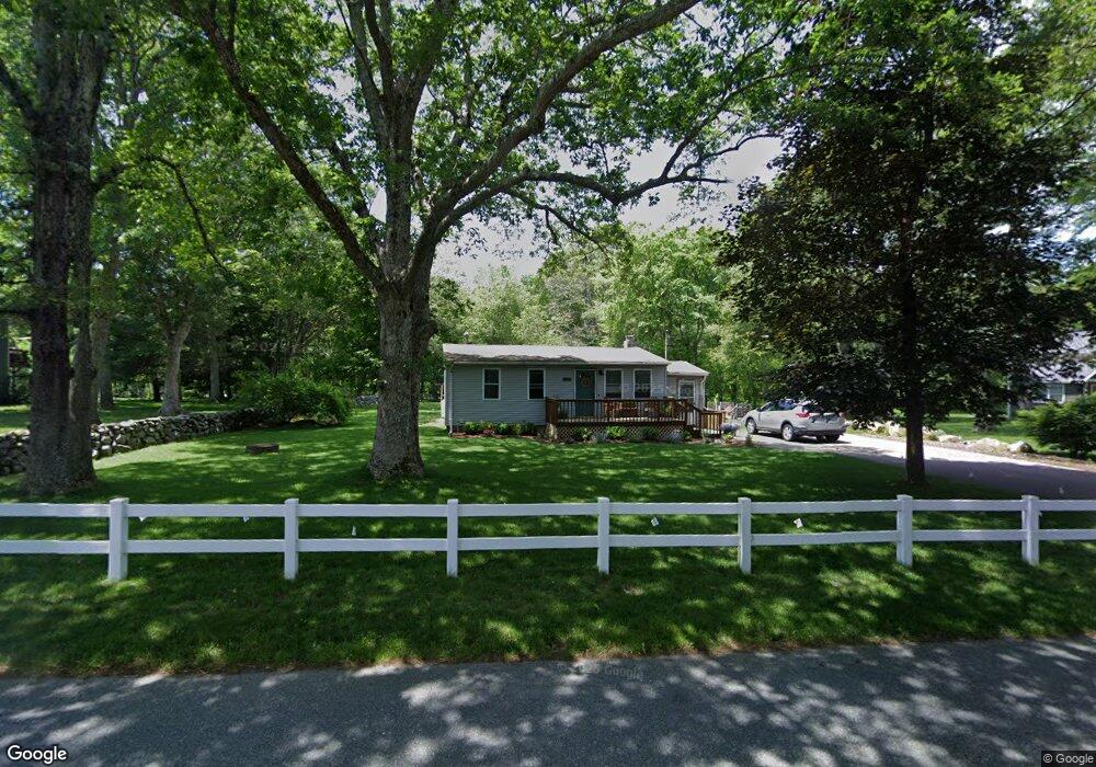
892 Broad Rock Rd Wakefield, RI 02879
Estimated Value: $376,000 - $423,057
2
Beds
1
Bath
768
Sq Ft
$522/Sq Ft
Est. Value
About This Home
This home is located at 892 Broad Rock Rd, Wakefield, RI 02879 and is currently estimated at $401,264, approximately $522 per square foot. 892 Broad Rock Rd is a home located in Washington County with nearby schools including South Kingstown High School, Monsignor Matthew Clarke Catholic Regional School, and South Shore School.
Ownership History
Date
Name
Owned For
Owner Type
Purchase Details
Closed on
Feb 16, 2024
Sold by
Cottle Pamela M
Bought by
Carlson Walter C and Obrien Kelsie M
Current Estimated Value
Home Financials for this Owner
Home Financials are based on the most recent Mortgage that was taken out on this home.
Original Mortgage
$343,660
Outstanding Balance
$337,598
Interest Rate
6.62%
Mortgage Type
FHA
Estimated Equity
$63,666
Purchase Details
Closed on
Jul 8, 2010
Sold by
Hanson Marjorie J
Bought by
Cottle Pamela M
Home Financials for this Owner
Home Financials are based on the most recent Mortgage that was taken out on this home.
Original Mortgage
$122,400
Interest Rate
4.78%
Mortgage Type
Purchase Money Mortgage
Purchase Details
Closed on
Nov 3, 2009
Sold by
Christensen Carol Ann
Bought by
Christensen Carol Ann and Hanson Marjorie J
Create a Home Valuation Report for This Property
The Home Valuation Report is an in-depth analysis detailing your home's value as well as a comparison with similar homes in the area
Home Values in the Area
Average Home Value in this Area
Purchase History
| Date | Buyer | Sale Price | Title Company |
|---|---|---|---|
| Carlson Walter C | $350,000 | None Available | |
| Cottle Pamela M | $153,000 | -- | |
| Christensen Carol Ann | -- | -- |
Source: Public Records
Mortgage History
| Date | Status | Borrower | Loan Amount |
|---|---|---|---|
| Open | Carlson Walter C | $343,660 | |
| Previous Owner | Christensen Carol Ann | $122,400 | |
| Previous Owner | Christensen Carol Ann | $113,171 | |
| Previous Owner | Christensen Carol Ann | $115,000 |
Source: Public Records
Tax History
| Year | Tax Paid | Tax Assessment Tax Assessment Total Assessment is a certain percentage of the fair market value that is determined by local assessors to be the total taxable value of land and additions on the property. | Land | Improvement |
|---|---|---|---|---|
| 2025 | $2,895 | $323,800 | $165,700 | $158,100 |
| 2024 | $2,736 | $247,600 | $127,400 | $120,200 |
| 2023 | $2,727 | $246,800 | $127,400 | $119,400 |
| 2022 | $2,702 | $246,800 | $127,400 | $119,400 |
| 2021 | $2,763 | $191,200 | $105,000 | $86,200 |
| 2020 | $2,763 | $191,200 | $105,000 | $86,200 |
| 2019 | $2,763 | $191,200 | $105,000 | $86,200 |
| 2018 | $2,753 | $175,600 | $101,400 | $74,200 |
| 2017 | $2,688 | $175,600 | $101,400 | $74,200 |
| 2016 | $2,650 | $175,600 | $101,400 | $74,200 |
| 2015 | $2,628 | $169,300 | $95,400 | $73,900 |
| 2014 | $2,621 | $169,300 | $95,400 | $73,900 |
Source: Public Records
Map
Nearby Homes
- 95 S Woods Dr
- 0 Indian Trail Trail S Unit 1389828
- 0 Indian Run Trail Unit 1403300
- 15 Jessica Ln
- 1808 Kingstown Rd
- 57 Rocky Brook Way
- 301 Church St Unit 103
- 48 Stone Bridge Dr
- 131 Columbia St
- 143 Summit Ave
- 5 Wayland Trail
- 416 Bridgetown Rd
- 37 Columbia St
- 20 Cleveland St
- 1729 South Rd Unit C
- 1724 South Rd
- 45 Cherry Ln Unit C
- 125 Montauk Rd
- 39 Hazard Ave
- 260 Sweet Allen Farm Rd Unit 3
- 882 Broad Rock Rd
- 910 Broad Rock Rd
- 889 Broad Rock Rd
- 901 Broad Rock Rd
- 928 Broad Rock Rd
- 917 Broad Rock Rd
- 871 Broad Rock Rd
- 863 Broad Rock Rd
- 853 Broad Rock Rd
- 15 Woodmist Cir
- 941 Broad Rock Rd
- 843 Broad Rock Rd
- 0 Woodmist Cir Unit 1048689
- 0 Woodmist Cir Unit 1037201
- 806 Broad Rock Rd
- 451 Broad Rock Rd
- 80 Broad Rock Rd
- 960 Broad Rock Rd
- 960 Broad Rock Rd Unit ROCK
- 824 Broad Rock Rd
Your Personal Tour Guide
Ask me questions while you tour the home.