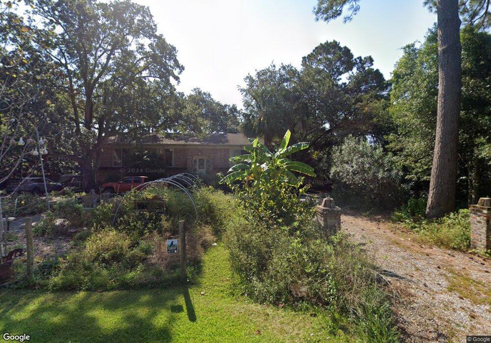
892 White Point Blvd Charleston, SC 29412
James Island NeighborhoodEstimated Value: $1,265,000 - $1,374,997
3
Beds
3
Baths
2,903
Sq Ft
$462/Sq Ft
Est. Value
About This Home
This home is located at 892 White Point Blvd, Charleston, SC 29412 and is currently estimated at $1,342,249, approximately $462 per square foot. 892 White Point Blvd is a home located in Charleston County with nearby schools including Harbor View Elementary School, Camp Road Middle, and Charleston Development Academy.
Ownership History
Date
Name
Owned For
Owner Type
Purchase Details
Closed on
Jun 20, 2011
Sold by
Steele Jane S and Steele Peter W H
Bought by
Williamson Bruce G and Williamson Christine E
Current Estimated Value
Home Financials for this Owner
Home Financials are based on the most recent Mortgage that was taken out on this home.
Original Mortgage
$250,000
Outstanding Balance
$172,507
Interest Rate
4.65%
Mortgage Type
New Conventional
Estimated Equity
$1,169,742
Purchase Details
Closed on
Dec 2, 2009
Sold by
Estate Of John C H Steele Sr and Steele Peter W
Bought by
Steele John C H and Steele Peter W H
Create a Home Valuation Report for This Property
The Home Valuation Report is an in-depth analysis detailing your home's value as well as a comparison with similar homes in the area
Home Values in the Area
Average Home Value in this Area
Purchase History
| Date | Buyer | Sale Price | Title Company |
|---|---|---|---|
| Williamson Bruce G | $395,000 | -- | |
| Steele John C H | -- | -- |
Source: Public Records
Mortgage History
| Date | Status | Borrower | Loan Amount |
|---|---|---|---|
| Open | Williamson Bruce G | $250,000 |
Source: Public Records
Tax History Compared to Growth
Tax History
| Year | Tax Paid | Tax Assessment Tax Assessment Total Assessment is a certain percentage of the fair market value that is determined by local assessors to be the total taxable value of land and additions on the property. | Land | Improvement |
|---|---|---|---|---|
| 2024 | $2,724 | $23,810 | $0 | $0 |
| 2023 | $2,724 | $23,810 | $0 | $0 |
| 2022 | $2,501 | $23,810 | $0 | $0 |
| 2021 | $2,685 | $23,810 | $0 | $0 |
| 2020 | $2,716 | $23,810 | $0 | $0 |
| 2019 | $2,470 | $20,700 | $0 | $0 |
| 2017 | $2,630 | $20,700 | $0 | $0 |
| 2016 | $2,516 | $20,700 | $0 | $0 |
| 2015 | $2,628 | $20,700 | $0 | $0 |
| 2014 | $2,183 | $0 | $0 | $0 |
| 2011 | -- | $0 | $0 | $0 |
Source: Public Records
Map
Nearby Homes
- 1026 Fort Sumter Dr
- 924 White Point Blvd
- 881 Kushiwah Creek Dr
- 713 Lake Frances Dr
- 793 Shell Sand Rd
- 825 Shutes Folly Dr
- 620 N Shore Dr
- 1110 Darwin St
- 897 Kushiwah Creek Ct
- 777 Lake Frances Dr
- 525 Yellow Tower Terrace
- 643 N Shore Dr
- 975 Harbor View Rd
- 969 Harbor View Rd
- 816 Porcari St
- 804 Porcari St
- 3009 Allison Cove Dr
- 779 Dills Bluff Rd
- 783 Dills Bluff Rd
- 1232 W Capers Rd
- 894 White Point Blvd
- 896 White Point Blvd
- 895 White Point Blvd
- 891 White Point Blvd
- 980 Fort Sumter Dr
- 882 White Point Blvd
- 980 Ft Sumter Dr
- 974 Fort Sumter Dr
- 899 White Point Blvd
- Lot 6 White Point Blvd
- 976 Fort Sumter Dr
- 1000 Fort Sumter Dr
- 0 White Point Blvd Unit 9286830
- 0 White Point Blvd Unit 2729638
- 0 White Point Blvd Unit 2908668
- 0 White Point Blvd Unit 1024023
- 0 White Point Blvd Unit 1200670
- Lot 12 White Point Blvd
- 0 White Point Blvd
- 878 White Point Blvd