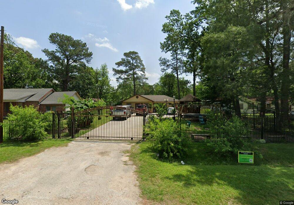
8920 Compton St Houston, TX 77016
Trinity-Houston Gardens NeighborhoodEstimated Value: $117,000 - $194,000
2
Beds
1
Bath
1,632
Sq Ft
$100/Sq Ft
Est. Value
About This Home
This home is located at 8920 Compton St, Houston, TX 77016 and is currently estimated at $163,429, approximately $100 per square foot. 8920 Compton St is a home located in Harris County with nearby schools including Felix Cook Jr. Elementary School, Key Middle, and Kashmere High School.
Ownership History
Date
Name
Owned For
Owner Type
Purchase Details
Closed on
Feb 25, 2023
Sold by
Mejia Norberto
Bought by
Segura Vicente Albiter and Cruz Dionicia Mejia
Current Estimated Value
Purchase Details
Closed on
Mar 15, 2006
Sold by
Parklane Industrial Llc
Bought by
Mejia Norberto and Garcia Brijida
Purchase Details
Closed on
May 17, 2005
Sold by
Amos Blanche
Bought by
Parklane Industrial Llc
Create a Home Valuation Report for This Property
The Home Valuation Report is an in-depth analysis detailing your home's value as well as a comparison with similar homes in the area
Home Values in the Area
Average Home Value in this Area
Purchase History
| Date | Buyer | Sale Price | Title Company |
|---|---|---|---|
| Segura Vicente Albiter | -- | -- | |
| Mejia Norberto | -- | American Title Co | |
| Parklane Industrial Llc | $13,000 | -- |
Source: Public Records
Tax History
| Year | Tax Paid | Tax Assessment Tax Assessment Total Assessment is a certain percentage of the fair market value that is determined by local assessors to be the total taxable value of land and additions on the property. | Land | Improvement |
|---|---|---|---|---|
| 2025 | $2,932 | $141,273 | $51,795 | $89,478 |
| 2024 | $2,932 | $140,106 | $51,795 | $88,311 |
| 2023 | $2,718 | $134,888 | $38,846 | $96,042 |
| 2022 | $2,209 | $100,308 | $25,898 | $74,410 |
| 2021 | $1,233 | $52,899 | $17,265 | $35,634 |
| 2020 | $1,158 | $47,838 | $17,265 | $30,573 |
| 2019 | $1,078 | $42,609 | $13,812 | $28,797 |
| 2017 | $874 | $34,583 | $13,812 | $20,771 |
| 2016 | $713 | $28,211 | $10,791 | $17,420 |
Source: Public Records
Map
Nearby Homes
- 8914 Lanewood Dr
- 6513 Laura Koppe Rd
- 9205 & 9207 Spaulding St
- 6514 Laura Koppe Rd
- 8723 Compton St
- 8719 Compton St
- 6320 Laura Koppe Rd
- 8928 Homestead Rd
- 8706 Camay Dr
- 8700 Lanewood Dr
- 9226 Lanewood Dr
- 8711 Westcott Rd Unit A and B
- 8709 Westcott Rd Unit A and B
- 8707 Westcott Rd Unit A and B
- 8504 Shady Dr
- 8514 Spaulding St
- 9227 Homestead Rd
- 6213 Laura Koppe Rd
- 7129 Springdale St Unit A/B
- 6012 Laura Koppe Rd
- 8930 Compton St
- 9002 Compton St
- 8934 Compton St
- 8905 Lanewood Dr
- 8901 Lanewood Dr
- 8909 Lanewood Dr
- 8906 Compton St
- 8825 Lanewood Dr
- 8913 Lanewood Dr
- 8915 Compton St
- 89095 Compton St
- 8909 Compton St
- 8821 Lanewood Dr
- 8902 Compton St
- 9001 Lanewood Dr Unit B
- 9001 Lanewood Dr Unit A & B
- 9001 Compton St
- 9005 Lanewood Dr
- 8817 Lanewood Dr
- 8907 Compton St
Your Personal Tour Guide
Ask me questions while you tour the home.