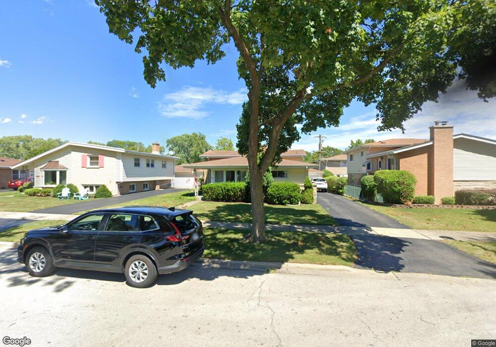
8921 Natoma Ave Unit 1 Morton Grove, IL 60053
Estimated Value: $445,000 - $497,000
4
Beds
2
Baths
1,253
Sq Ft
$367/Sq Ft
Est. Value
About This Home
This home is located at 8921 Natoma Ave Unit 1, Morton Grove, IL 60053 and is currently estimated at $460,076, approximately $367 per square foot. 8921 Natoma Ave Unit 1 is a home located in Cook County with nearby schools including Hynes Elementary School, Golf Middle School, and Niles North High School.
Ownership History
Date
Name
Owned For
Owner Type
Purchase Details
Closed on
Sep 24, 2003
Sold by
Nelsen Joan F
Bought by
Martin Gordon S and Martin Mary R
Current Estimated Value
Home Financials for this Owner
Home Financials are based on the most recent Mortgage that was taken out on this home.
Original Mortgage
$306,850
Interest Rate
6.04%
Mortgage Type
Unknown
Create a Home Valuation Report for This Property
The Home Valuation Report is an in-depth analysis detailing your home's value as well as a comparison with similar homes in the area
Home Values in the Area
Average Home Value in this Area
Purchase History
| Date | Buyer | Sale Price | Title Company |
|---|---|---|---|
| Martin Gordon S | $324,000 | Cti |
Source: Public Records
Mortgage History
| Date | Status | Borrower | Loan Amount |
|---|---|---|---|
| Previous Owner | Martin Gordon S | $306,850 |
Source: Public Records
Tax History Compared to Growth
Tax History
| Year | Tax Paid | Tax Assessment Tax Assessment Total Assessment is a certain percentage of the fair market value that is determined by local assessors to be the total taxable value of land and additions on the property. | Land | Improvement |
|---|---|---|---|---|
| 2024 | $8,606 | $33,739 | $7,150 | $26,589 |
| 2023 | $8,195 | $34,954 | $7,150 | $27,804 |
| 2022 | $8,195 | $34,954 | $7,150 | $27,804 |
| 2021 | $6,904 | $26,643 | $4,400 | $22,243 |
| 2020 | $6,846 | $26,643 | $4,400 | $22,243 |
| 2019 | $6,925 | $29,936 | $4,400 | $25,536 |
| 2018 | $6,228 | $24,849 | $3,987 | $20,862 |
| 2017 | $6,269 | $24,849 | $3,987 | $20,862 |
| 2016 | $6,511 | $26,077 | $3,987 | $22,090 |
| 2015 | $6,194 | $23,084 | $3,437 | $19,647 |
| 2014 | $6,092 | $23,084 | $3,437 | $19,647 |
| 2013 | $5,969 | $23,084 | $3,437 | $19,647 |
Source: Public Records
Map
Nearby Homes
- 8929 Cherry Ave
- 6638 Hazel St
- 6712 Maple St
- 6346 Hennings Ct
- 6344 Hennings Ct
- 6342 Hennings Ct
- 6340 Hennings Ct
- 6336 Hennings Ct
- 6334 Hennings Ct
- 6338 Hennings Ct
- 307 Narragansett Ct
- 6332 Hennings Ct
- 9244 Newcastle Ave
- 6330 Hennings Ct
- 9247 Natchez Ave
- 8712 Ferris Ave
- 8650 Ferris Ave Unit 203
- 6909 Beckwith Rd
- 8927 Belleforte Ave
- 8620 Waukegan Rd Unit 308
- 8925 Natoma Ave
- 8917 Natoma Ave
- 8922 Nashville Ave
- 8929 Natoma Ave Unit 1
- 8918 Nashville Ave
- 8926 Nashville Ave Unit 1
- 8930 Nashville Ave
- 8933 Natoma Ave
- 8922 Natoma Ave
- 8918 Natoma Ave
- 8930 Natoma Ave Unit 1
- 8934 Nashville Ave
- 8937 Natoma Ave Unit 1
- 8934 Natoma Ave
- 8938 Nashville Ave
- 8921 Nashville Ave Unit 1
- 8921 Cherry Ave Unit 1
- 8917 Nashville Ave Unit 1
- 8925 Nashville Ave
- 8925 Cherry Ave