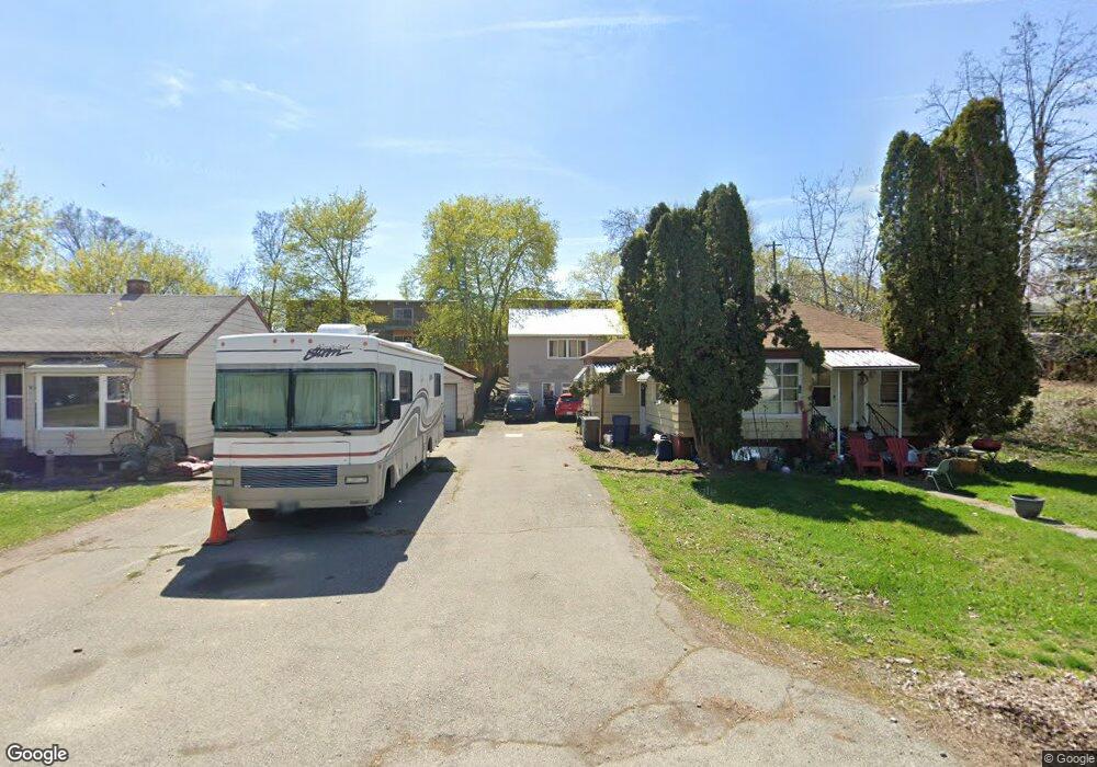
8924 E Bridgeport Ave Spokane, WA 99212
Estimated Value: $347,000 - $435,000
3
Beds
2
Baths
1,364
Sq Ft
$274/Sq Ft
Est. Value
About This Home
This home is located at 8924 E Bridgeport Ave, Spokane, WA 99212 and is currently estimated at $373,340, approximately $273 per square foot. 8924 E Bridgeport Ave is a home located in Spokane County with nearby schools including Orchard Center Elementary, Centennial Middle School, and West Valley High School.
Ownership History
Date
Name
Owned For
Owner Type
Purchase Details
Closed on
Jul 27, 1999
Sold by
Mitro James Michael
Bought by
Comer Gary S
Current Estimated Value
Home Financials for this Owner
Home Financials are based on the most recent Mortgage that was taken out on this home.
Original Mortgage
$87,435
Outstanding Balance
$25,106
Interest Rate
7.64%
Mortgage Type
FHA
Estimated Equity
$348,234
Create a Home Valuation Report for This Property
The Home Valuation Report is an in-depth analysis detailing your home's value as well as a comparison with similar homes in the area
Home Values in the Area
Average Home Value in this Area
Purchase History
| Date | Buyer | Sale Price | Title Company |
|---|---|---|---|
| Comer Gary S | $63,280 | Spokane County Title Co |
Source: Public Records
Mortgage History
| Date | Status | Borrower | Loan Amount |
|---|---|---|---|
| Open | Comer Gary S | $87,435 |
Source: Public Records
Tax History Compared to Growth
Tax History
| Year | Tax Paid | Tax Assessment Tax Assessment Total Assessment is a certain percentage of the fair market value that is determined by local assessors to be the total taxable value of land and additions on the property. | Land | Improvement |
|---|---|---|---|---|
| 2025 | $3,626 | $398,200 | $105,000 | $293,200 |
| 2024 | $3,626 | $337,500 | $80,000 | $257,500 |
| 2023 | $3,451 | $337,500 | $80,000 | $257,500 |
| 2022 | $3,224 | $337,500 | $80,000 | $257,500 |
| 2021 | $3,117 | $237,300 | $41,100 | $196,200 |
| 2020 | $2,966 | $201,700 | $41,100 | $160,600 |
| 2019 | $2,458 | $184,800 | $41,100 | $143,700 |
| 2018 | $2,627 | $163,600 | $41,100 | $122,500 |
| 2017 | $2,396 | $151,500 | $33,000 | $118,500 |
| 2016 | $2,287 | $142,300 | $33,000 | $109,300 |
| 2015 | $2,292 | $139,900 | $33,000 | $106,900 |
| 2014 | -- | $138,600 | $33,000 | $105,600 |
| 2013 | -- | $0 | $0 | $0 |
Source: Public Records
Map
Nearby Homes
- 8928 E South Riverway Ave
- 9014 E Frederick Ave
- 8319 E Liberty Ave
- 2822 N Stout Rd
- 9116 E Lacrosse Ln
- 2715 N Boeing Rd
- 4107 N Bessie Rd
- 4217 N Locust Rd
- 3417 N Elton Rd
- 3924 N Sunderland Ct
- 9609,9611,9615 E Upriver Dr
- 4323 N Farr Rd
- 8020 E Marietta Ave
- 9021 E Princeton Ln
- 9027 E Princeton Ln
- 3704 N Center Rd
- 8303 E Upriver Dr
- 10218 E Empire Ave
- 9516 E Hoffman Ln
- 4523 N Shiva Ln
- 8926 E Bridgeport Ave
- 3414 N Marguerite Rd
- 8905 E Liberty Ave
- 9008 E Bridgeport Ave
- 8921 E Bridgeport Ave
- 8907 E Liberty Ave
- 8907 E Liberty (Millwood Townhouses)
- 8903 E Liberty Ave
- 8927 E Bridgeport Ave
- 3504 N Marguerite Rd
- 9012 E Bridgeport Ave
- 3315 N Hutchinson Rd
- 9009 E Bridgeport Ave
- 8916 E South Riverway Ave
- 8924 E South Riverway Ave
- 8820 E Bridgeport Ave
- 3411 N Marguerite Rd
- 3318 N Marguerite Rd
- 8910 E South Riverway Ave
- 8821 E Bridgeport Ave