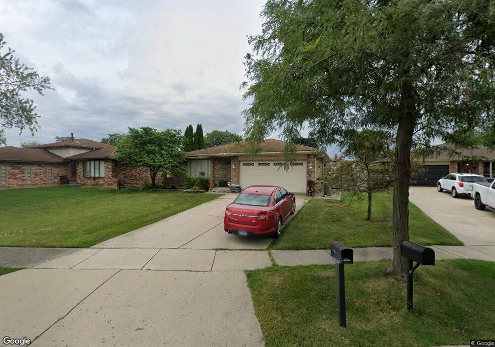
8925 Leslie Dr Orland Hills, IL 60487
Fernway Park NeighborhoodEstimated Value: $349,000 - $365,684
3
Beds
2
Baths
1,200
Sq Ft
$298/Sq Ft
Est. Value
About This Home
This home is located at 8925 Leslie Dr, Orland Hills, IL 60487 and is currently estimated at $357,671, approximately $298 per square foot. 8925 Leslie Dr is a home located in Cook County with nearby schools including Fernway Park Elementary School, Prairie View Middle School, and Victor J Andrew High School.
Ownership History
Date
Name
Owned For
Owner Type
Purchase Details
Closed on
Dec 20, 2016
Sold by
Nape John and Vacca Charyl M
Bought by
Nape John
Current Estimated Value
Home Financials for this Owner
Home Financials are based on the most recent Mortgage that was taken out on this home.
Original Mortgage
$180,000
Outstanding Balance
$116,854
Interest Rate
3.62%
Mortgage Type
New Conventional
Estimated Equity
$240,817
Purchase Details
Closed on
Jun 10, 2004
Sold by
Vano Lawrence P and Vano Jacqueline A
Bought by
Nape John and Vacca Cheryl M
Create a Home Valuation Report for This Property
The Home Valuation Report is an in-depth analysis detailing your home's value as well as a comparison with similar homes in the area
Home Values in the Area
Average Home Value in this Area
Purchase History
| Date | Buyer | Sale Price | Title Company |
|---|---|---|---|
| Nape John | -- | Nationallink | |
| Nape John | $238,000 | Ticor Title |
Source: Public Records
Mortgage History
| Date | Status | Borrower | Loan Amount |
|---|---|---|---|
| Open | Nape John | $180,000 |
Source: Public Records
Tax History Compared to Growth
Tax History
| Year | Tax Paid | Tax Assessment Tax Assessment Total Assessment is a certain percentage of the fair market value that is determined by local assessors to be the total taxable value of land and additions on the property. | Land | Improvement |
|---|---|---|---|---|
| 2024 | $7,167 | $29,000 | $6,677 | $22,323 |
| 2023 | $6,767 | $29,000 | $6,677 | $22,323 |
| 2022 | $6,767 | $22,268 | $5,441 | $16,827 |
| 2021 | $6,478 | $22,267 | $5,440 | $16,827 |
| 2020 | $6,295 | $22,267 | $5,440 | $16,827 |
| 2019 | $5,613 | $21,050 | $4,946 | $16,104 |
| 2018 | $6,084 | $23,148 | $4,946 | $18,202 |
| 2017 | $5,887 | $23,148 | $4,946 | $18,202 |
| 2016 | $5,474 | $19,738 | $4,451 | $15,287 |
| 2015 | $5,378 | $19,738 | $4,451 | $15,287 |
| 2014 | $5,332 | $19,738 | $4,451 | $15,287 |
| 2013 | $4,769 | $19,211 | $4,451 | $14,760 |
Source: Public Records
Map
Nearby Homes
- 16510 Sussex Dr
- 16753 Hilltop Ave
- 16701 Highview Ave
- 16753 91st Ave
- 16813 89th Ave
- 16805 Hilltop Ave
- 16779 92nd Ave
- 8710 W 168th St
- 8750 W 169th St
- 8564 Cherry Stone Place
- 16231 92nd Ave
- 16950 90th Ave
- 9215 Fox Ct
- 8721 W 169th St
- 9298 Meadowview Dr Unit 9298
- 16101 Haven Ave
- 8735 Golden Rose Dr
- 9404 Lindsay St
- 8400 167th St
- 16121 S 94th Ave
- 8917 Leslie Dr
- 8933 Leslie Dr
- 8909 Leslie Dr
- 8924 Dwight Ct
- 16551 Leslie Dr
- 16540 Sharon Ct
- 8960 Leslie Dr
- 16550 Sharon Ct
- 8932 Leslie Dr
- 8916 Dwight Ct
- 8924 Leslie Dr
- 16561 Leslie Dr
- 8916 Leslie Dr
- 16530 Leslie Dr
- 8908 Leslie Dr
- 8968 Herbert Ct
- 16560 Sharon Ct
- 16540 Leslie Dr
- 8900 Leslie Dr
- 8917 Dwight Ct