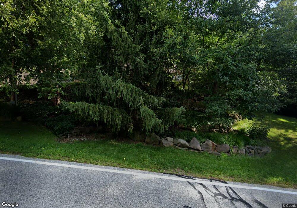
8927 Brookside Rd Independence, OH 44131
Estimated Value: $413,425 - $569,000
3
Beds
2
Baths
1,768
Sq Ft
$273/Sq Ft
Est. Value
About This Home
This home is located at 8927 Brookside Rd, Independence, OH 44131 and is currently estimated at $482,106, approximately $272 per square foot. 8927 Brookside Rd is a home located in Cuyahoga County with nearby schools including Independence Primary School, Independence Middle School, and Independence High School.
Ownership History
Date
Name
Owned For
Owner Type
Purchase Details
Closed on
Jun 26, 2006
Sold by
Hayman Edward
Bought by
Krol Christine A and Sagerser David A
Current Estimated Value
Purchase Details
Closed on
May 1, 2006
Sold by
Wood Richard and Wood Debbie
Bought by
Hayman Edward and The 8927 Brookside Rd Residential Land T
Purchase Details
Closed on
May 15, 1995
Sold by
Nerva Thelma
Bought by
Wood Richard T and Dilauro Debbie A
Home Financials for this Owner
Home Financials are based on the most recent Mortgage that was taken out on this home.
Original Mortgage
$18,000
Interest Rate
8.39%
Mortgage Type
New Conventional
Purchase Details
Closed on
Jan 1, 1981
Bought by
Nerva Thelma G
Create a Home Valuation Report for This Property
The Home Valuation Report is an in-depth analysis detailing your home's value as well as a comparison with similar homes in the area
Home Values in the Area
Average Home Value in this Area
Purchase History
| Date | Buyer | Sale Price | Title Company |
|---|---|---|---|
| Krol Christine A | $378,500 | Cresent | |
| Hayman Edward | -- | None Available | |
| Wood Richard T | $24,000 | -- | |
| Nerva Thelma G | -- | -- |
Source: Public Records
Mortgage History
| Date | Status | Borrower | Loan Amount |
|---|---|---|---|
| Previous Owner | Wood Richard T | $18,000 |
Source: Public Records
Tax History
| Year | Tax Paid | Tax Assessment Tax Assessment Total Assessment is a certain percentage of the fair market value that is determined by local assessors to be the total taxable value of land and additions on the property. | Land | Improvement |
|---|---|---|---|---|
| 2024 | $5,524 | $115,500 | $22,855 | $92,645 |
| 2023 | $5,481 | $103,880 | $23,240 | $80,640 |
| 2022 | $5,451 | $103,880 | $23,240 | $80,640 |
| 2021 | $5,373 | $103,880 | $23,240 | $80,640 |
| 2020 | $5,254 | $95,310 | $21,320 | $73,990 |
| 2019 | $5,072 | $272,300 | $60,900 | $211,400 |
| 2018 | $2,559 | $95,310 | $21,320 | $73,990 |
| 2017 | $5,756 | $103,320 | $22,470 | $80,850 |
| 2016 | $5,698 | $103,320 | $22,470 | $80,850 |
| 2015 | $5,271 | $103,320 | $22,470 | $80,850 |
| 2014 | $5,271 | $95,660 | $20,790 | $74,870 |
Source: Public Records
Map
Nearby Homes
- 10635 Cardinal Ln
- 7311 Brecksville Rd
- 7003 Brecksville Rd
- 6752 Rivercrest Dr
- 8001 Robin Ln
- 10635 Tanager Trail
- 6626 Hawthorne Dr
- 11004 Greenhaven Pkwy
- 8261 Brecksville Rd
- 6713 Farview Rd
- 6895 Carriage Hill Dr Unit E77
- 6119 E Sprague Rd
- 7030 Carriage Hill Dr Unit 202
- 6930 Carriage Hill Dr Unit 101
- 6910 Carriage Hill Dr Unit 104
- 9800 Gleeson Dr
- 8420 Stone Rd
- 0 Old Quarry Ln
- 13285 S Partridge Dr
- 8556 Brecksville Rd
- 8931 Brookside Rd
- 8930 Bramley Dr
- 8970 Bramley Dr
- 8930 Brookside Rd
- 8926 Brookside Rd
- 9020 Bramley Dr
- 8971 Brookside Rd
- 8955 Bramley Dr
- 9050 Bramley Dr
- 8970 Brookside Rd
- 8991 Brookside Rd
- 9019 Bramley Dr
- 8915 Bramley Dr
- 8800 Bramley Dr
- 8818 Bramley Dr
- 9105 Bramley Dr
- 8990 Brookside Rd
- 8815 Bramley Dr
- 9100 Bramley Dr
- 9104 Bramley Dr
