8927 Davenport Rd Anderson Island, WA 98303
Estimated Value: $16,970 - $348,000
--
Bed
--
Bath
--
Sq Ft
8,712
Sq Ft Lot
About This Home
This home is located at 8927 Davenport Rd, Anderson Island, WA 98303 and is currently estimated at $127,323. 8927 Davenport Rd is a home located in Pierce County with nearby schools including Anderson Island Elementary School, Pioneer Middle School, and Steilacoom High School.
Ownership History
Date
Name
Owned For
Owner Type
Purchase Details
Closed on
Mar 18, 2017
Sold by
Inman Hannelore R and County Of San Diego
Bought by
Hyland David W and Stoian Cantrell Charlotte
Current Estimated Value
Purchase Details
Closed on
Apr 25, 2016
Sold by
County Of Pierce
Bought by
Inman Hannelore R
Purchase Details
Closed on
Dec 9, 2013
Sold by
County Of Pierce
Bought by
County Of Pierce
Purchase Details
Closed on
Jun 22, 2005
Sold by
Kachman Christopher J
Bought by
Bonney William F
Purchase Details
Closed on
Nov 21, 1995
Sold by
Bradley Leonard E and Bradley Shirley
Bought by
Kachman Christopher J and Kachman Janell L
Create a Home Valuation Report for This Property
The Home Valuation Report is an in-depth analysis detailing your home's value as well as a comparison with similar homes in the area
Home Values in the Area
Average Home Value in this Area
Purchase History
| Date | Buyer | Sale Price | Title Company |
|---|---|---|---|
| Hyland David W | $3,795 | None Available | |
| Inman Hannelore R | $417 | None Available | |
| County Of Pierce | -- | None Available | |
| Bonney William F | $7,000 | Puget Sound Title Company | |
| Kachman Christopher J | $1,000 | Chicago Title |
Source: Public Records
Tax History Compared to Growth
Tax History
| Year | Tax Paid | Tax Assessment Tax Assessment Total Assessment is a certain percentage of the fair market value that is determined by local assessors to be the total taxable value of land and additions on the property. | Land | Improvement |
|---|---|---|---|---|
| 2025 | $151 | $12,600 | $12,600 | -- |
| 2024 | $151 | $13,700 | $13,700 | -- |
| 2023 | $151 | $13,700 | $13,700 | $0 |
| 2022 | $88 | $13,000 | $13,000 | $0 |
| 2021 | $70 | $4,800 | $4,800 | $0 |
| 2019 | $56 | $4,000 | $4,000 | $0 |
| 2018 | $48 | $3,700 | $3,700 | $0 |
| 2017 | $48 | $2,800 | $2,800 | $0 |
| 2016 | $3 | $3,300 | $3,300 | $0 |
| 2014 | $80 | $3,800 | $3,800 | $0 |
| 2013 | $80 | $4,500 | $4,500 | $0 |
Source: Public Records
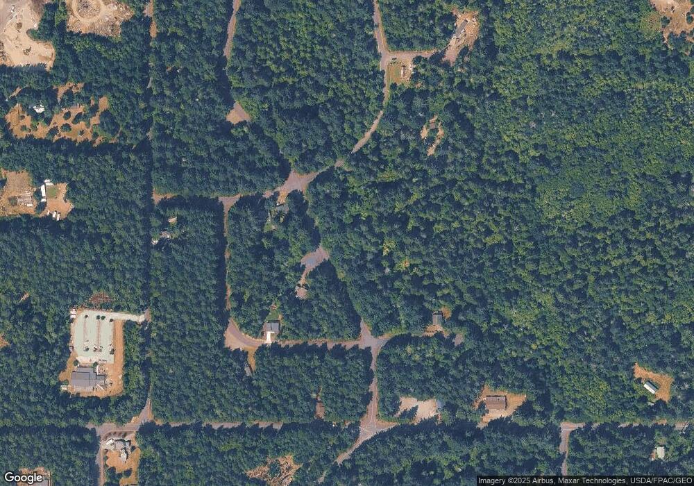
Map
Nearby Homes
- 11316 Breaker Way
- 8615 Eckenstam Johnson Rd
- 9223 Kootenai Dr
- 8510 112th Ave
- 12123 Sunset Place
- 8406 112th Ave
- 9705 117th Ave
- 9310 123rd Ave
- 12408 93rd St
- 8912 126th Avenue Ct
- 12606 Silver Dr
- 8811 127th Avenue Ct
- 11116 Matthews Way
- 10018 Selma Cir
- 12611 Silver Dr
- 11104 Matthews Way
- 9026 Villa Beach Rd Unit AI
- 12727 96th Street Ct
- 11024 Matthews Way
- 10114 Selma Cir
- 8920 Davenport Rd Unit AI
- 8803 Salal Dr Unit AI
- 9008 Davenport Rd
- 8928 Davenport Rd
- 9004 Davenport Rd
- 8807 Salal Dr Unit AI
- 9020 Davenport Rd
- 11521 Mill Place
- 111 117th & Guthrie Rd
- 11201 Juniper 107th Place
- 10514 Arbutus Dr
- 8827 Davenport Rd
- 8919 Davenport Rd
- 11714 Mill Place
- 11725 Mill Place
- 11607 Mill Place
- 11709 Mill Place
- 8810 Salal Dr
- 11415 Mill Place
- 9105 Davenport Rd