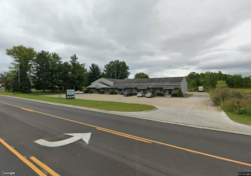
8929 State Route 14 Unit 1 Streetsboro, OH 44241
Estimated Value: $1,168,992
--
Bed
--
Bath
950
Sq Ft
$1,231/Sq Ft
Est. Value
About This Home
This home is located at 8929 State Route 14 Unit 1, Streetsboro, OH 44241 and is currently estimated at $1,168,992, approximately $1,230 per square foot. 8929 State Route 14 Unit 1 is a home located in Portage County with nearby schools including Streetsboro High School and Crossroads Christian Academy.
Ownership History
Date
Name
Owned For
Owner Type
Purchase Details
Closed on
Feb 26, 2020
Sold by
Scaccio Joseph R
Bought by
City Of Streetsboro
Current Estimated Value
Purchase Details
Closed on
Jun 2, 2011
Sold by
R & Kc Management Ltd
Bought by
Scaccio Joseph
Home Financials for this Owner
Home Financials are based on the most recent Mortgage that was taken out on this home.
Original Mortgage
$474,000
Interest Rate
4.81%
Mortgage Type
Seller Take Back
Purchase Details
Closed on
Jul 17, 2008
Sold by
Cundiff Randall
Bought by
R & Kc Management Ltd
Purchase Details
Closed on
May 30, 2008
Sold by
Moore Henry H and Moore Mary Ann
Bought by
Cundiff Randall
Purchase Details
Closed on
Dec 23, 1988
Bought by
Moore Henry H and Mary Ann
Create a Home Valuation Report for This Property
The Home Valuation Report is an in-depth analysis detailing your home's value as well as a comparison with similar homes in the area
Home Values in the Area
Average Home Value in this Area
Purchase History
| Date | Buyer | Sale Price | Title Company |
|---|---|---|---|
| City Of Streetsboro | $301 | None Available | |
| Scaccio Joseph | $550,000 | First American Title | |
| R & Kc Management Ltd | -- | Chicago Title Insurance Co | |
| Cundiff Randall | $443,125 | Attorney | |
| Moore Henry H | $45,000 | -- |
Source: Public Records
Mortgage History
| Date | Status | Borrower | Loan Amount |
|---|---|---|---|
| Previous Owner | Scaccio Joseph | $474,000 |
Source: Public Records
Tax History Compared to Growth
Tax History
| Year | Tax Paid | Tax Assessment Tax Assessment Total Assessment is a certain percentage of the fair market value that is determined by local assessors to be the total taxable value of land and additions on the property. | Land | Improvement |
|---|---|---|---|---|
| 2024 | $12,764 | $230,930 | $66,220 | $164,710 |
| 2023 | $12,693 | $191,420 | $55,200 | $136,220 |
| 2022 | $12,774 | $191,420 | $55,200 | $136,220 |
| 2021 | $12,965 | $191,420 | $55,200 | $136,220 |
| 2020 | $12,841 | $190,790 | $54,570 | $136,220 |
| 2019 | $12,923 | $190,790 | $54,570 | $136,220 |
| 2018 | $11,081 | $175,500 | $54,570 | $120,930 |
| 2017 | $10,381 | $175,500 | $54,570 | $120,930 |
| 2016 | $10,411 | $175,500 | $54,570 | $120,930 |
| 2015 | $10,448 | $175,500 | $54,570 | $120,930 |
| 2014 | $10,603 | $175,500 | $54,570 | $120,930 |
| 2013 | $10,550 | $175,500 | $54,570 | $120,930 |
Source: Public Records
Map
Nearby Homes
- 1648 Maple View Ct
- V/L State Route 14
- 8807 Kelly Ln
- 9012 Patriot Dr
- 9018 Patriot Dr
- 1446 Trader Dr Unit H5
- 1489 Crescent Dr
- 1440 Trader Dr
- 9244 Lakeside Dr
- 1654 Leslie Dr
- 1678 Duncan Way
- 1675 Duncan Way
- 1448 Jude Ave
- 9315 June Dr
- 1490 Evergreen Dr
- 9495 Nita Ln
- 1725 Pike Pkwy
- 1516 Gillie Dr
- 1405 Gillie Dr
- 1280 Shawnee Trail
- 8929 State Route 14 Unit D
- 8929 State Route 14 Unit B
- 8919 State Route 14
- 8932 State Route 14
- 8932 Ohio 14
- 8976 State Route 14
- 8936 State Route 14 Unit B or C
- 8936 State Route 14 Unit D
- 8936 State Route 14 Unit C
- 8936 State Route 14 Unit B
- 8936 State Route 14 Unit A
- 8938 State Route 14
- 1682 Sugar Maple Ct
- 1701 Red Maple Ct
- 1699 Red Maple Ct
- 1678 Sugar Maple Ct
- 1697 Red Maple Ct
- 1676 Sugar Maple Ct
- 1695 Red Maple Ct
- 1674 Sugar Maple Ct