Estimated Value: $219,014 - $285,000
6
Beds
5
Baths
5,373
Sq Ft
$46/Sq Ft
Est. Value
About This Home
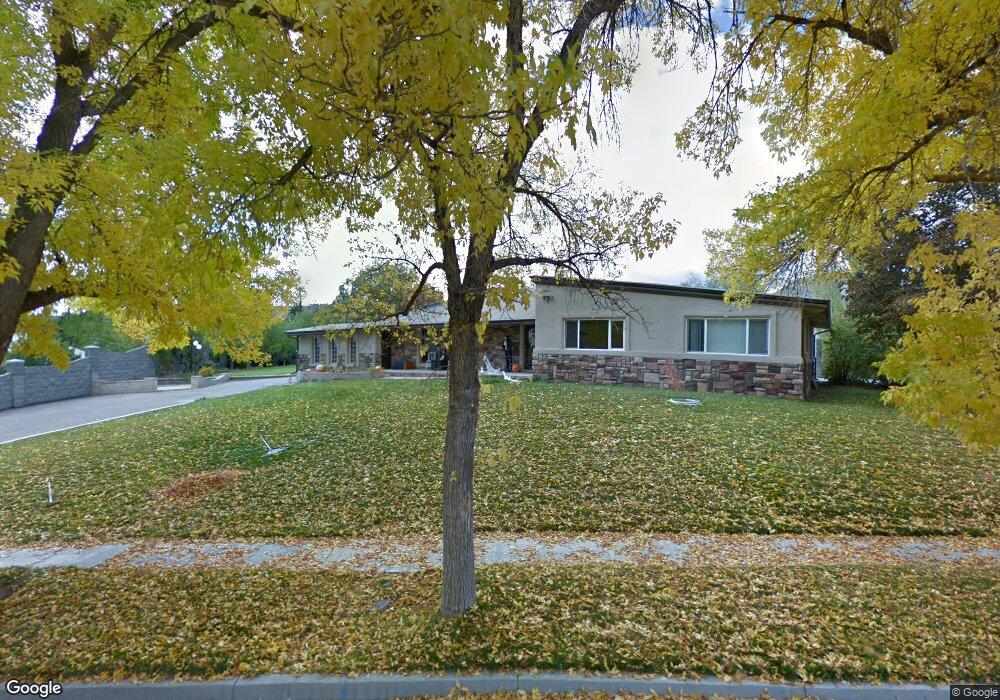
This home is located at 893 N 400 E, Price, UT 84501 and is currently estimated at $247,254, approximately $46 per square foot. 893 N 400 E is a home located in Carbon County with nearby schools including Castle Heights School, Mont Harmon Junior High School, and Carbon High School.
Ownership History
Date
Name
Owned For
Owner Type
Purchase Details
Closed on
Dec 14, 2023
Sold by
Jens Peterson Llc
Bought by
Cfd6 Llc
Current Estimated Value
Purchase Details
Closed on
Jun 29, 2022
Sold by
Poppleton Robert K
Bought by
Lee Jordan
Purchase Details
Closed on
Jun 28, 2010
Sold by
Morley Richard D
Bought by
Davis Fred
Create a Home Valuation Report for This Property
The Home Valuation Report is an in-depth analysis detailing your home's value as well as a comparison with similar homes in the area
Purchase History
| Date | Buyer | Sale Price | Title Company |
|---|---|---|---|
| Cfd6 Llc | -- | None Listed On Document | |
| Jens Peterson Llc | -- | None Listed On Document | |
| Lee Jordan | -- | New Title Company Name | |
| Davis Fred | -- | Profesional Title Services |
Source: Public Records
Tax History
| Year | Tax Paid | Tax Assessment Tax Assessment Total Assessment is a certain percentage of the fair market value that is determined by local assessors to be the total taxable value of land and additions on the property. | Land | Improvement |
|---|---|---|---|---|
| 2025 | $984 | $81,013 | $10,226 | $70,787 |
| 2024 | $1,092 | $90,952 | $10,725 | $80,227 |
| 2023 | $1,146 | $101,747 | $0 | $101,747 |
| 2022 | $1,357 | $108,068 | $15,732 | $92,336 |
| 2021 | $1,178 | $145,691 | $24,037 | $121,654 |
| 2020 | $1,160 | $71,978 | $0 | $0 |
| 2019 | $1,106 | $71,978 | $0 | $0 |
| 2018 | $1,084 | $71,978 | $0 | $0 |
| 2017 | $1,071 | $71,978 | $0 | $0 |
| 2016 | $966 | $71,978 | $0 | $0 |
| 2015 | $966 | $71,978 | $0 | $0 |
| 2014 | $960 | $71,978 | $0 | $0 |
| 2013 | $836 | $62,066 | $0 | $0 |
Source: Public Records
Map
Nearby Homes
Your Personal Tour Guide
Ask me questions while you tour the home.