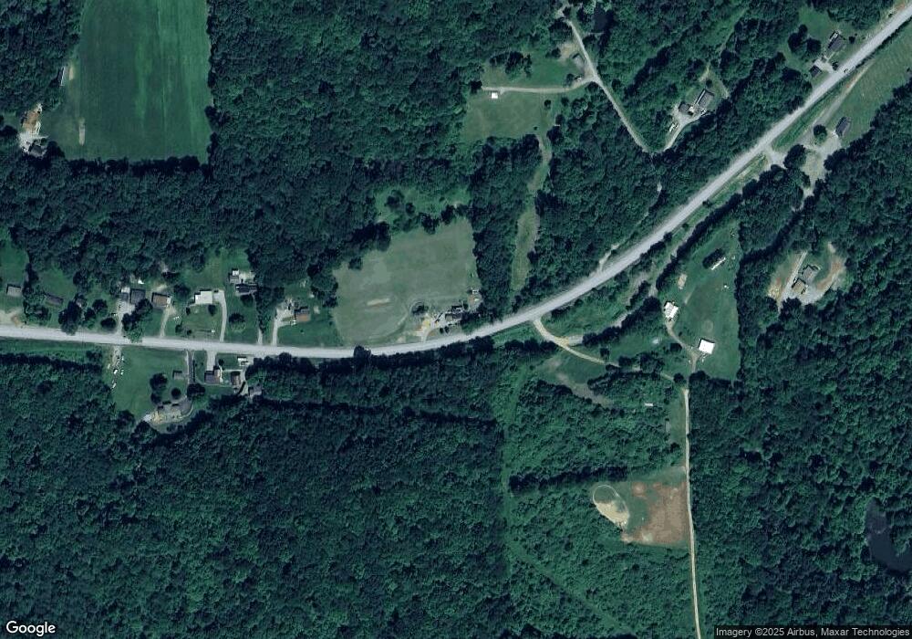
893 Reesedale Rd Adrian, PA 16210
Washington Township NeighborhoodEstimated Value: $118,000 - $159,940
2
Beds
1
Bath
1,562
Sq Ft
$88/Sq Ft
Est. Value
About This Home
This home is located at 893 Reesedale Rd, Adrian, PA 16210 and is currently estimated at $137,485, approximately $88 per square foot. 893 Reesedale Rd is a home located in Armstrong County with nearby schools including West Hills Intermediate School and West Hills Primary School.
Ownership History
Date
Name
Owned For
Owner Type
Purchase Details
Closed on
Jul 16, 2008
Sold by
Us Bank Na
Bought by
Frick Harry Dale and Frick Marsha Jean
Current Estimated Value
Home Financials for this Owner
Home Financials are based on the most recent Mortgage that was taken out on this home.
Original Mortgage
$61,655
Outstanding Balance
$40,574
Interest Rate
6.47%
Mortgage Type
Purchase Money Mortgage
Estimated Equity
$96,911
Purchase Details
Closed on
May 16, 2008
Sold by
Logan Robert W and Logan Mary N
Bought by
U S Bank Na
Purchase Details
Closed on
Sep 1, 1999
Bought by
Graham Mary N And
Create a Home Valuation Report for This Property
The Home Valuation Report is an in-depth analysis detailing your home's value as well as a comparison with similar homes in the area
Home Values in the Area
Average Home Value in this Area
Purchase History
| Date | Buyer | Sale Price | Title Company |
|---|---|---|---|
| Frick Harry Dale | $64,900 | None Available | |
| U S Bank Na | $1,233 | None Available | |
| Graham Mary N And | $55,000 | -- |
Source: Public Records
Mortgage History
| Date | Status | Borrower | Loan Amount |
|---|---|---|---|
| Open | Frick Harry Dale | $61,655 |
Source: Public Records
Tax History Compared to Growth
Tax History
| Year | Tax Paid | Tax Assessment Tax Assessment Total Assessment is a certain percentage of the fair market value that is determined by local assessors to be the total taxable value of land and additions on the property. | Land | Improvement |
|---|---|---|---|---|
| 2025 | $3,164 | $36,810 | $22,670 | $14,140 |
| 2024 | $2,980 | $36,810 | $22,670 | $14,140 |
| 2023 | $2,622 | $36,810 | $22,670 | $14,140 |
| 2022 | $2,622 | $36,810 | $22,670 | $14,140 |
| 2021 | $2,622 | $36,810 | $22,670 | $14,140 |
| 2020 | $2,622 | $36,810 | $22,670 | $14,140 |
| 2019 | $2,622 | $36,810 | $22,670 | $14,140 |
| 2018 | $2,618 | $32,385 | $12,190 | $20,195 |
| 2017 | $2,599 | $36,810 | $22,670 | $14,140 |
| 2016 | $2,599 | $36,810 | $22,670 | $14,140 |
| 2015 | $2,316 | $36,810 | $22,670 | $14,140 |
| 2014 | $2,316 | $36,810 | $22,670 | $14,140 |
Source: Public Records
Map
Nearby Homes
- 583 Adrian Reesedale Rd
- 455 Adrian Sherrett Rd
- 0 Silver Rock Rd
- Spot Rd
- 612 State Route 1031
- 174 Mcmillen Rd
- 269 Boltz Rd
- 1028 State Route 268
- 487 E Brady Rd
- 336 Walkchalk Rd
- 1594 Johnston Ave
- 223 Cedar Dr
- 712 Stewartson Rd
- 1408 Orr Ave
- 1017 Johnston Ave
- 1040 N Grant Ave
- 414 North Ave
- 536 1/2 Butler Rd
- 203-205 Maple St
- 136 Queen St
- 116 Lower Limestone Rd
- 873 Reesedale Rd
- 872 Reesedale Rd
- 131 Gravel Dr
- 864 Reesedale Rd
- 114 Gravel Dr
- 138 Gravel Dr
- 861 Reesedale Rd
- 862 Reesedale Rd
- 862 Reesedale Rd
- 855 Reesedale Rd
- 140 Lower Limestone Rd
- 951 Reesedale Rd
- 139 Wolfe Rd
- 156 Ridge Rd
- 134 Adrian Sherrett Rd
- 977 Reesedale Rd
- 101 Ridge Rd
- 107 Upper Limestone Rd
- 111 Upper Limestone Rd
