893 Willow Way Cheyenne, WY 82009
Estimated Value: $274,000 - $554,000
--
Bed
--
Bath
160
Sq Ft
$2,580/Sq Ft
Est. Value
About This Home
This home is located at 893 Willow Way, Cheyenne, WY 82009 and is currently estimated at $412,877, approximately $2,580 per square foot. 893 Willow Way is a home with nearby schools including Gilchrist Elementary School, McCormick Junior High School, and Central High School.
Ownership History
Date
Name
Owned For
Owner Type
Purchase Details
Closed on
Jan 14, 2025
Sold by
Oneill Patrick Michael and Oneill Patrick
Bought by
Elwell Robert
Current Estimated Value
Purchase Details
Closed on
May 15, 2018
Sold by
Oneill Patrick M
Bought by
Neill Michael F O
Purchase Details
Closed on
Feb 9, 2015
Sold by
Neill Michael F O
Bought by
Neill Michael F O and Neill Patrick M O
Purchase Details
Closed on
Sep 1, 2011
Sold by
Lepas Deborah
Bought by
Oneill Michael F
Create a Home Valuation Report for This Property
The Home Valuation Report is an in-depth analysis detailing your home's value as well as a comparison with similar homes in the area
Home Values in the Area
Average Home Value in this Area
Purchase History
| Date | Buyer | Sale Price | Title Company |
|---|---|---|---|
| Elwell Robert | -- | First American | |
| Elwell Robert | -- | First American | |
| Elwell Robert | -- | First American | |
| Neill Michael F O | -- | None Available | |
| Neill Michael F O | -- | Summit Title Services | |
| Oneill Michael F | -- | None Available |
Source: Public Records
Tax History Compared to Growth
Tax History
| Year | Tax Paid | Tax Assessment Tax Assessment Total Assessment is a certain percentage of the fair market value that is determined by local assessors to be the total taxable value of land and additions on the property. | Land | Improvement |
|---|---|---|---|---|
| 2025 | $1,645 | $18,915 | $4,457 | $14,458 |
| 2024 | $1,645 | $24,479 | $5,943 | $18,536 |
| 2023 | $1,567 | $23,848 | $5,942 | $17,906 |
| 2022 | $1,367 | $20,345 | $4,773 | $15,572 |
| 2021 | $1,273 | $18,902 | $3,974 | $14,928 |
| 2020 | $1,278 | $19,041 | $4,017 | $15,024 |
| 2019 | $1,300 | $19,352 | $3,781 | $15,571 |
| 2018 | $1,272 | $19,119 | $3,781 | $15,338 |
| 2017 | $1,117 | $16,631 | $2,946 | $13,685 |
| 2016 | $845 | $12,578 | $2,866 | $9,712 |
| 2015 | $193 | $2,866 | $2,866 | $0 |
| 2014 | -- | $2,899 | $2,899 | $0 |
Source: Public Records
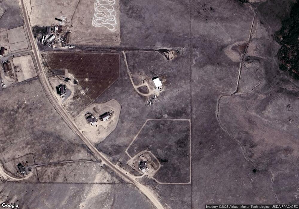
Map
Nearby Homes
- 1483 Gilchrist Rd
- 879 S Table Mtn Loop
- Tract 29 Latigo Loop
- 759 Crow Creek Rd
- Tr 10 Tomahawk Rd
- 1102 Dusty Rd
- 1709 Shadow Valley Rd
- TBD Road 112
- 1100 Brundage Rd
- 1069 W Plains Rd
- 1796 Spring Creek Rd
- 1047 W Plains Rd
- 1207 Road 113
- 1806 Mountain Shadow Ln S
- 1113 Indiana Rd
- 1889 Road 109
- 985 Range Line Rd
- 0 Range Line Rd
- 1526 Fox Chase Rd
- Lot 99 Tennessee Rd
- 1409 Road 109
- 1409 Gilchrist Rd
- 1401 Gilchrist Rd
- 1417 Road 109
- 1417 Gilchrist Rd
- 1429 Gilchrist Rd
- 1426 Gilchrist Rd
- 1404 Gilchrist Rd
- 1404 Road 109
- 1445 Gilchrist Rd
- 1434 Gilchrist Rd
- 1442 Gilchrist Rd
- 1454 Gilchrist Rd
- 1454 Road 109
- 841 Latigo Loop
- 875 Latigo Loop
- 869 Latigo Loop
- 839 Latigo Loop
- 1457 Gilchrist Rd
- 1457 Road 109