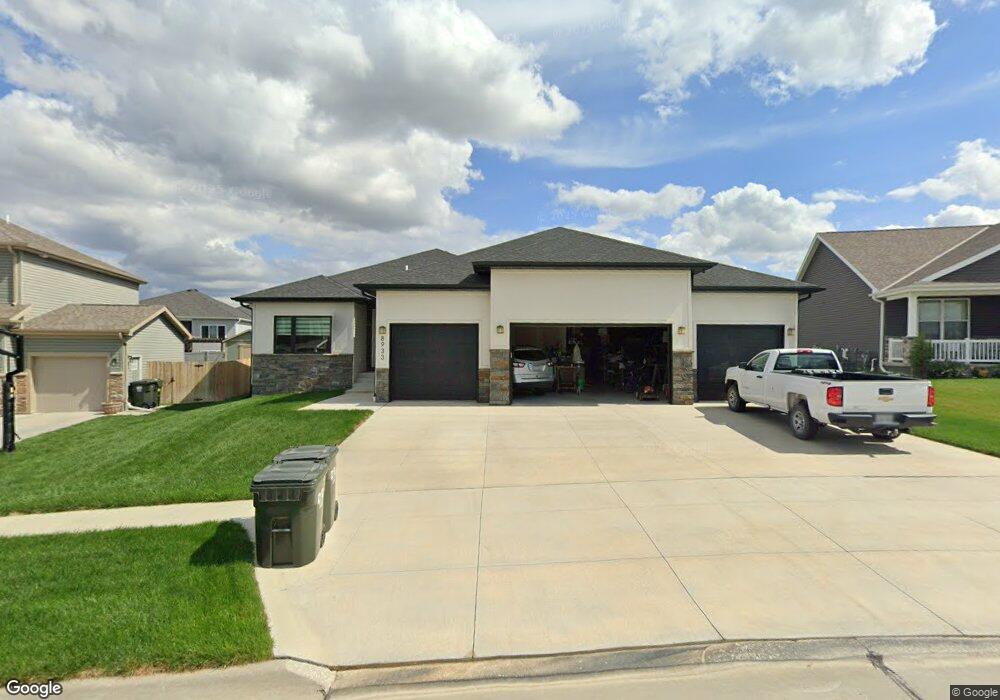
8933 Trader Ct Lincoln, NE 68507
Northeast Lincoln NeighborhoodEstimated Value: $469,000 - $522,000
2
Beds
5
Baths
1,579
Sq Ft
$313/Sq Ft
Est. Value
About This Home
This home is located at 8933 Trader Ct, Lincoln, NE 68507 and is currently estimated at $493,451, approximately $312 per square foot. 8933 Trader Ct is a home located in Lancaster County with nearby schools including Pershing Elementary School, Mickle Middle School, and Lincoln Northeast High School.
Ownership History
Date
Name
Owned For
Owner Type
Purchase Details
Closed on
Oct 21, 2020
Sold by
Old City Homes Inc
Bought by
Rolff Dale and Rolff Julie
Current Estimated Value
Home Financials for this Owner
Home Financials are based on the most recent Mortgage that was taken out on this home.
Original Mortgage
$342,000
Outstanding Balance
$303,636
Interest Rate
2.8%
Mortgage Type
New Conventional
Estimated Equity
$189,815
Purchase Details
Closed on
Feb 26, 2020
Sold by
Starostka Lewis Llc
Bought by
Old City Homes Inc
Home Financials for this Owner
Home Financials are based on the most recent Mortgage that was taken out on this home.
Original Mortgage
$258,100
Interest Rate
3.4%
Mortgage Type
Construction
Create a Home Valuation Report for This Property
The Home Valuation Report is an in-depth analysis detailing your home's value as well as a comparison with similar homes in the area
Home Values in the Area
Average Home Value in this Area
Purchase History
| Date | Buyer | Sale Price | Title Company |
|---|---|---|---|
| Rolff Dale | $360,000 | Charter T&E Svcs Inc | |
| Rolff Dale | $360,000 | Charter T&E Svcs Inc | |
| Old City Homes Inc | $62,000 | Charter T&E Svcs Inc | |
| Old City Homes Inc | $62,000 | Charter T&E Svcs Inc |
Source: Public Records
Mortgage History
| Date | Status | Borrower | Loan Amount |
|---|---|---|---|
| Open | Rolff Dale | $342,000 | |
| Previous Owner | Old City Homes Inc | $258,100 |
Source: Public Records
Tax History Compared to Growth
Tax History
| Year | Tax Paid | Tax Assessment Tax Assessment Total Assessment is a certain percentage of the fair market value that is determined by local assessors to be the total taxable value of land and additions on the property. | Land | Improvement |
|---|---|---|---|---|
| 2025 | $6,086 | $464,900 | $70,000 | $394,900 |
| 2024 | $6,086 | $440,700 | $70,000 | $370,700 |
| 2023 | $7,018 | $421,600 | $70,000 | $351,600 |
| 2022 | $6,601 | $332,700 | $55,000 | $277,700 |
| 2021 | $6,244 | $332,700 | $55,000 | $277,700 |
| 2020 | $1,044 | $55,000 | $55,000 | $0 |
| 2019 | $1,032 | $55,000 | $55,000 | $0 |
| 2018 | $467 | $25,000 | $25,000 | $0 |
Source: Public Records
Map
Nearby Homes
- 8920 Trader Ct
- 8915 Buckshot Rd
- San Mateo Plan at Prairie Village North
- Stella Plan at Prairie Village North
- Kendrick Plan at Prairie Village North
- Katy Lissette Plan at Prairie Village North
- Joslyn Plan at Prairie Village North
- Grace Plan at Prairie Village North
- Ava Nicole 1625 Plan at Prairie Village North
- Ava Nicole 1546 Plan at Prairie Village North
- 2825 N 91st Ct
- 3517 N 89th St
- 8976 Buckshot Rd
- 3328 N 92nd St
- 3110 N 91st Ct
- 2821 N 90th St
- 3352 Renegade Blvd
- 3318 N 94th St
- 2911 N 91st Ct
- 3123 N 95th St
- 8933 Trader Ct
- 8937 Trader Ct
- 8929 Trader Ct
- 8929 Trader Ct
- 9020 Stetson Dr
- 9020 Stetson - Model Dr
- 9010 Stetson Dr
- 9100 Stetson Dr
- 8925 Trader Ct
- 8925 Trader Ct
- 8950 Stetson Dr
- 8938 Trader Ct
- 8938 Trader Ct
- 9005 Trader Dr
- 3320 Marty Dr
- 8940 Stetson Dr
- 8928 Trader Ct
- 9000 Trader Dr
- 8928 Trader Ct
- 8921 Trader Ct