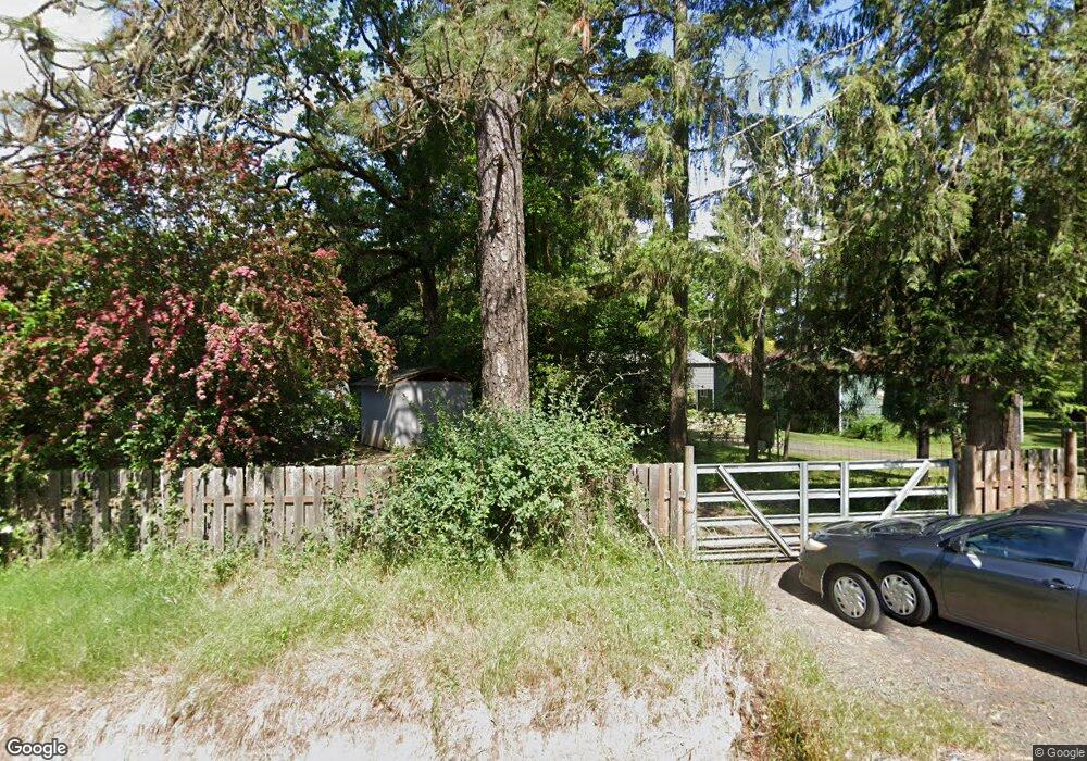
89340 Territorial Rd Elmira, OR 97437
Estimated Value: $452,000 - $649,000
2
Beds
1
Bath
1,054
Sq Ft
$514/Sq Ft
Est. Value
About This Home
This home is located at 89340 Territorial Rd, Elmira, OR 97437 and is currently estimated at $542,077, approximately $514 per square foot. 89340 Territorial Rd is a home located in Lane County with nearby schools including Elmira Elementary School, Fern Ridge Middle School, and Elmira High School.
Ownership History
Date
Name
Owned For
Owner Type
Purchase Details
Closed on
Nov 10, 2004
Sold by
Coffin Yolanda V and Eaves Yolanda V
Bought by
Coffin Yolanda and Coffin Loren P
Current Estimated Value
Home Financials for this Owner
Home Financials are based on the most recent Mortgage that was taken out on this home.
Original Mortgage
$142,400
Outstanding Balance
$70,124
Interest Rate
5.79%
Mortgage Type
New Conventional
Estimated Equity
$471,953
Purchase Details
Closed on
Sep 27, 2002
Sold by
Perala Della Charlene
Bought by
Eaves Yolanda
Home Financials for this Owner
Home Financials are based on the most recent Mortgage that was taken out on this home.
Original Mortgage
$113,600
Interest Rate
6.05%
Create a Home Valuation Report for This Property
The Home Valuation Report is an in-depth analysis detailing your home's value as well as a comparison with similar homes in the area
Home Values in the Area
Average Home Value in this Area
Purchase History
| Date | Buyer | Sale Price | Title Company |
|---|---|---|---|
| Coffin Yolanda | -- | Cascade Title Co | |
| Eaves Yolanda | $142,000 | Fidelity National Title Co |
Source: Public Records
Mortgage History
| Date | Status | Borrower | Loan Amount |
|---|---|---|---|
| Open | Coffin Yolanda | $142,400 | |
| Closed | Eaves Yolanda | $113,600 | |
| Closed | Eaves Yolanda | $28,400 | |
| Closed | Coffin Yolanda | $17,800 |
Source: Public Records
Tax History Compared to Growth
Tax History
| Year | Tax Paid | Tax Assessment Tax Assessment Total Assessment is a certain percentage of the fair market value that is determined by local assessors to be the total taxable value of land and additions on the property. | Land | Improvement |
|---|---|---|---|---|
| 2025 | $3,225 | $243,387 | -- | -- |
| 2024 | $3,134 | $236,299 | -- | -- |
| 2023 | $3,134 | $229,417 | $0 | $0 |
| 2022 | $2,929 | $222,735 | $0 | $0 |
| 2021 | $2,693 | $216,248 | $0 | $0 |
| 2020 | $2,625 | $209,950 | $0 | $0 |
| 2019 | $2,560 | $203,835 | $0 | $0 |
| 2018 | $2,471 | $192,135 | $0 | $0 |
| 2017 | $2,367 | $192,135 | $0 | $0 |
| 2016 | $2,272 | $186,539 | $0 | $0 |
| 2015 | $2,247 | $181,106 | $0 | $0 |
| 2014 | $2,202 | $175,831 | $0 | $0 |
Source: Public Records
Map
Nearby Homes
- 89312 Territorial Rd
- 88793 Territorial Hwy
- 88800 Winter Ln
- 0 Lakeshore Lot 1 Unit 119637472
- 0 Lakeshore Lot 2
- 0 Territorial Hwy
- 25234 Tanglewood Way
- 25262 Tanglewood Way
- 25228 Tanglewood Way
- 0
- 0 Umanski Ln
- 24417 Sailview Dr
- 88454 Sproat Ranch Rd
- 0 Jeans Rd Unit 22292812
- 0 Jeans Rd Unit 758212635
- 0 Jeans Rd Unit 218932234
- 25229 Tanglewood Way
- 25221 Tanglewood Way
- 25263 Tanglewood Way
- 25220 Tanglewood Way
- 89324 Territorial Rd
- 89364 Territorial Rd
- 89283 Territorial Rd
- 89363 Territorial Rd
- 89312 Territorial Rd
- 89375 Territorial Rd
- 89308 Territorial Rd
- 89406 Territorial Rd
- 89406 Territorial Rd
- 89410 Territorial Hwy
- 89387 Territorial Hwy
- 89237 Demming Rd
- 89405 Territorial Rd
- 89274 Territorial Rd
- 89353 Demming Rd
- 89253 Territorial Rd
- 89295 Demming Rd
- 89293 Demming Rd
- 89422 Territorial Hwy
- 89422 Territorial Rd