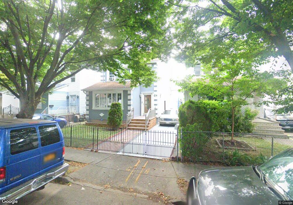
8937 239th St Bellerose, NY 11426
Bellerose NeighborhoodEstimated Value: $659,052 - $801,000
--
Bed
--
Bath
1,270
Sq Ft
$584/Sq Ft
Est. Value
About This Home
This home is located at 8937 239th St, Bellerose, NY 11426 and is currently estimated at $741,763, approximately $584 per square foot. 8937 239th St is a home located in Queens County with nearby schools including P.S. 33 Edward M. Funk, Jean Nuzzi Intermediate School, and Martin Van Buren High School.
Ownership History
Date
Name
Owned For
Owner Type
Purchase Details
Closed on
Oct 31, 1996
Sold by
Rite Properties Ltd
Bought by
Sylvester Cornel A and Balck Sandra O
Current Estimated Value
Home Financials for this Owner
Home Financials are based on the most recent Mortgage that was taken out on this home.
Original Mortgage
$170,050
Interest Rate
7.48%
Purchase Details
Closed on
Jul 12, 1996
Sold by
Bruckner Mary and Landau Frances
Bought by
Rite Properties Ltd
Create a Home Valuation Report for This Property
The Home Valuation Report is an in-depth analysis detailing your home's value as well as a comparison with similar homes in the area
Home Values in the Area
Average Home Value in this Area
Purchase History
| Date | Buyer | Sale Price | Title Company |
|---|---|---|---|
| Sylvester Cornel A | $179,000 | First American Title Ins Co | |
| Rite Properties Ltd | $115,800 | Title Usa Insurance Corp |
Source: Public Records
Mortgage History
| Date | Status | Borrower | Loan Amount |
|---|---|---|---|
| Previous Owner | Sylvester Cornel A | $170,050 |
Source: Public Records
Tax History Compared to Growth
Tax History
| Year | Tax Paid | Tax Assessment Tax Assessment Total Assessment is a certain percentage of the fair market value that is determined by local assessors to be the total taxable value of land and additions on the property. | Land | Improvement |
|---|---|---|---|---|
| 2025 | $5,936 | $31,956 | $10,146 | $21,810 |
| 2024 | $5,948 | $30,954 | $10,892 | $20,062 |
| 2023 | $5,591 | $29,237 | $11,035 | $18,202 |
| 2022 | $5,292 | $39,060 | $14,040 | $25,020 |
| 2021 | $5,314 | $38,460 | $14,040 | $24,420 |
| 2020 | $5,341 | $33,060 | $14,040 | $19,020 |
| 2019 | $5,103 | $33,000 | $14,040 | $18,960 |
| 2018 | $4,669 | $24,364 | $11,588 | $12,776 |
| 2017 | $4,448 | $23,288 | $11,031 | $12,257 |
| 2016 | $4,131 | $23,288 | $11,031 | $12,257 |
| 2015 | $2,430 | $22,192 | $11,727 | $10,465 |
| 2014 | $2,430 | $21,496 | $13,339 | $8,157 |
Source: Public Records
Map
Nearby Homes
- 8933 238th St
- 23727 Davenport Ave
- 8918 239th St
- 224-30 Edmore Ave
- 224-11 Edmore Ave
- 237-20 93rd Ave
- 93-24 243rd St
- 224-12 93rd Ave
- 22233 93rd Ave
- 8922 Moline St
- 24432 90th Ave
- 222-26 93rd Ave
- 241-05 87th Ave
- 24134 87th Ave
- 93-50 224th St
- 8948 Pontiac St
- 244-59 89th Ave
- 9434 238th St
- 22289 Braddock Ave Unit 1G
- 222-89 Braddock Ave Unit 6-D
- 8941 239th St
- 8935 239th St
- 8933 239th St
- 8945 239th St
- 8933 239th St
- 8929 239th St
- 8929 239th St
- 8938 240th St
- 8936 240th St
- 8942 240th St
- 8932 240th St
- 8946 240th St
- 8942 240th St
- 8927 239th St
- 23911 Braddock Ave
- 23905 Braddock Ave
- 23907 Braddock Ave
- 239-05 Braddock Ave Unit 1
- 239-05 Braddock Ave
- 8930 240th St