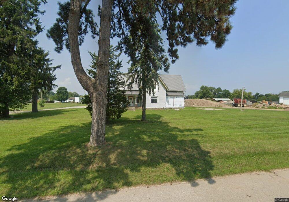
894 E Chicago Rd Quincy, MI 49082
Estimated Value: $160,254 - $314,000
1
Bed
1
Bath
2,141
Sq Ft
$94/Sq Ft
Est. Value
About This Home
This home is located at 894 E Chicago Rd, Quincy, MI 49082 and is currently estimated at $201,814, approximately $94 per square foot. 894 E Chicago Rd is a home located in Branch County with nearby schools including Jennings Elementary School, Quincy Middle School, and Quincy High School.
Ownership History
Date
Name
Owned For
Owner Type
Purchase Details
Closed on
Aug 21, 2018
Sold by
Brenner Robert and Brenner Arline G
Bought by
Handy Chad D and Warner Angela
Current Estimated Value
Home Financials for this Owner
Home Financials are based on the most recent Mortgage that was taken out on this home.
Original Mortgage
$50,000
Outstanding Balance
$43,423
Interest Rate
4.5%
Mortgage Type
Purchase Money Mortgage
Estimated Equity
$158,391
Purchase Details
Closed on
Aug 1, 2000
Bought by
Brenner Robert and Brenner Arline G
Purchase Details
Closed on
Oct 13, 1995
Create a Home Valuation Report for This Property
The Home Valuation Report is an in-depth analysis detailing your home's value as well as a comparison with similar homes in the area
Purchase History
| Date | Buyer | Sale Price | Title Company |
|---|---|---|---|
| Handy Chad D | $52,000 | None Available | |
| Brenner Robert | $98,500 | -- | |
| -- | $48,000 | -- |
Source: Public Records
Mortgage History
| Date | Status | Borrower | Loan Amount |
|---|---|---|---|
| Open | Handy Chad D | $50,000 |
Source: Public Records
Tax History
| Year | Tax Paid | Tax Assessment Tax Assessment Total Assessment is a certain percentage of the fair market value that is determined by local assessors to be the total taxable value of land and additions on the property. | Land | Improvement |
|---|---|---|---|---|
| 2025 | $1,773 | $79,039 | $0 | $0 |
| 2024 | $5 | $67,131 | $0 | $0 |
| 2023 | $520 | $52,475 | $0 | $0 |
| 2022 | $520 | $49,474 | $0 | $0 |
| 2020 | -- | $26,773 | $0 | $0 |
| 2019 | -- | $26,713 | $0 | $0 |
| 2018 | -- | $38,455 | $0 | $0 |
| 2017 | -- | $33,932 | $0 | $0 |
| 2016 | -- | $35,322 | $0 | $0 |
| 2015 | -- | $35,449 | $0 | $0 |
| 2014 | -- | $41,197 | $0 | $0 |
| 2013 | -- | $40,131 | $0 | $0 |
Source: Public Records
Map
Nearby Homes
- 493 Richard St
- 46 W Chicago St
- 8 Hunting Trail Ave
- 14 Cole St
- 29 Broughton St
- 345 N Fremont Rd
- 732 Cambridge Dr
- 1085 E Chicago Rd
- 1085 E Chicago Rd Unit B
- 1085 E Chicago Rd Unit A
- 201 Wildwood Beach Rd
- 808 Rolling Meadows Dr
- 981 Generic Dr
- 0 Lott Rd
- VL N Fiske Rd
- 0 Wildwood Rd
- 410 N Fiske Rd
- 944 Lukesport Rd
- 586 Schaeffer Dr
- 571 Scott Dr
- 894 E Chicago Rd
- 890 E Chicago Rd
- 879 Lawrence St
- 898 E Chicago Rd
- 875 Lawrence St
- 871 Lawrence St
- 883 Lawrence St
- 883 Lawrence St
- 867 Lawrence St
- 888 E Chicago Rd
- 863 Lawrence St
- 0 Lawrence St
- 401 Richard St
- 891 Lawrence St
- 408 Quincy Grange Rd
- 859 Lawrence St
- 405 Richard St
- 892 Lawrence St
- 855 Lawrence St
- 900 E Chicago Rd
Your Personal Tour Guide
Ask me questions while you tour the home.