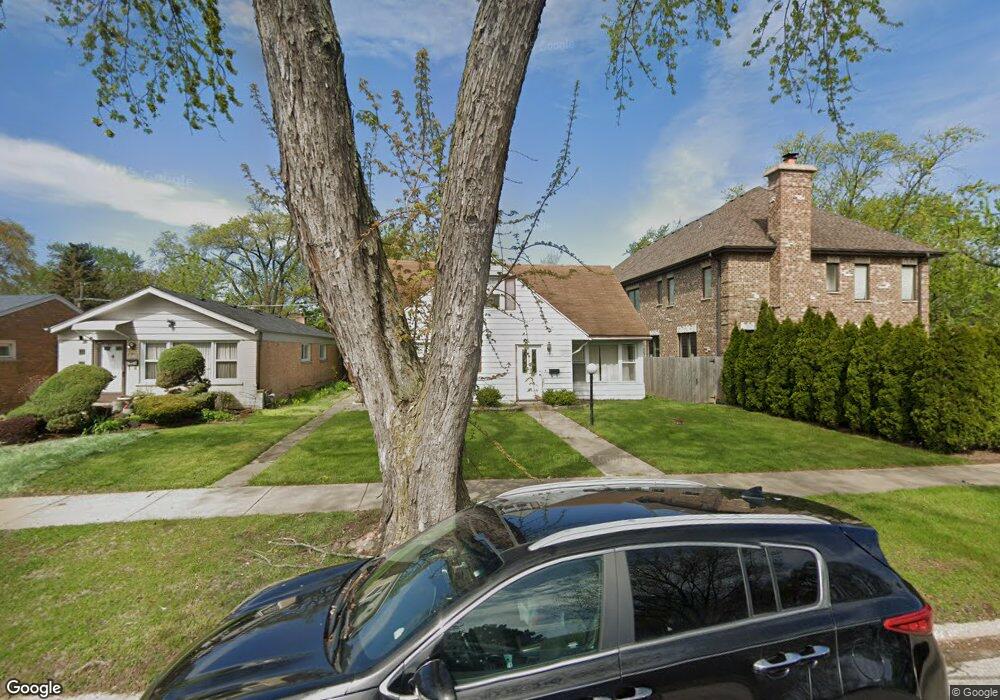
8940 Linder Ave Morton Grove, IL 60053
Estimated Value: $422,360 - $559,000
2
Beds
2
Baths
1,739
Sq Ft
$277/Sq Ft
Est. Value
About This Home
This home is located at 8940 Linder Ave, Morton Grove, IL 60053 and is currently estimated at $480,840, approximately $276 per square foot. 8940 Linder Ave is a home located in Cook County with nearby schools including Park View Elementary School, Niles West High School, and Arie Crown Hebrew Day School.
Ownership History
Date
Name
Owned For
Owner Type
Purchase Details
Closed on
Oct 31, 2008
Sold by
Midwest Real Estate Investment Company
Bought by
Jane Ivonne E
Current Estimated Value
Purchase Details
Closed on
Apr 15, 2008
Sold by
Baist John C
Bought by
Household Finance Corp Iii
Purchase Details
Closed on
Jun 24, 2003
Sold by
Orr David D
Bought by
Midwest Real Estate Investment Co
Purchase Details
Closed on
Mar 20, 2002
Sold by
Baist John
Bought by
Baist Sandra
Create a Home Valuation Report for This Property
The Home Valuation Report is an in-depth analysis detailing your home's value as well as a comparison with similar homes in the area
Home Values in the Area
Average Home Value in this Area
Purchase History
| Date | Buyer | Sale Price | Title Company |
|---|---|---|---|
| Jane Ivonne E | -- | None Available | |
| Household Finance Corp Iii | -- | None Available | |
| Midwest Real Estate Investment Co | -- | -- | |
| Baist Sandra | -- | -- |
Source: Public Records
Tax History
| Year | Tax Paid | Tax Assessment Tax Assessment Total Assessment is a certain percentage of the fair market value that is determined by local assessors to be the total taxable value of land and additions on the property. | Land | Improvement |
|---|---|---|---|---|
| 2025 | $6,223 | $24,660 | $4,650 | $20,010 |
| 2024 | $6,223 | $21,546 | $3,900 | $17,646 |
| 2023 | $5,930 | $21,546 | $3,900 | $17,646 |
| 2022 | $5,930 | $21,546 | $3,900 | $17,646 |
| 2021 | $4,798 | $14,958 | $2,400 | $12,558 |
| 2020 | $4,670 | $14,958 | $2,400 | $12,558 |
| 2019 | $4,723 | $16,867 | $2,400 | $14,467 |
| 2018 | $5,623 | $17,821 | $2,175 | $15,646 |
| 2017 | $5,665 | $17,821 | $2,175 | $15,646 |
| 2016 | $5,340 | $17,821 | $2,175 | $15,646 |
| 2015 | $5,642 | $17,508 | $1,875 | $15,633 |
| 2014 | $5,636 | $17,508 | $1,875 | $15,633 |
| 2013 | $5,507 | $17,508 | $1,875 | $15,633 |
Source: Public Records
Map
Nearby Homes
- 8912 Harms Rd
- 5536 Greenwood St
- 8922 Parkside Ave
- 9017 Major Ave
- 9041 Major Ave
- 5310 Davis St
- 8708 Central Ave
- 8926 Menard Ave
- 8646 Harms Rd
- 5714 Crain St
- 9023 Marmora Ave
- 5341 Greenleaf St
- 5237 Conrad St
- 5738 Lyons St
- 5133 Carol St
- 8541 Lotus Ave Unit 712
- 5251 Greenleaf St
- 5510 Lincoln Ave Unit B101
- 5510 Lincoln Ave Unit B205
- 5506 Lincoln Ave Unit A511
- 8940 Linder Ave
- 8938 Linder Ave
- 8936 Linder Ave
- 8936 Linder Ave
- 8942 Linder Ave
- 5511 Lake St
- 8932 Linder Ave
- 8932 Linder Ave
- 5455 Grove St
- 5515 Lake St
- 9000 Linder Ave
- 9000 Linder Ave
- 5458 Suffield Ct
- 8935 Harms Rd
- 8933 Harms Rd
- 8926 Linder Ave
- 5451 Grove St
- 8937 Harms Rd
- 8929 Harms Rd
- 8943 Harms Rd
Your Personal Tour Guide
Ask me questions while you tour the home.