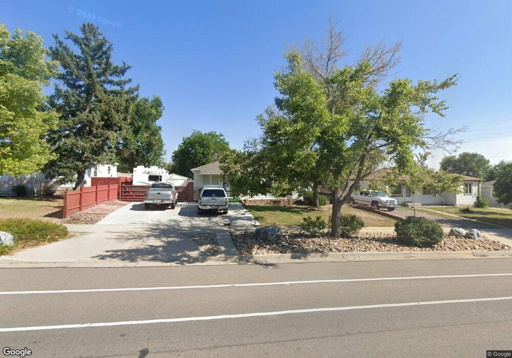
8940 Poze Blvd Thornton, CO 80229
South Thornton NeighborhoodEstimated Value: $356,873 - $406,000
3
Beds
1
Bath
1,002
Sq Ft
$387/Sq Ft
Est. Value
About This Home
This home is located at 8940 Poze Blvd, Thornton, CO 80229 and is currently estimated at $387,718, approximately $386 per square foot. 8940 Poze Blvd is a home located in Adams County with nearby schools including Trailside Academy.
Ownership History
Date
Name
Owned For
Owner Type
Purchase Details
Closed on
Nov 17, 2000
Sold by
Robey Kristine L
Bought by
Gilmore Gene and Gilmore Veronica
Current Estimated Value
Home Financials for this Owner
Home Financials are based on the most recent Mortgage that was taken out on this home.
Original Mortgage
$132,254
Outstanding Balance
$48,663
Interest Rate
7.86%
Mortgage Type
FHA
Estimated Equity
$339,055
Purchase Details
Closed on
Feb 27, 1997
Sold by
White Robert E and White Corinne E
Bought by
Robey Kristine L
Home Financials for this Owner
Home Financials are based on the most recent Mortgage that was taken out on this home.
Original Mortgage
$25,421
Interest Rate
8.5%
Mortgage Type
Seller Take Back
Create a Home Valuation Report for This Property
The Home Valuation Report is an in-depth analysis detailing your home's value as well as a comparison with similar homes in the area
Home Values in the Area
Average Home Value in this Area
Purchase History
| Date | Buyer | Sale Price | Title Company |
|---|---|---|---|
| Gilmore Gene | $133,250 | -- | |
| Robey Kristine L | $79,500 | Land Title |
Source: Public Records
Mortgage History
| Date | Status | Borrower | Loan Amount |
|---|---|---|---|
| Open | Gilmore Gene | $132,254 | |
| Previous Owner | Robey Kristine L | $25,421 |
Source: Public Records
Tax History Compared to Growth
Tax History
| Year | Tax Paid | Tax Assessment Tax Assessment Total Assessment is a certain percentage of the fair market value that is determined by local assessors to be the total taxable value of land and additions on the property. | Land | Improvement |
|---|---|---|---|---|
| 2024 | $1,967 | $21,760 | $5,630 | $16,130 |
| 2023 | $1,951 | $24,630 | $6,090 | $18,540 |
| 2022 | $1,945 | $19,510 | $5,280 | $14,230 |
| 2021 | $1,835 | $19,510 | $5,280 | $14,230 |
| 2020 | $1,785 | $19,180 | $5,430 | $13,750 |
| 2019 | $1,795 | $19,180 | $5,430 | $13,750 |
| 2018 | $1,436 | $14,440 | $5,180 | $9,260 |
| 2017 | $1,407 | $14,440 | $5,180 | $9,260 |
| 2016 | $1,040 | $10,460 | $2,550 | $7,910 |
| 2015 | $909 | $10,460 | $2,550 | $7,910 |
| 2014 | $725 | $8,110 | $1,990 | $6,120 |
Source: Public Records
Map
Nearby Homes
- 9121 Lilly Ct
- 8861 Poze Blvd
- 8960 Vine St
- 2081 E 88th Ave
- 1490 Oak Place
- 2141 E 88th Ave
- 1290 Ash Ct
- 2241 Oak Place
- 9171 Fir Dr
- 8681 Hopkins Dr
- 9211 Harris St
- 1050 Ash Ct
- 8770 Rainbow Ave Unit A
- 1010 Ash Ct
- 991 Oak Place
- 1250 Eppinger Blvd
- 9270 Fir Dr
- 2469 Devonshire Ct Unit 32
- 2427 Rainbow Dr Unit 29
- 9330 Lilly Ct