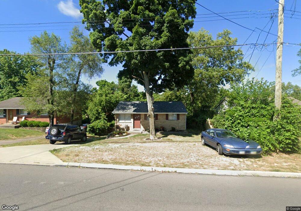
8941 Pippin Rd Cincinnati, OH 45251
Estimated Value: $164,000 - $233,000
4
Beds
2
Baths
1,257
Sq Ft
$155/Sq Ft
Est. Value
About This Home
This home is located at 8941 Pippin Rd, Cincinnati, OH 45251 and is currently estimated at $194,671, approximately $154 per square foot. 8941 Pippin Rd is a home located in Hamilton County with nearby schools including Colerain Elementary School, Colerain Middle School, and Colerain High School.
Ownership History
Date
Name
Owned For
Owner Type
Purchase Details
Closed on
Jan 25, 2013
Sold by
Loose Mark L and Meyer Tamara
Bought by
Loose Mark L and Meyer Tamara
Current Estimated Value
Home Financials for this Owner
Home Financials are based on the most recent Mortgage that was taken out on this home.
Original Mortgage
$75,000
Outstanding Balance
$14,754
Interest Rate
3.34%
Mortgage Type
New Conventional
Estimated Equity
$179,917
Purchase Details
Closed on
Oct 9, 2001
Sold by
Benigno Pilco and Benigno Kathleen
Bought by
Loose Mark L
Home Financials for this Owner
Home Financials are based on the most recent Mortgage that was taken out on this home.
Original Mortgage
$78,000
Interest Rate
6.99%
Purchase Details
Closed on
Jun 29, 1994
Sold by
Sanning Scott Allen and Sanning Karen S
Bought by
Pilco Benigno and Pilco Kathleen
Home Financials for this Owner
Home Financials are based on the most recent Mortgage that was taken out on this home.
Original Mortgage
$62,500
Interest Rate
8.66%
Mortgage Type
FHA
Create a Home Valuation Report for This Property
The Home Valuation Report is an in-depth analysis detailing your home's value as well as a comparison with similar homes in the area
Home Values in the Area
Average Home Value in this Area
Purchase History
| Date | Buyer | Sale Price | Title Company |
|---|---|---|---|
| Loose Mark L | -- | 360 American Title Svcs Nky | |
| Loose Mark L | $78,000 | Transnation Title Insurance | |
| Pilco Benigno | -- | -- |
Source: Public Records
Mortgage History
| Date | Status | Borrower | Loan Amount |
|---|---|---|---|
| Open | Loose Mark L | $75,000 | |
| Closed | Loose Mark L | $78,000 | |
| Previous Owner | Pilco Benigno | $62,500 |
Source: Public Records
Tax History Compared to Growth
Tax History
| Year | Tax Paid | Tax Assessment Tax Assessment Total Assessment is a certain percentage of the fair market value that is determined by local assessors to be the total taxable value of land and additions on the property. | Land | Improvement |
|---|---|---|---|---|
| 2024 | $2,394 | $44,856 | $10,598 | $34,258 |
| 2023 | $2,409 | $44,856 | $10,598 | $34,258 |
| 2022 | $1,776 | $26,947 | $8,288 | $18,659 |
| 2021 | $1,761 | $26,947 | $8,288 | $18,659 |
| 2020 | $1,779 | $26,947 | $8,288 | $18,659 |
| 2019 | $1,615 | $22,838 | $7,025 | $15,813 |
| 2018 | $1,449 | $22,838 | $7,025 | $15,813 |
| 2017 | $1,372 | $22,838 | $7,025 | $15,813 |
| 2016 | $1,642 | $26,975 | $9,657 | $17,318 |
| 2015 | $1,658 | $26,975 | $9,657 | $17,318 |
| 2014 | $1,660 | $26,975 | $9,657 | $17,318 |
| 2013 | $1,717 | $29,320 | $10,497 | $18,823 |
Source: Public Records
Map
Nearby Homes
- 2714 Compton Rd
- 8784 Pippin Rd
- 2664 Chopin Dr
- 8741 Beckys Ridge Dr
- 8625 Noelle Dr
- 8721 Moonlight Dr
- 2787 Rylan Dr
- 8707 Moonlight Ln
- 8980 Tripoli Dr
- Dallas Plan at North Ridge
- Avalon Plan at North Ridge
- Rockford Plan at North Ridge
- Aster Plan at North Ridge
- Daffodil Plan at North Ridge
- Sanibel Plan at North Ridge
- Daisy Plan at North Ridge
- 8628 Paisley Dr
- 2803 Sovereign Dr
- 8537 Noelle Dr
- 2807 Sovereign Dr