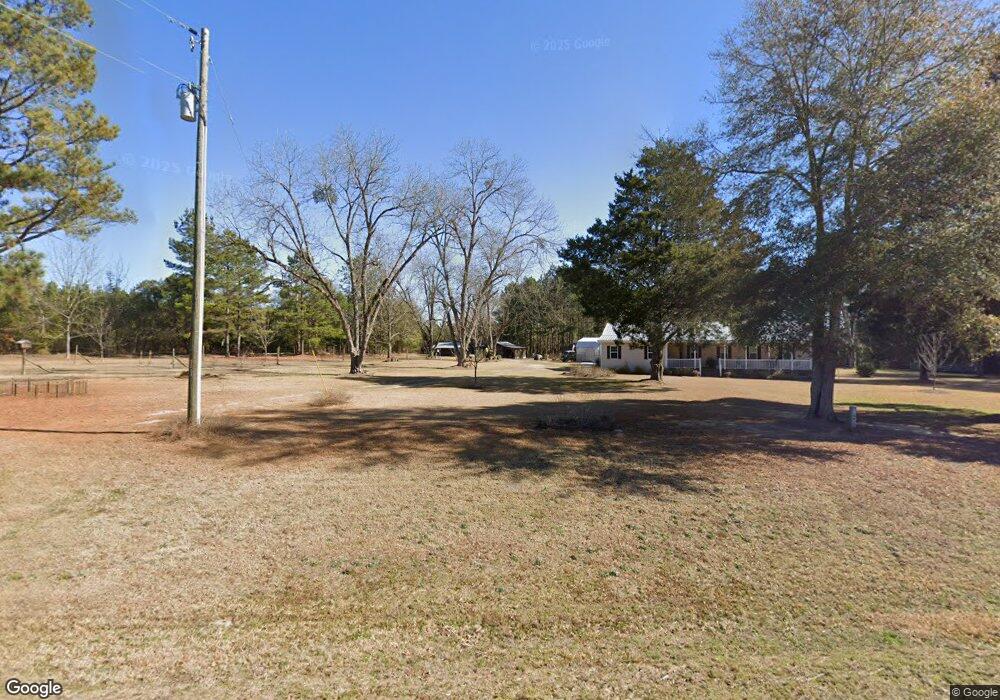
8944 Ga Highway 90 W Oglethorpe, GA 31068
Estimated Value: $201,000
Studio
2
Baths
1,868
Sq Ft
$108/Sq Ft
Est. Value
About This Home
This home is located at 8944 Ga Highway 90 W, Oglethorpe, GA 31068 and is currently estimated at $201,000, approximately $107 per square foot. 8944 Ga Highway 90 W is a home with nearby schools including Macon County Elementary School, Macon County Middle School, and Macon County High School.
Ownership History
Date
Name
Owned For
Owner Type
Purchase Details
Closed on
Jul 10, 2023
Sold by
Keller Joan D
Bought by
Cromer Angela Joan and Cromer Larry
Current Estimated Value
Purchase Details
Closed on
May 7, 2014
Sold by
Keller Kenneth W and Keller Joan D
Bought by
Keller Joan D
Purchase Details
Closed on
Dec 15, 2003
Sold by
Keller Joan D
Bought by
Keller Kenneth W and Keller Joan D
Purchase Details
Closed on
Oct 9, 2002
Sold by
Dominy William Edgar
Bought by
Keller Joan D
Purchase Details
Closed on
Jan 1, 1941
Bought by
Dominy F M
Create a Home Valuation Report for This Property
The Home Valuation Report is an in-depth analysis detailing your home's value as well as a comparison with similar homes in the area
Purchase History
| Date | Buyer | Sale Price | Title Company |
|---|---|---|---|
| Cromer Angela Joan | -- | -- | |
| Keller Joan D | -- | -- | |
| Keller Kenneth W | -- | -- | |
| Keller Joan D | $50,000 | -- | |
| Dominy William Edgar | -- | -- | |
| Dominy Timothy | -- | -- | |
| Dominy F M | -- | -- |
Source: Public Records
Tax History
| Year | Tax Paid | Tax Assessment Tax Assessment Total Assessment is a certain percentage of the fair market value that is determined by local assessors to be the total taxable value of land and additions on the property. | Land | Improvement |
|---|---|---|---|---|
| 2024 | $712 | $58,244 | $58,004 | $240 |
| 2023 | $2,295 | $117,245 | $62,283 | $54,962 |
| 2022 | $1,859 | $102,429 | $62,283 | $40,146 |
| 2021 | $1,601 | $55,248 | $41,971 | $13,277 |
| 2020 | $1,086 | $55,248 | $41,971 | $13,277 |
| 2019 | $1,531 | $52,843 | $41,971 | $10,872 |
| 2018 | $980 | $52,843 | $41,971 | $10,872 |
| 2017 | $970 | $52,843 | $41,971 | $10,872 |
| 2016 | $952 | $52,843 | $41,971 | $10,872 |
| 2015 | -- | $12,258 | $618 | $11,640 |
| 2014 | -- | $12,258 | $618 | $11,640 |
| 2013 | -- | $53,611 | $41,971 | $11,640 |
Source: Public Records
Map
Nearby Homes
- 1163 Old Ideal Rd
- Mead Rd
- 0 Gene Wilburn Rd
- 302 Anderson St
- 7522 Whitewater Rd
- 0 Marvis Chapman Rd Unit 25510380
- 0 Mead Rd & Cemetery Rd
- Brooks Mill Rd
- Robinson Rd
- 0 Les Smith Rd
- Les Smith Rd
- Pine Creek Rd
- 0 Pine Creek Rd
- 206 Southland Rd
- 93 Poole Rd
- 562 W Anderson St
- 204 Jordan St
- Parcel 5 Carl Rogers Rd
- Parcel 8 Carl Rogers Rd
- Parcel 13 Carl Rogers Rd
- 8894 Ga Highway 90 W
- 8597 Georgia 90
- 9341 Ga Highway 90 W
- 46 Homer Albritton Rd
- 8385 Ga Highway 90 W
- 1841 Old Ideal Rd
- 1493 Old Ideal Rd
- 1935 Old Ideal Rd
- 8177 Ga Highway 90 W
- 1031 Old Ideal Rd
- 1568 Old Ideal Rd
- 2035 Old Ideal Rd
- 2035 Old Ideal Rd
- 1991 Everett Wood Rd
- 619 Hines Rd
- 515 Hines Rd
- 922 Old Ideal Rd
- 578 Hines Rd
- 1060 Old Ideal Rd
- 8064 Ga Highway 90 W
Your Personal Tour Guide
Ask me questions while you tour the home.